Category Archives: Hikes

A weekend in Vegas

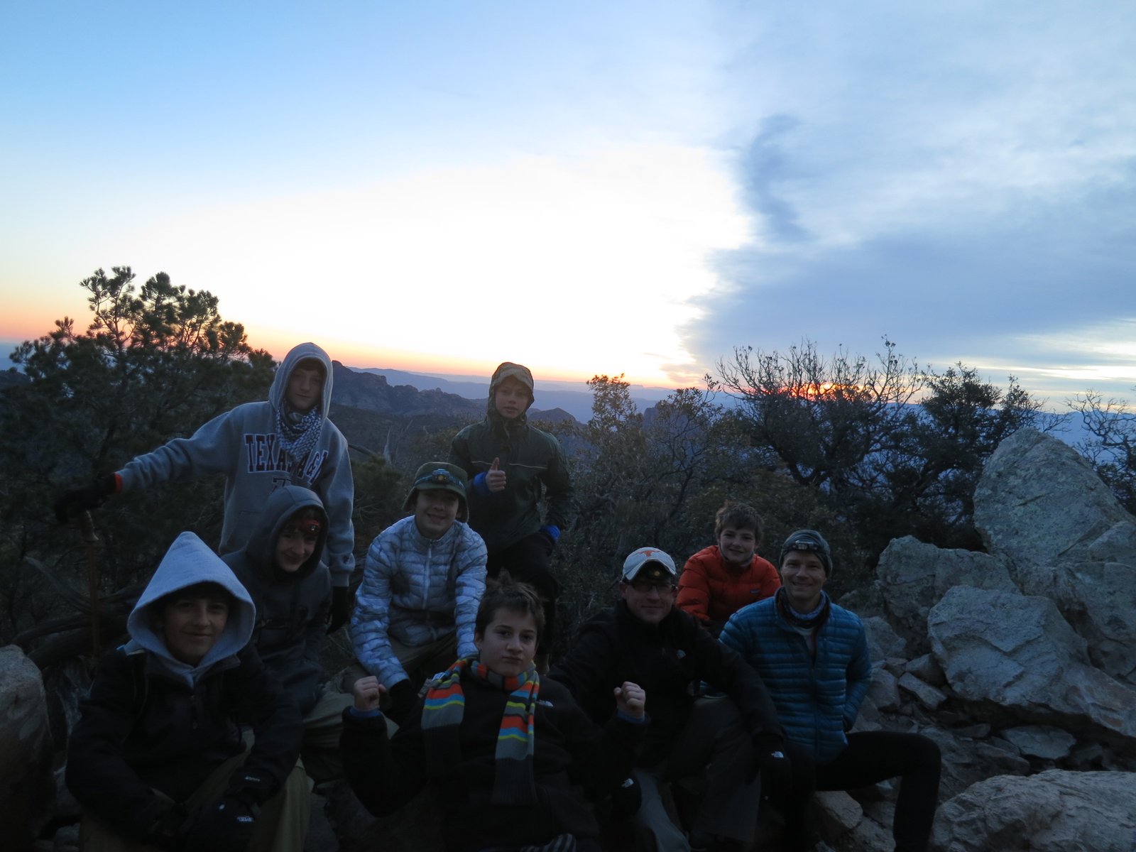
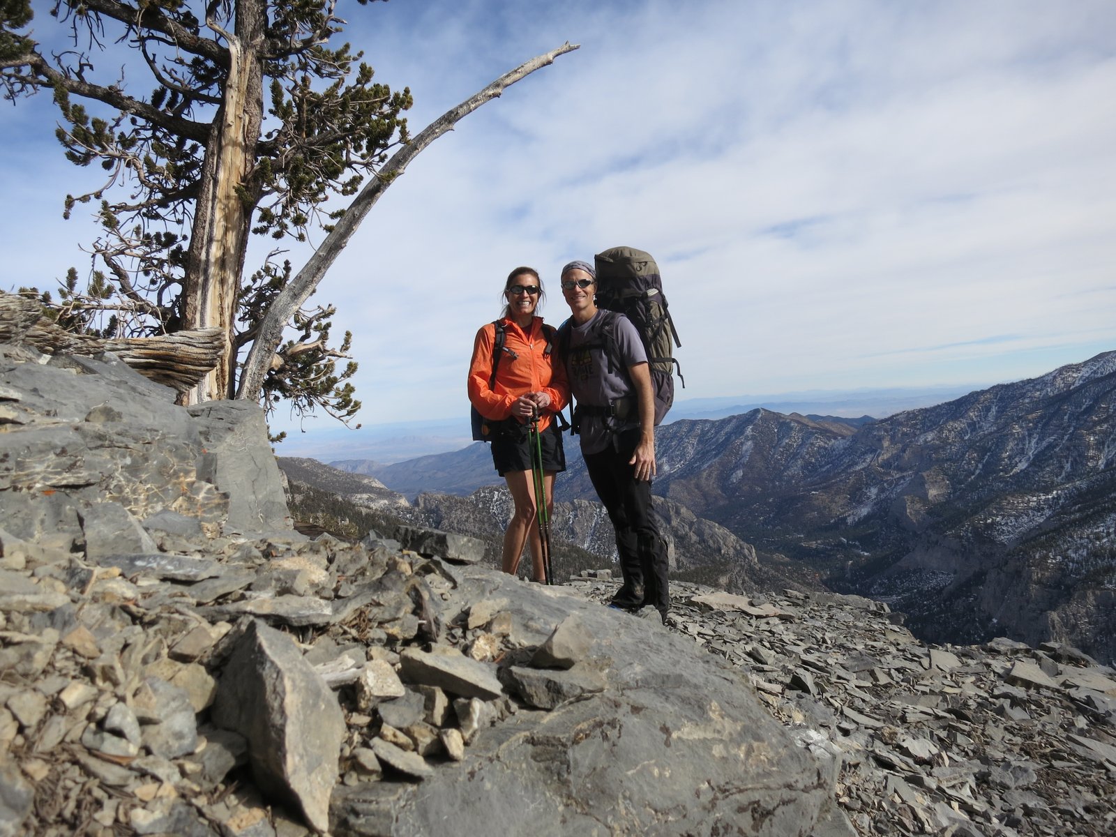
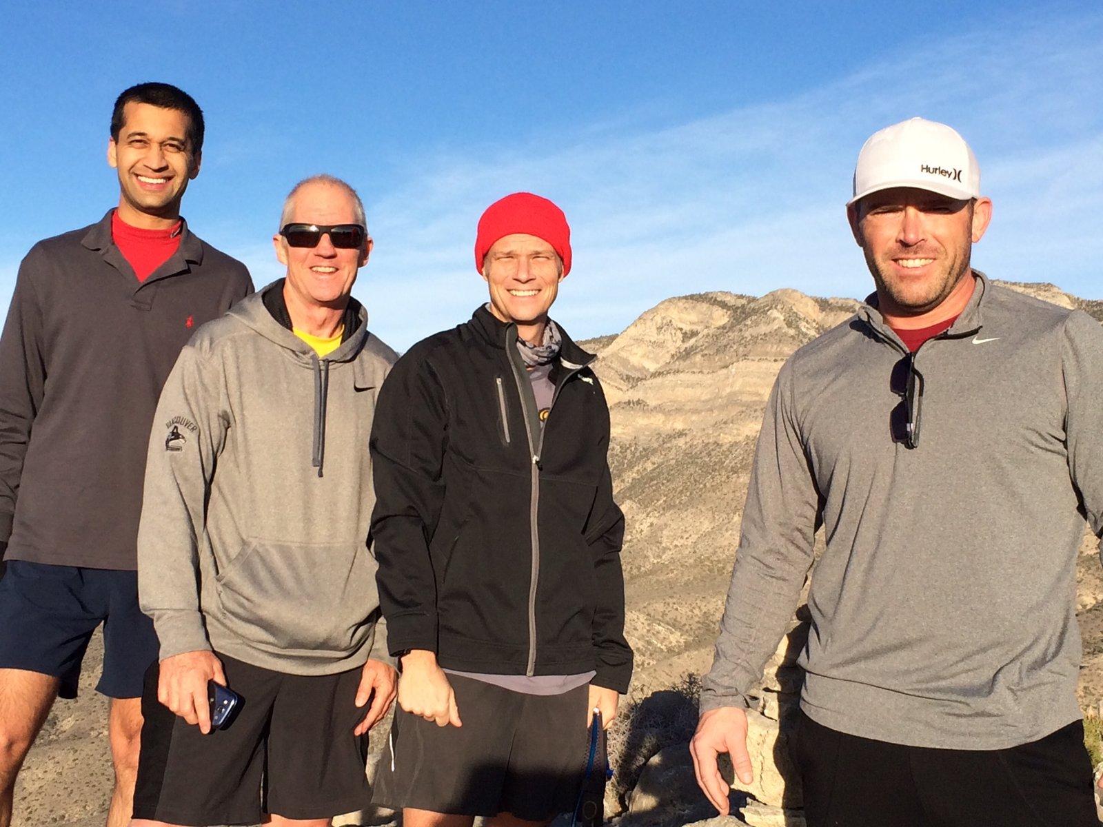
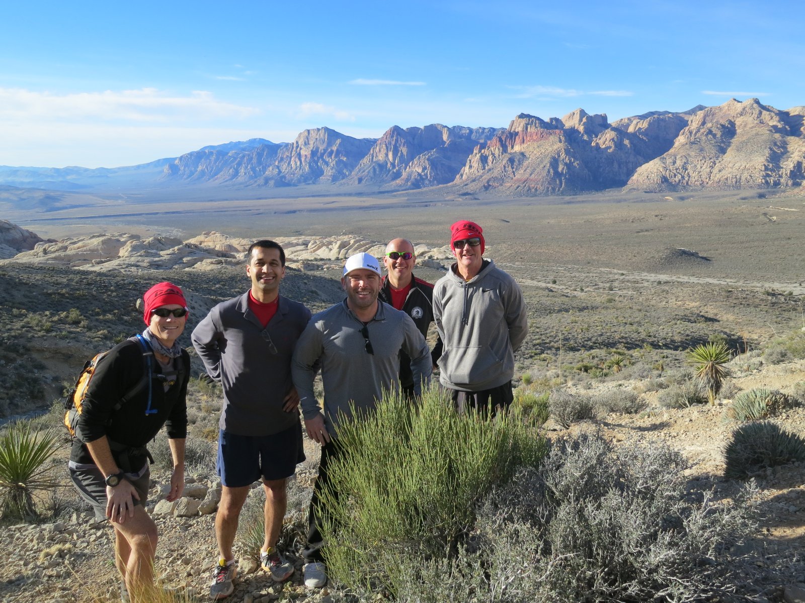
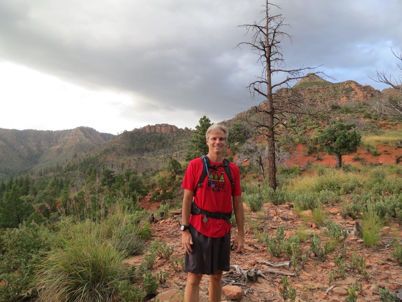
I needed to be in Vegas during the week for a work meeting, so Tracy and I came in on the Friday before to have a little fun.  For the third time, I attempted to summit Mt. Charleston from the North side and for the third time, I was turned back.  This time, I was with Tracy and Larry, a friend from work.

Our day started with meeting Larry at a local Starbucks at sunrise.  We were on the trail by 7:30am.

1Photo Feb 07, 6 29 47 AM

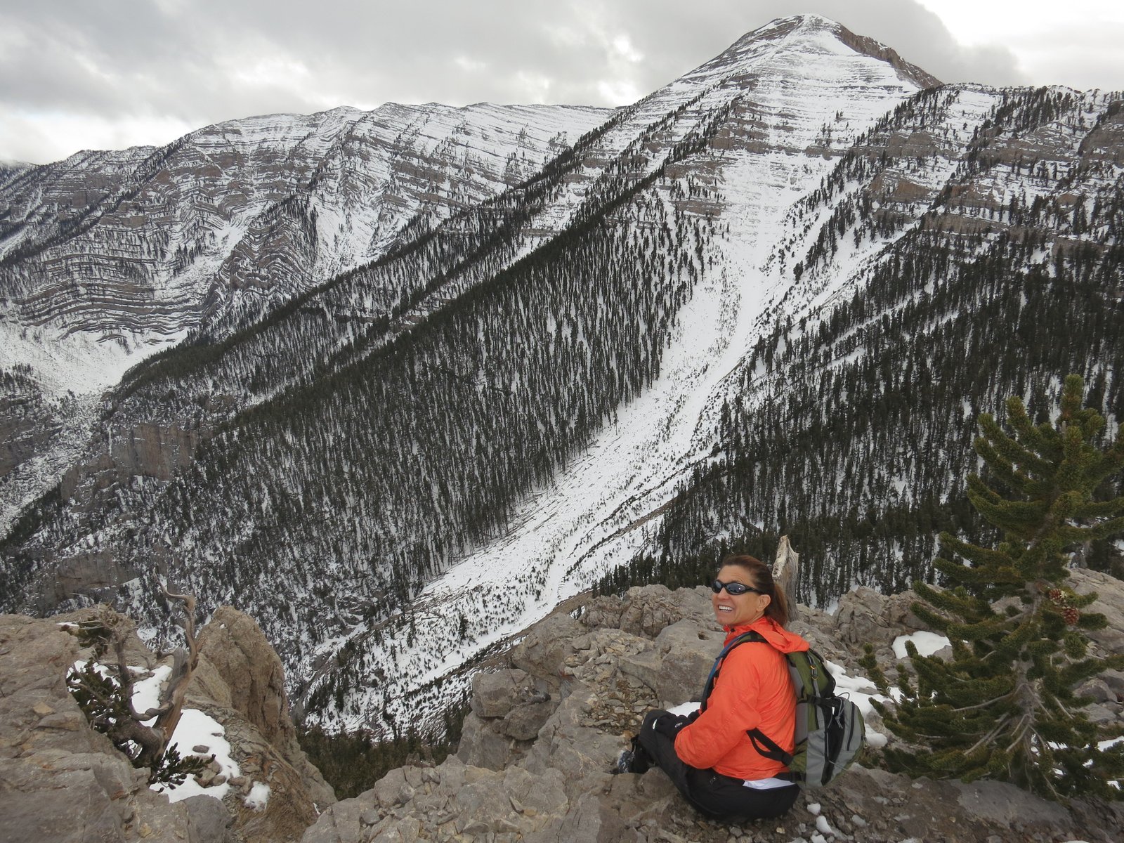
The weather was warm, clear, and much better than the forecast.  The only issue was that there seemed to be a lot of snow at the trail head.

1IMG_1627

By the time we hit the first switchbacks, we were in foot deep snow that would later get even deeper.  Luckily there were several tracks that we could follow to hopefully keep us on the right path.

1Photo Feb 07, 12 22 05 PM

We kept climbing and passed several people that were coming down after being turned back due to the snow.

1IMG_1636

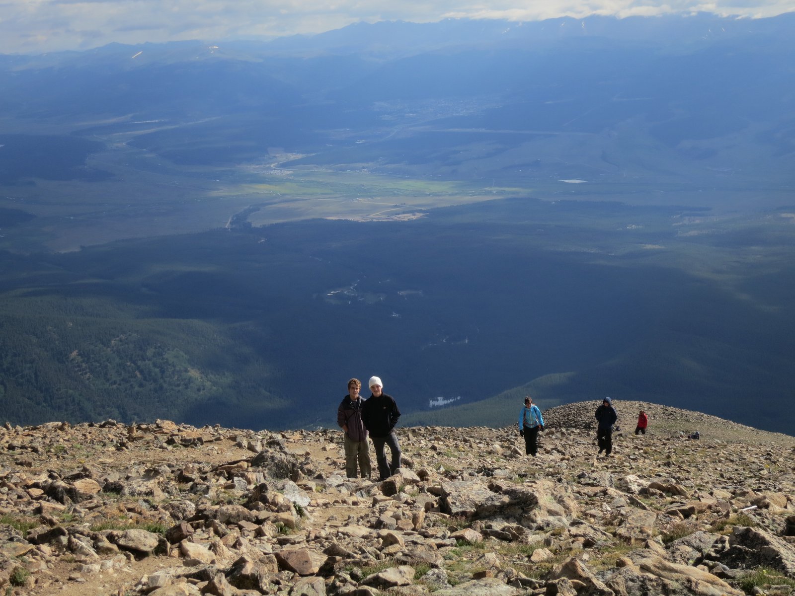
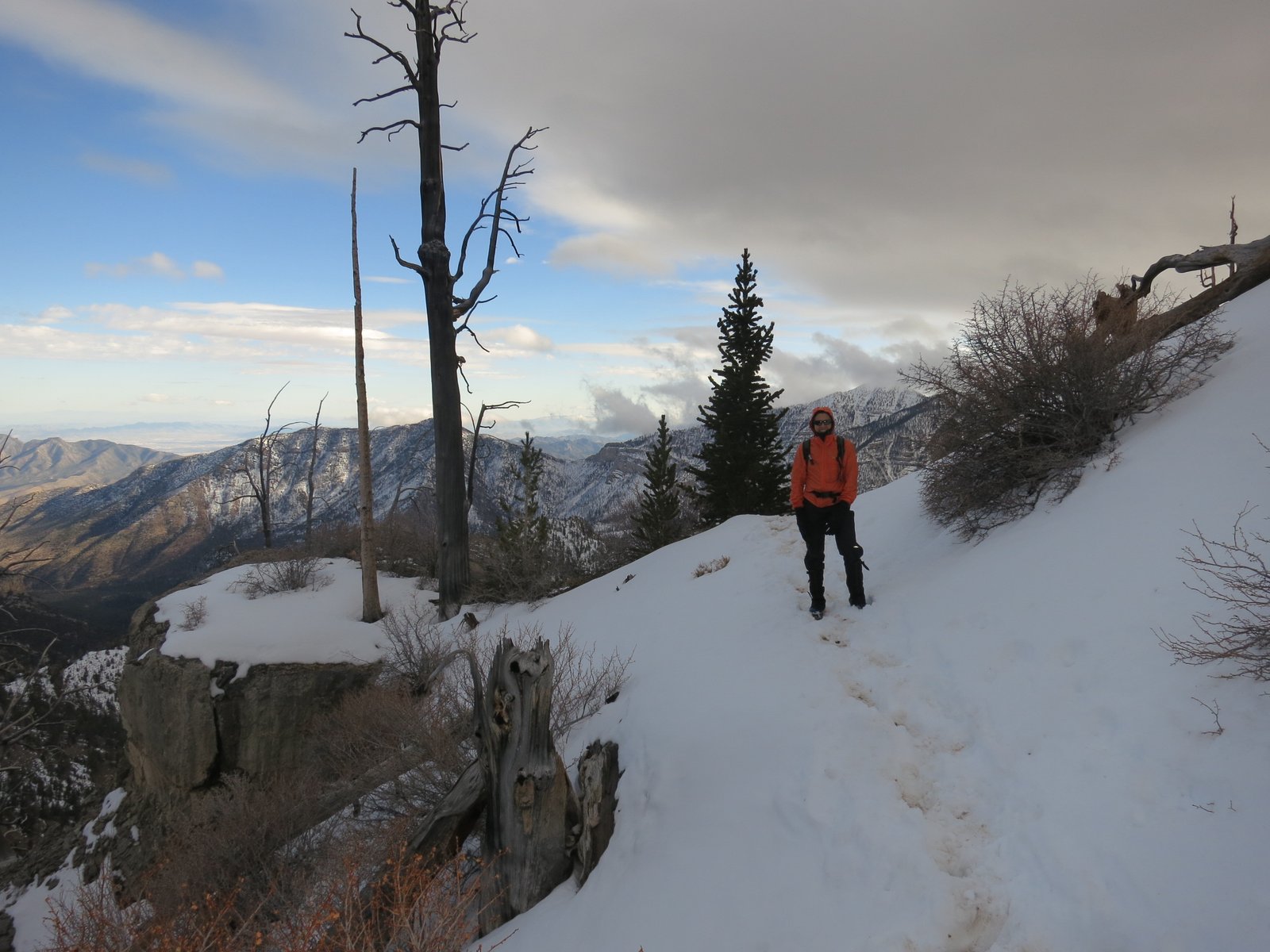
We finally hit the overlook that was our turn-around point for us last year.  Unfortunately, it seemed to be the turn-around point for everyone that had attempted the peak in the last few weeks.  From here on, we’d need to not only break tracks in the snow, but also find the trail.

1IMG_1646

At 2pm, we were still 2 miles short of the summit and in every increasing snow.  We made the call to turn back since going down would be troublesome in the melting snow and ice.

1IMG_1637

You can see the large storm front moving in around 3pm.

1IMG_1650

1Photo Feb 07, 1 22 28 PM

We ended up getting back to the car in the dark at 5:45pm.  Our decent was slowed by soft snow and mud as the sun shine during the day had turned the trail sloppy.  It also started to snow which turned to hail, and eventually to rain.  When I loaded it in Strava, the route we hiked was 18.1 miles with 5.376 feet of climb.

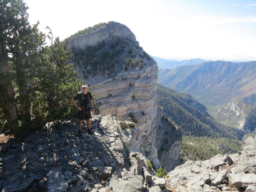
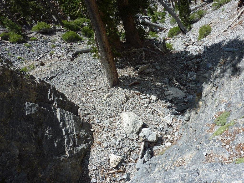
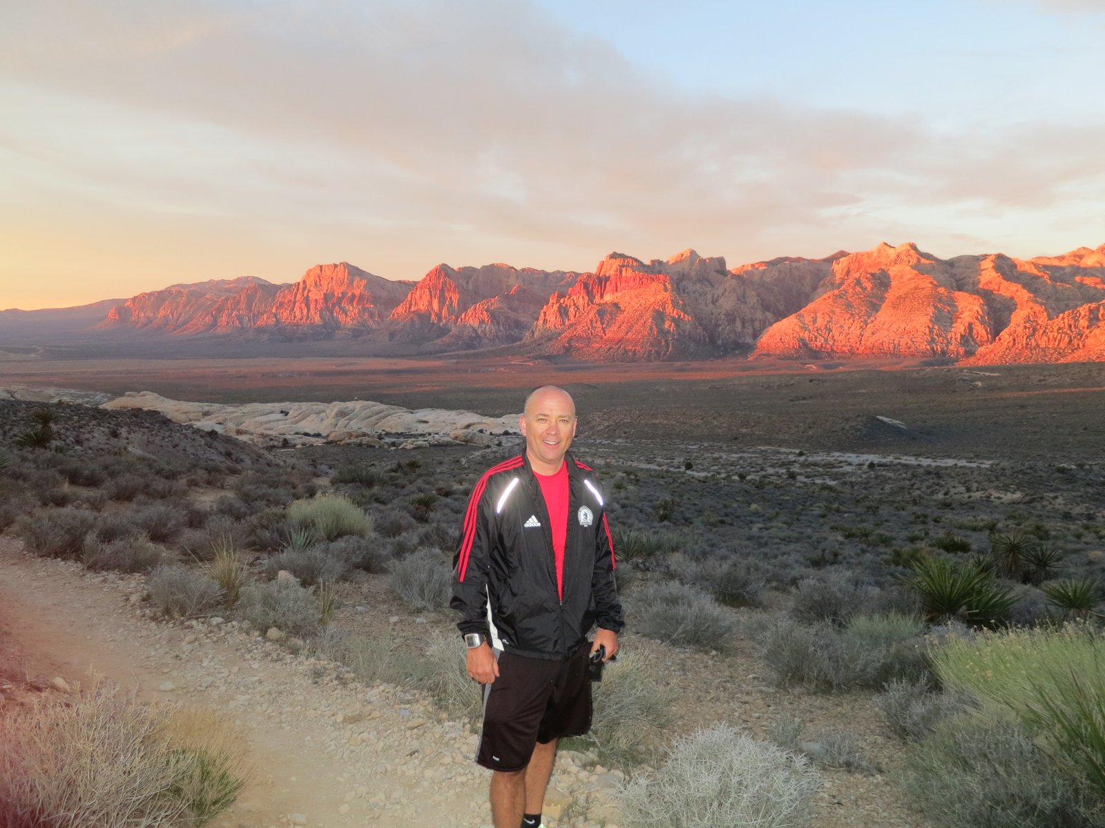
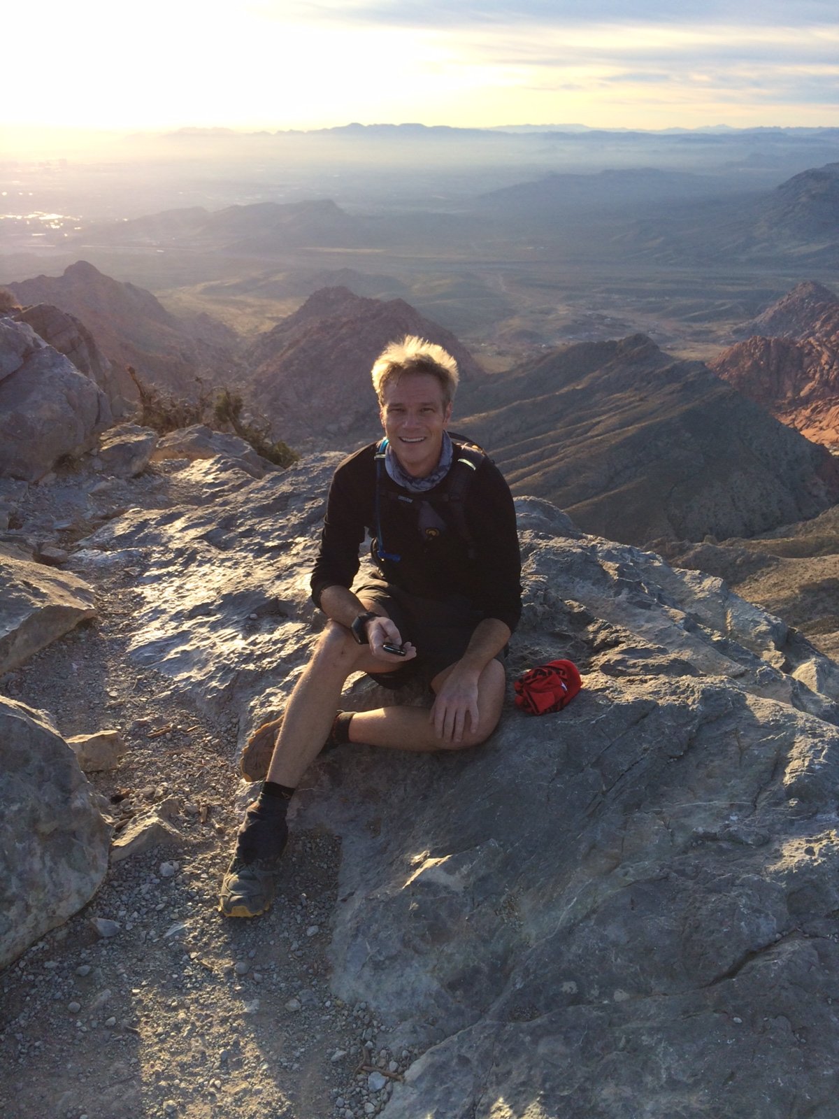
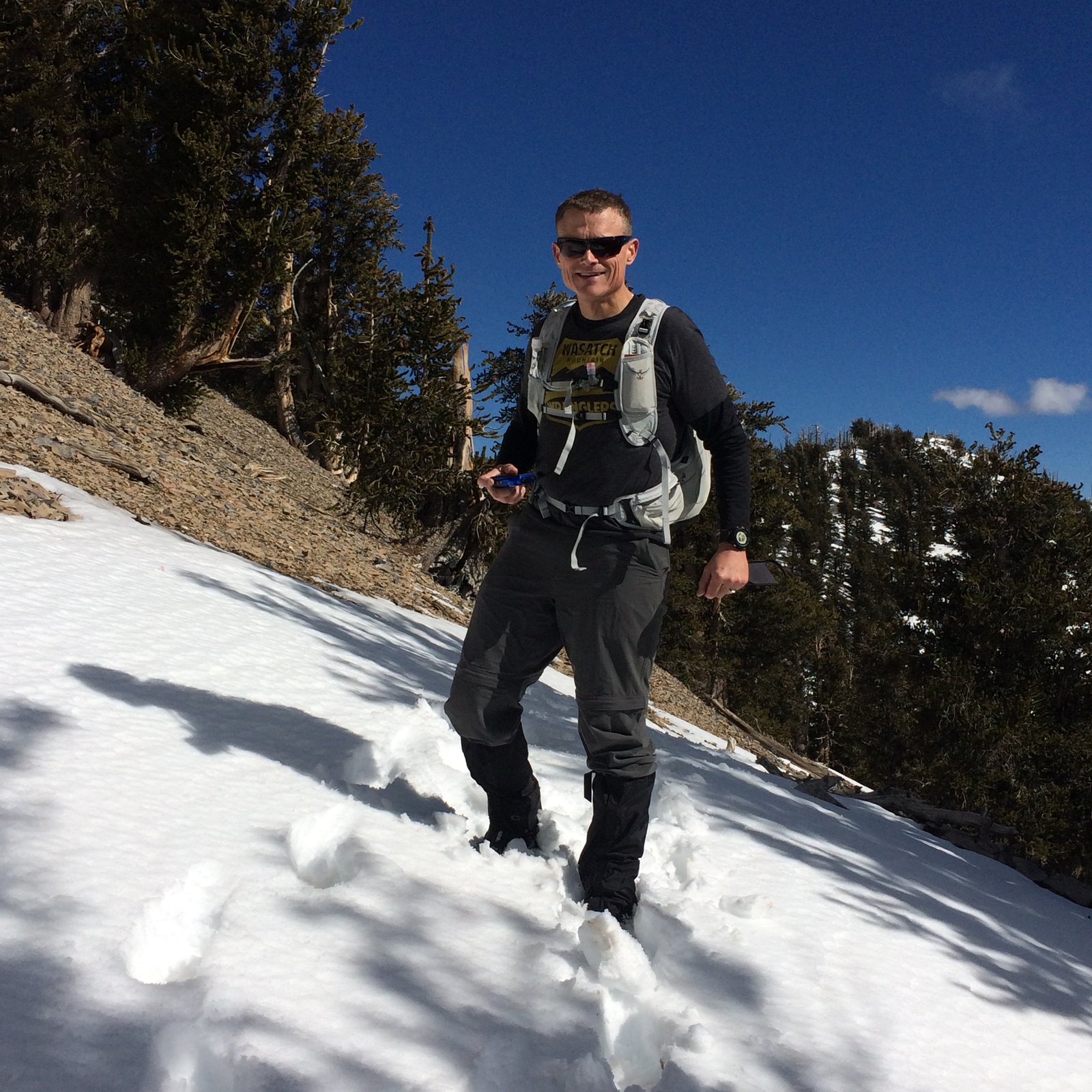
We had a huge dinner once we got back, gambled a little, and put our tired bodies to bed really early.  I got up early and headed off to Red Rock Canyon for scramble up Turtlehead Peak.  The weather was beautiful, actually warm.  The trail was in good shape, but has been re-routed to the West slightly so it took a little work to find it.  I ended up getting to the top in 52 minutes, 3 minutes slower than last year.

IMG_1656

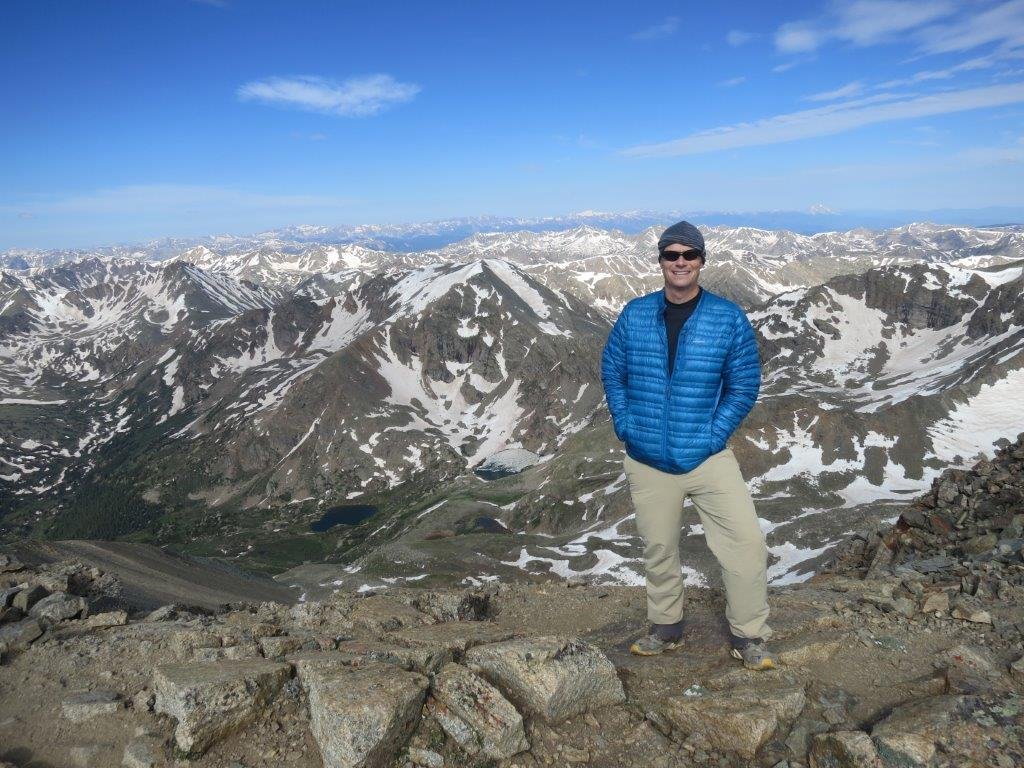
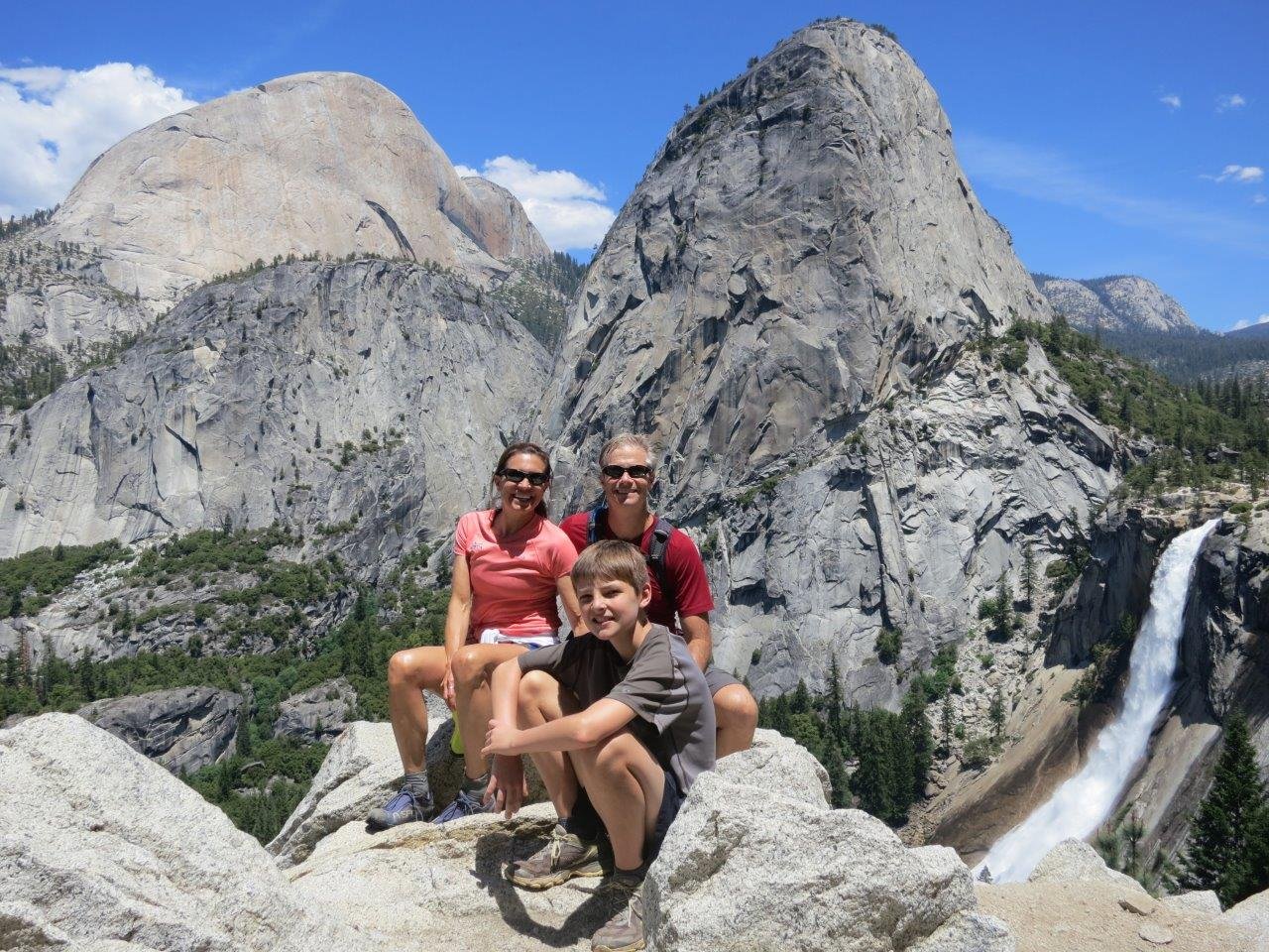
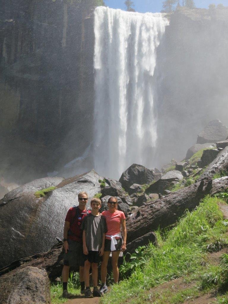
Here are all the pictures

Response code is 404

Big Bend with the Boy Scouts

This weekend, 57 scouts and parents from Troop 990 drove to Big Bend National Park for a weekend of backpacking.   Everything was wonderful, except for the 8 hour drive to get there.  Our destination was Chisos Basin Campground at the base of the Chisos Mountains.  People left Austin at varying in times so the arrival times varied from mid afternoon to the middle of the night on Friday.   On Saturday morning, we divided into 4 groups based on experience and speed.  Due to the size of our group, our campsites were spread over a couple miles of trails.  It’s a beautiful place.

DSC_0095

DSC_0082

I hiked with the group that was camping the farthest out on the rim of the mountains and when they got there, I circled around and met Preston’s group who had hiked our to the rim and doubled back to their campsite which was at the bottom of Emory Peak.  The peak is the tallest in the park at 7,825 ft.  This is a picture of me after I left the far group.  The view behind me is looking south and the land you see extends across the Rio Grande into Mexico.

IMG_1599


DSC_0064

Preston hiked with a group of his friends and it looks like they had a great time

DSC_0090

DSC_0056

Most of the people intended to climb Emory Peak on Sunday.  I encouraged my group to do an early ascent so we could enjoy the sunrise from the summit.   Initially, we had very few takers to get up at 4:55am, but when morning came, all but a few packed up and left in the dark.   The pictures below are from 20 ft below the actual summit – the summit is so narrow, it wasn’t possible or safe to have all of us on it at a time.

IMG_1611 cropped

Beautiful view on the sun breaking the horizon

IMG_1615

The mileage and elevation varied by group, but the full circuit of the mountains is about 20 miles and 3,500 ft of climbing.

Capture

All my remaining pictures are below and a really cool video done by one of the other dads.

IMG_1587.JPG IMG_1593.JPG IMG_1595.JPG IMG_1596.JPG IMG_1602.JPG IMG_1603.JPG IMG_1606.JPG IMG_1607.JPG IMG_1613.JPG IMG_1614.JPG IMG_1588.JPG IMG_1590.JPG IMG_1594.JPG IMG_1605.JPG

Colorado Trail Sections 10 and 11

Last week, some members of troop 990 and their parents went to Colorado for a backpacking trip on the Colorado Trail. The trail is almost 500 miles long and connects Durango to Denver. It travels through some of the most spectacular parts of the Rockies and is challenging due to all the elevation. Each year many hikers attempt to walk the entire length and we had the opportunity to meet many of them. Pictured below is one such hiker, “Daddy Big Stick”, who we met early the first day and continued to see through-out the hike.

CO_Trai IMG_1077

Our trip started with spending a couple nights in Buena Vista, CO. Our trip leader, Rob, had done a great job filling our starting days with fun things that included a Frisbee golf round and rafting on the Arkansas River. Even late in the summer, the snow melt was still pushing the river to Class 3 Rapids so we all had a blast navigating the icy waters.

RRF_4421 RRF_4420

On Monday morning, the whole crew started their 35 mile Colorado Trail hike at Clear Creek Road. Our packs weighed anywhere from 20 to 50lbs depending on how much food, luxury items, etc… were packed. Our goal that day was to hike 9 miles to Twin Lakes and camp on the beach. The day was long and filled with uphill’s, but all the scouts and parents did well and we made it to beach camp with few problems. Once at camp, we set up our tents, filtered water, and started dinner. Unfortunately, the weather didn’t hold and most of the scouts ate dinner in full rain gear or in their tents.

 IMG_1075 Jim_Preston_Ellensphone1  IMG_1081  IMG_1079

The following morning, we hiked 10 miles to the trailhead of Mt Elbert. Mt. Elbert is the 2nd highest peak in the continental US at 14,433ft. The approach is close to 5 miles and climbs about 4,000ft. The unfortunate thing is the last few miles are very, very steep and the mountain has 2 false summits. The scouts split into two groups for summit bids and after a little struggle and a lot of hard work, all the scouts and parents made it to the summit. Daddy Big Stick was on the summit enjoying the view. He told us that he was planning on hitching into Leadville for a bit of restocking so we bid farewell and wished him luck on completing his last 100 miles of the trail. We had planned to get back to camp, have lunch, pack up, and hike to the Mt. Massive Trailhead; however, everyone was too winded to hike so we took a zero day.

IMG_1086 IMG_1087 IMG_1090 IMG_1088

The next day, only a few scouts and parents wanted to attempt to summit Mt. Massive (the 3rd highest peak in the continental US). Mt Massive is a very impressive mountain with multiple summits rising over 14,000ft. The approach travels through a beautiful meadow at 12,000ft which rises to a grass filled bowl that is surrounded by all the summits. The entire group packed up and backpacked the 5 miles to the trailhead. A few of us took off for the summit, while the rest decided to spend a relaxing day in the high meadow. 4 scouts and 3 adults attempted the summit and 100% of them made it. It had looked as if thunderstorms would turn us around, but the sky above the mountain stayed blue as the storms passed to the north and south. It was a long day for all, with a majority of the teams making it back to the trailhead late in the afternoon only to have to hike 3 more miles to the campsite. For those that summited, it was almost 17 miles.

IMG_1109 IMG_1102

The following morning we slowly packed up and marched the remaining 8 miles to the exit point. After 5 days with packs, we made great time and had limited stops. We walked into the parking lot, only to find Daddy Big Stick walking up to rejoin the trail. He had spent the night in Leadville camped behind the pizza restaurant, as every place was full since the Leadville 100 Mountain bike race was the following day. We loaded him up on food and wished him a final farewell.

IMG_1117

With the detours up the peaks, the entire troop did 50+ miles with those that summited both peaks hitting 62 miles. The graph below is from my GPS watch that shows the entire route and elevation. It’s a little more than the 62 miles since I made 2 trips up Mt Elbert. The entire trip was a wonderful success and a huge thanks to Rob for working out every detail.

map1

profile


A climb in Vegas

My friend, Chris Walton, and I went to Vegas this weekend.  Our goal was to get up really early on Friday morning and climb the North loop trail of Mt Charleston.   The round trip is 20 miles and you start around 8200ft and climb 4000ft to the summit over 12000ft.

map

Unfortunately, our plan did not go as we intended.  The trail heads West around Mummy Mountain and up it’s West side to line up for the approach on Charleston.  At the first intersection of the trail we went right rather than left.  On our way back we took a picture of where we went wrong (below).  There is a very visible trail to the right but the North Loop trail actually goes left over the hump.  There is a sign, but unfortunately it’s on the ground mixed in with some dead branches.  When we saw where we went wrong, we felt better that we weren’t complete idiots, but we won’t make that mistake again.

1P1030475   1P1030448

The trail we took started climbing steeply up the mountain.  We gained about 1000ft in a very short period of time.  Once we reached the top, we knew that we were off track but were looking for ways to rejoin the trail without going backwards.  We wandered around on the ridge for a while looking for a spot to get down until we found a group of guys that told us how to get to the Mummy Mountain summit and the route from there to the Charleston summit.

1IMG_1058    1P1030444

The route they told us was to climb the 2nd avalanche chute where we could scrabble to the peak.  We saw the guys following us once we reached the top of the chute and we let them know that their instructions were incorrect since we weren’t on the summit and there was no easy way down.  We were at a notch in the top of the ridge with sheer 50ft cliffs on both sides and a very, very steep chute off the other side (picture below – notch is circled).

1P1030481   1IMG_1063

Traversing a chute can be fun, but it’s also really dangerous since you don’t know how steep it will get and you don’t know where the chute will dead end at too steep of cliff to go over.  This would have caused us to climb back up and over the ridge which wouldn’t be a lot of fun.  The chute was steep but it was full of scree so we could “surf” on the way down.  All was going well and we’d dropped about 800ft to 10500ft when we hit a wall about 25ft tall that required some down climbing.

1P1030454

The picture above is what it looked like from the top of the climb.  Walton went first and nimbly shuffled down the face.  When climbing with ropes, I’m completely comfortable doing sketchy thing, but dropping 25ft on a sheer face without any safety gear had me unnerved.  Walton patiently talked me through the maneuver and I made it down unscathed.  After the wall, we continued to drop down the chute with only a few detours to move around ledges, until we finally reached the trail.  We decided that we’d had enough and started heading back down the trail we should have been on in the first place.  In a few minutes, we came to trail junction which is the 4 mile mark back to the trailhead.  Walton is pointing to the chute that we came down below- we dropped over 2000ft in that chute.  We pressed on and finally made it back to the road.  At the road we were met by a herd of wild horses that were using the road as their trail.

1P1030467  1P1030493

We haven’t downloaded our watches yet to get the actually mapped distances, but we think we climbed about 6000ft over 12 miles.  In total, we were out for 8 and half hours.  It was a good day, but we will be back soon to successfully summit via the North Trail.


A long weekend in Leadville, Colorado

Tracy and I are just coming back from a long weekend in Colorado. Leadville is an old mining town that is located over 10k feet in elevation. In the late 19th century, the town was booming with the mines and it was in contention with Denver over who would be the state capitol.

In most years, our friend Eddie leases a house in downtown Leadville. This year, he leased it for the month of July. We arrived very late on Thursday night to Eddie’s rental on 2nd street. 2nd street used to be State street which had 64 saloons and was considered the “red-light” district during the mining rush. Now Eddie has a 3 bedroom rental from the turn of the century.

As always, Eddie was incredibility hospitable – food already bought, towels laid out, etc… basically all the comforts of home. We slept in the following day and had a decent night’s sleep considering we just came from sea level to over 10k feet elevation. After some coffee and treats, we headed up a dirt road to the trail head to Mt. Sherman. The mountain is basically a pile of scree and rock, but towers to 14,035 feet.   The climb is about 2000 feet, but being less than 24 hours acclimatized, it was tough going. Below are a few pictures of us on Mt Sherman.

IMG_1006  IMG_1018

The following morning, I got up with the birds and was at Mt. Elbert’s trailhead by 5:30am. My goal for the day was to summit Mt. Massive and then meet Tracy to summit Mt. Elbert which is about 6 miles away. The round trip to Mt. Massive to Mt. Elbert’s trailhead is about 14 miles with over 4k feet of climb.   My hike to the approach of Mt. Massive started fine. I made the cut-off to the summit trail in one hour, which was right on time. I climbed through the trees to tree line (about 12k feet) in the following hour and started the long approach which is through a col that is covered by summer grass and flowers. I felt great and there was minimal snow so I was able to reach the summit by 9am which was only 15 minutes longer than I thought.

After 10 min or so to eat and relax, I started running down. I came across 3 guys and one of them was wearing a Tejas Trails shirt which is one of the racing companies we run with (I had a Tejas shirt on also). Turns out it was Brandon who is in a whole different speed league than I am. He said they were also heading to Elbert afterwards so I was certain they would pass me on the way. The decent was fairly decent, I ran a lot of it but had calf cramps so I stopped and stretched often. I made it back to the car at 11:15am to find a note from Tracy saying she started up at 10:10am – I’d never catch her when she was fresh and an hour ahead. After a water refills, eating something, and a bio break, I was on the Elbert trail by 11:30am.

The trail was relatively flat for the first mile, which worried me since Elbert is higher than Massive (by less than 10ft) but a couple miles shorter. After mile 1, I hit the steepness I was worried about. It was slow going, one foot in front of the other. Once I broke tree line (12k ft), I could see the false summit (real summit was ½ mile past), which was depressing since I could also see the line of people coming and going and it looked a long ways off. I pressed on, one step after another.   I would stop every five minutes or so for a breather and try and stay hydrated.   After what seemed eternity, I crested the false summit to only see the ½ mile to go also had 500 more feet of elevation gain. My spirits were lifted when my phone rang to talk to Tracy who had been on the summit for 1.5 hours already. I pushed on and 20 minutes later, I collapsed behind some rocks to enjoy the view of the continental divide.

We hung out on top for 20 min or so.  Just as we were leaving Brandon and his buddy reached the summit.  We “mall walked” and ran most of the way down and made it down at 5pm.  All together, I did almost 25 miles and 9000 feet of climbing – time for a drink.   It was an incredible weekend and we can’t thank Eddie enough for inviting us.

IMG_1036  IMG_1048


Too much work, too little leisure

It’s been a while since I updated the blog – this “work” thing is getting in the way of me being a true “man of leisure”.  Things have been busy around the house.  We decided to have all the windows and external doors replaced which has been an ordeal.  It’s taken over 6 weeks (was a 2 week schedule) and has been a pain with all the dust and construction inside the house.  Not all of the delay was the contractors issue, we’ve gotten a ton of rain and the house has settled so that nothing is square.  I’ll post some pictures when everything is finished.


Over the past few months, Preston and I have run a few races close to home.  We have done a half marathon and couple of 30k/10k’s, but this week, we are back in northern California for the 25th running of the “Shadow of the Giants”.  The bigger news is that Tracy is with us and will attempt her first trail race since she installed “Jamie Summer’s knee”.


Yesterday we went to Yosemite for a hike.  We went back to the start of the John Muir trail at Happy Isles and the three of us hiked to Nevada Falls via the mist trail.  Round trip, we walked almost 9 miles and gained about 2300 feet in altitude.  It was an absolute beautiful day and everyone felt great.


Today we are going to find an easy hike just to stay loose.  Tomorrow at 7am, the race starts.  I am doing the 50k and hope to come in close to 6 hours.  Preston and Tracy and doing the 20k.  It’s a great course and the weather is supposed to be incredible.

IMG_0969

IMG_0953

A day in Vegas

Tracy came in last night and we had a fantastic dinner (our Valentine’s dinner to miss the madness tonight).  We played some cards, won a little, and hit the sack early.

This morning we got up and drove to Mt Charleston.  We wanted to hike the south loop to the summit, but it was closed.  We spoke to the ranger and was directed to try the north loop.  We started at Trail Canyon trailhead and hiked 6 miles to the ridge right before the summit.  It was getting late and the snow conditions weren’t great so we turned back 1400 below the summit (10,500 ft).  We made it back to the car as darkness set in.  A few pics below.

IMG_0917

IMG_0926

IMG_0912

Back to work, but a little fun

Today is Day 9 after going back to work.  My feelings are mixed; I’m excited to be back in the mix and in a role that can make a huge difference for the company, but I do miss my afternoon naps 🙂  This week was a fantastic week since we are in Vegas for our annual field readiness seminar.  It was the perfect time and place to reconnect with teammates and bounce ideas off of them.  A lot of new leaders really brought their passion and drove an incredible tone for the week.  Very exciting!  As with all trips to Vegas, I had to get out and enjoy the wonderful environment beyond the strip so I rented a car and gathered some friends for an early morning assault on Turtlehead peak.

Me, Nick, Pranshu, Erik, and Mark prior to sunrise on the trail

IMG_0870

No, Mark is not photoshopped in – that is what it looks like 30 min from the strip.

IMG_0871

Jim on the summit

jim_sunrise

2.5 miles and 2000 feet later we are on the summit.

IMG_0874

summit


The crew coming down with the peak rising behind them.

IMG_0875

One last picture of the incredible canyon – for the Canadians, note Erik and my hats.

IMG_0876

Tracy comes in later tonight and we are going to enjoy and early Valentines Day dinner and try our Mt Charleston tomorrow.

Mogollon Monster mid-race update (guest post by Tracy)

Here’s an update during some down-time (for me), from Dimi’s Espresso in the heart of Payson, where Jim and I have become “regulars”:

Jim is doing great so far.  He hit mile 27.1 at around 1:30 pm Pacific time, which was about 30 minutes ahead of his anticipated schedule, and he was looking and feeling really good.  He predicted himself to be running at the back of the pack, but was holding steady in the middle of the group, and looking a lot less wiped out than many of the other runners I saw coming in.

He got up at 3:30 this morning (I got an extra 45 minutes’ sleep), and we were on the road by 4:40 heading to the race start at the Pine trailhead.  I’m pretty sure Jim set the record for the largest and most visible “drop-bag” (i.e., a lime-green PVC storage vat), but he organized it so that he would need only one set of supplies, which would be taken to the aid-station at the Washington Park trailhead.  The runners will pass through that aid station three times during the race–at miles 27, 51, and 86, and of course Jim prepared separate bags designated for each stop:  food, gel, Gatorade, water, flashlights, batteries, socks, clothes…a masterpiece of ultra-run organization.

It was cold—probably in the low 40s—at the start, but warmed up quickly, and Jim was pretty sweaty when I met him at mile 27.  However, he was still well stocked with his electrolyte cocktail and other fuel, and even was able to help out another guy who had run out of water a few miles before the aid station by giving him his spare bottle.  He’s doing a good job of keeping himself out of a deficit situation, and that (plus the good karma) should help stave off cramps and other misery later in the race.

I will see him at Washington Park again at mile 51, and will pace him through a tricky section of the trail to the Hell’s Gate aid station at mile 56, after which I will turn around and hike back to Washington Park and Jim will head up to the rim.  He will be on his own for a few miles, and then will be picked up in the wee hours—somewhere around mile 60 or so—by Dell bud and Arizona “local” Richard Tallman.  Richard will be pacing Jim all the way up, across, and over the rim to the Houston Brothers aid station at mile 79, and then will have another three-mile hike to get back to his car (famous last words by Tallman:  “It’s gonna be fun.”)

Jim will then continue down to Washington Park, where I will meet him again at mile 86, but I will try to log another update tonight when I get back to Payson after pacing Jim to Hell’s Gate.

Tracy is here

Today, I drove to Phoenix to pick up Tracy.   Her flight came in early enough that we were able to drive up to Washington Park for a short hike .  Washington Park is a central spot on the race; runners pass through the park at miles 27, 51, and 86.   Since Tracy will be pacing me in the dark at 51 – 55 miles, she wanted to get a feel for the trail.  Also, when I arrive in the morning again at the 86 mile mark, she will walk with me the remaining 20 miles to the finish.  I’m thankful she will be there since I know how delirious I will be after going straight through for 36 hours.

IMG_0731

IMG_0734