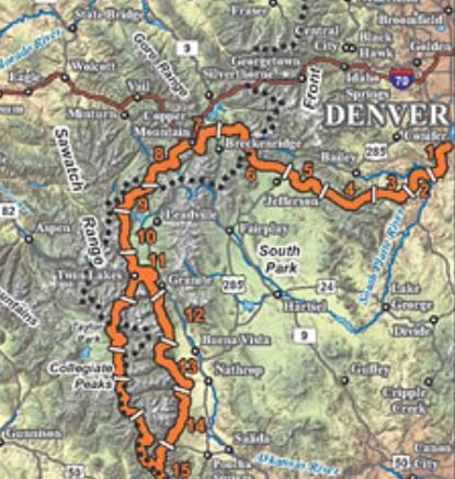
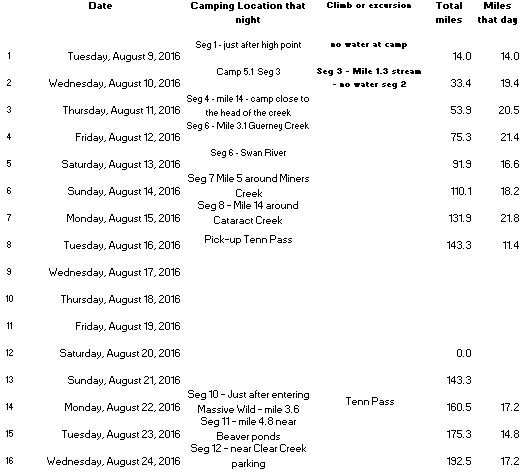
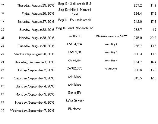
I downloaded my watch and combined the segments. I linked to the Strava information below.
WP Strava ERROR 401 Unauthorized - See full error by adding
define( 'WPSTRAVA_DEBUG', true );
to wp-config.php
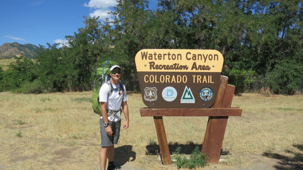
My flight landed in Denver on Tuesday before 8am. I was quickly able to get my bag and catch the train from the airport to downtown. My friend, Heidi, met me at Union Station. After breakfast and a stop at REI, she dropped me at the trailhead. (Thank you Heidi)

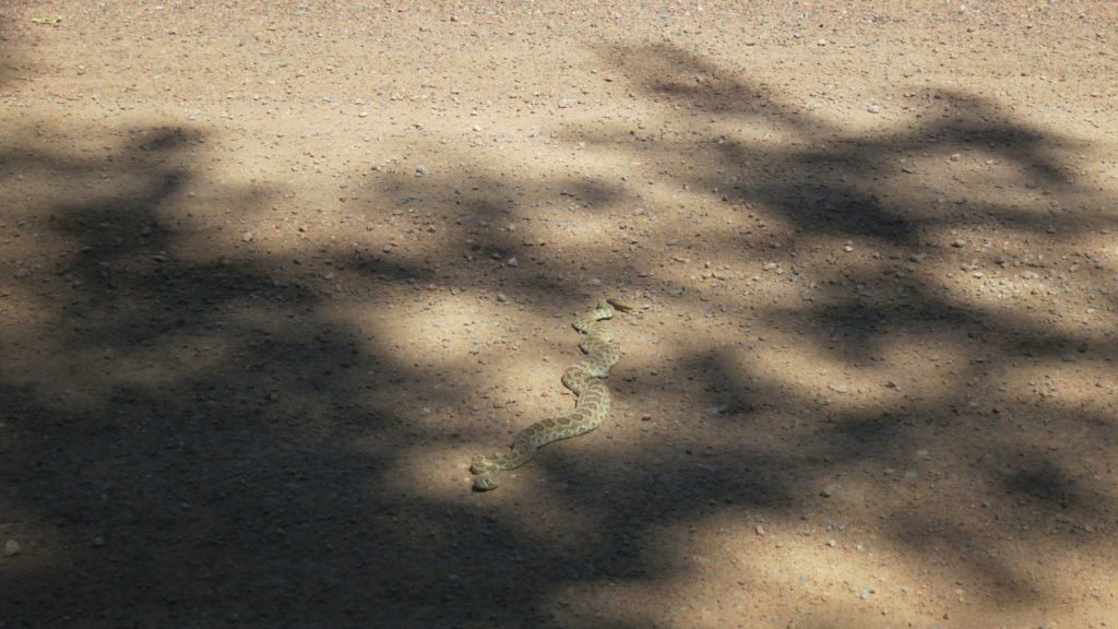
I was on the trail by 11am, but with the forecast in the 90’s, it was already hot. The first 6 miles of the trail follows the Platt River through a canyon. There were many bikers and runners and even this fellow sunning himself. This was the first of two rattle snakes I’d see that day.

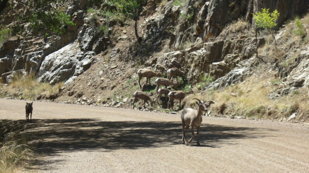
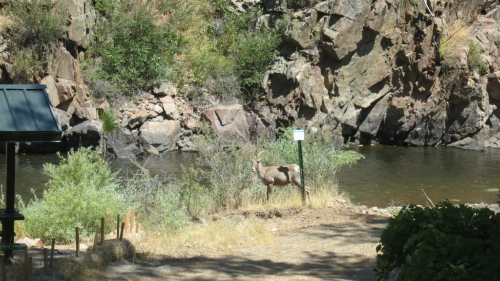
I also shared the trail with some Bighorn Sheep. I had read that they were in the canyon, but didn’t expect them to be blocking the road. There were at least 30 of them and they didn’t care about me.


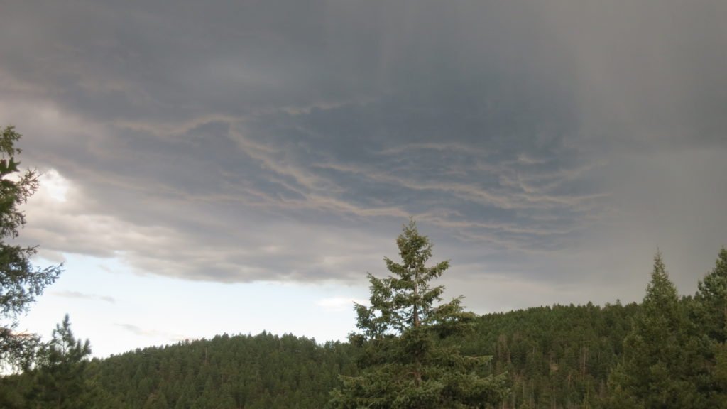
Shortly after the dam, the trail turned into single track and started up a hill. I climbed for about an hour until I reached the ridge and then took a break at the creek. I was joined by Mike from Wisconsin, who was a hiker just starting off. He also recently retired and thought this would be a rewarding challenge. From the looks of him, I think he was second guessing his decision to come. He was going to call it quits there (mile 8), but I wanted to get to mile 13 which was over the next hill. Unfortunately, my late start put me in the middle of some afternoon thunderstorms. When the thunder started, I stopped at mile 11 and put up my tent. Just as I got everything inside, the skies opened up.

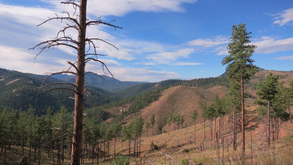
Since I was 2 miles short of my goal, I woke up at 4:30 to make sure I was hiking when the sun came up. I covered the first 5 miles very quickly since most of it was downhill. I stopped and had a bit to eat and filled all my water containers since there was no water for the next 11 miles. Also, this section had a fire 20 years ago so there was limited shade along the way. This sectioned sucked…. 1200ft of climb, dry, and very hot.

I finally made it across and refilled my water at the volunteer fire department. I felt better from the water and also I had cell service so I got to talk to Tracy. I still had 7 miles to go to get to my camp spot. Once again, the thunder started so I stopped 2 miles from my intention. The rain started about an hour after I got set-up.
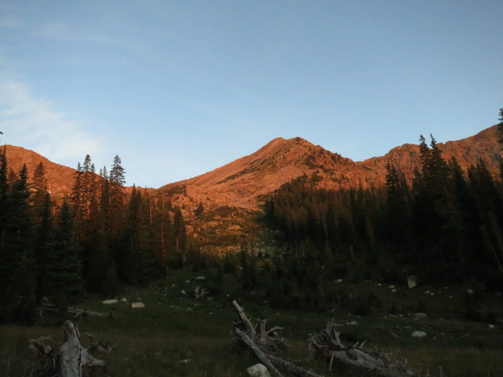
Day 3 started even earlier. I was on the trail about 30 minutes before sunrise. I had a lot of climbing to do and 21 miles. The trail mostly stayed in the woods so it was nice and cool.

Along the way, I met Abolola (sp). He hiked the Appalachian Trail a couple of years ago and got the name from the book, “Lost in Shangri La”, which coincidentally I have read. It’s about a WW2 plane that crashed in an isolated island interior. The natives had never seen a white person, but treated everyone with kindness. The name is of one of the native characters. It means fortunate one or something like that. It was fitting since the hiker is a Leukemia survivor, had a brain tumor removed, had a shoulder replacement, and a knee replacement. Really nice guy and he told me that the next couple days will have meteor showers.

I made great time and got to my final water stop (mile 18) about 3:30. The trail now followed a long meadow. The guidebook described it as long and unusually straight. After 3 miles, I found my spot. I was feeling stronger since the 21 miles also had 4300ft of climb. As I was sitting in my tent typing this, I listened to the thunder with the sun shining. I didn’t end up getting wet– mountain weather.
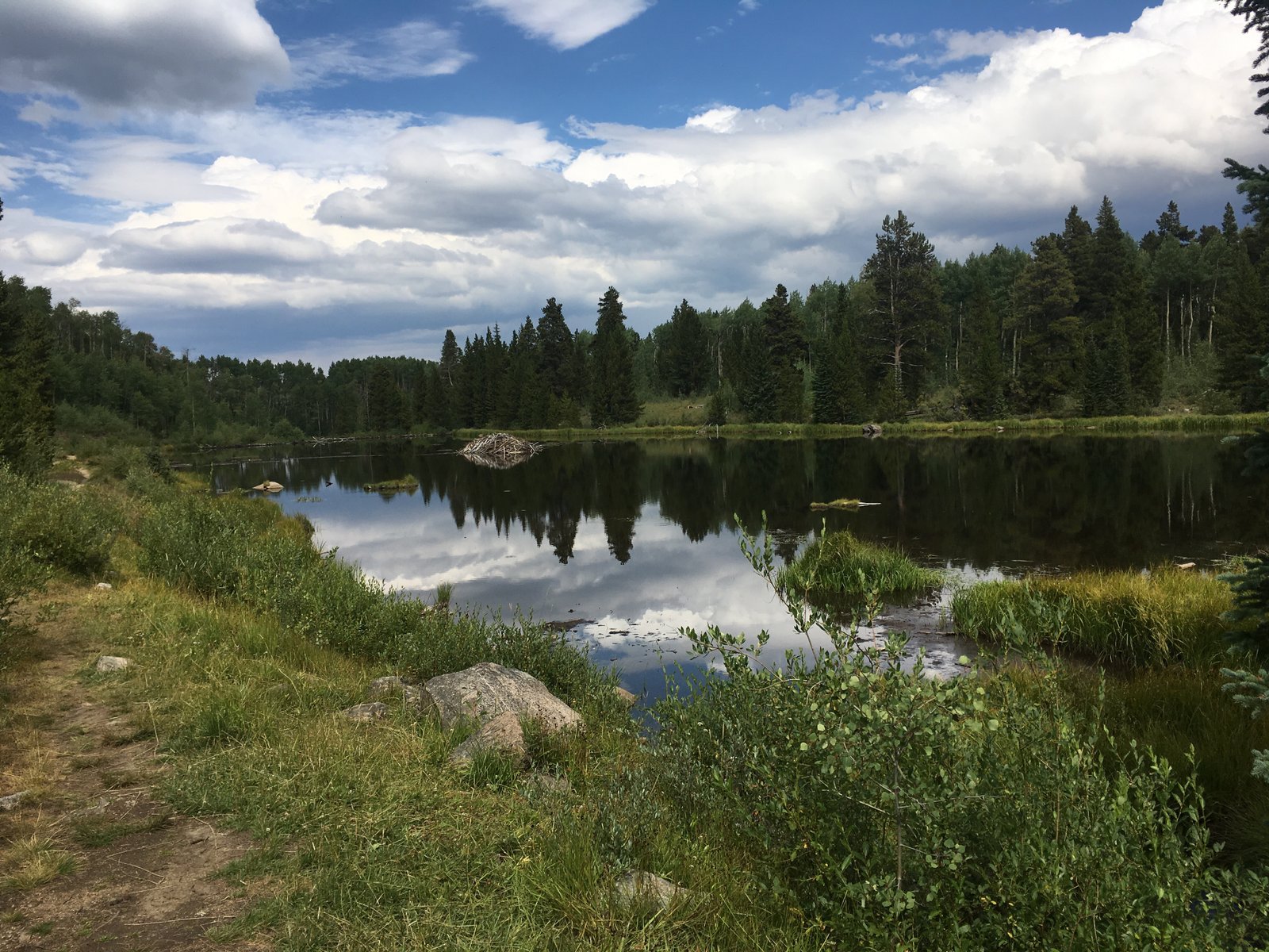
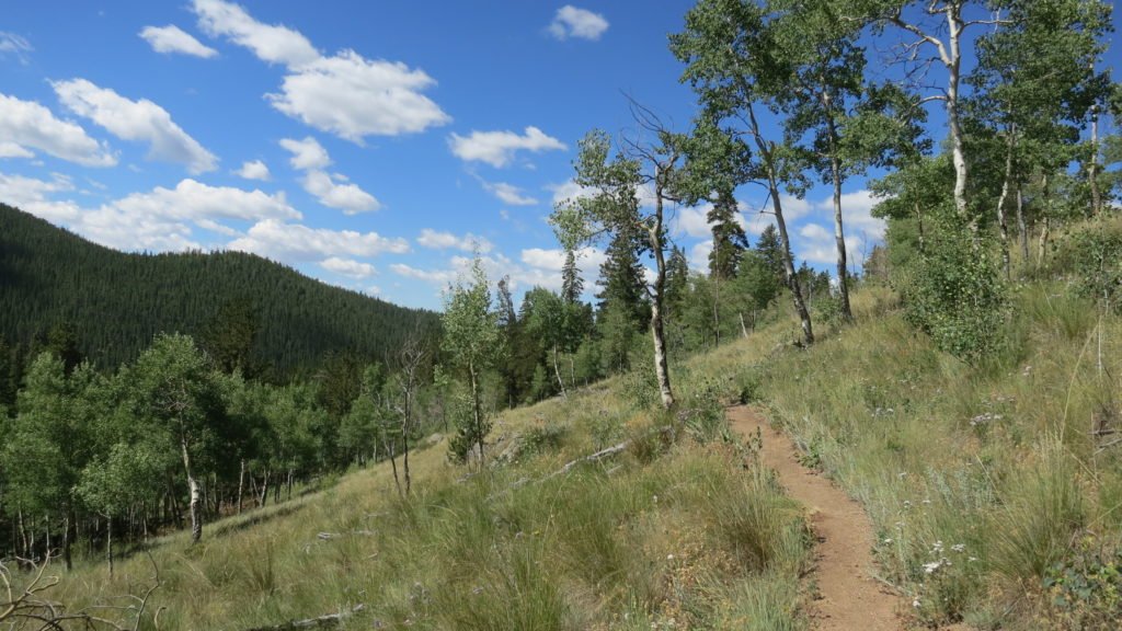
Day 4 was going to be long so I set my alarm at 4:20 again, however, when it went off my watch also said it was 34 degrees in my tent so I knew it was 10 less than that outside. I did a mountain snooze and reset it for an hour later. When the time came, it was still 34 degrees but dawn was offering a little light so I made coffee and started packing. I was on the trail by 6:45 with hat, gloves, and a pull-over. I had to hike out of the meadow to close to 11,000 ft and then make my way down the other side. Besides a nagging blister, the morning was uneventful. The other side of the meadow was a very pretty aspen forest that seemed to go forever.

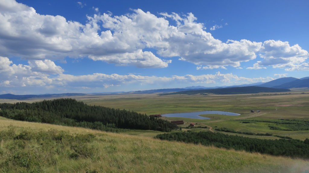
At noon, 13 miles in, I stopped to refill water and have lunch. I had dropped almost 1700ft and I knew that I had to climb 1000 of that back. I was tired, but the vistas were stunning. I finally made it to the trailhead at highway 285 and was dreading the last 3 miles since it had a big climb. A couple of mountain bikers took pity on me and gave me a PBR. Plus I had phone reception and Tracy is back so we got to talk. Things were brightening up. As I crested the hill, I could see the continental divide which I have to climb on day 5.

Just a steep downhill to my campsite after 23 miles and 3300ft of climbing. I was feeling real full of myself until this 60 year old guy passed me on a bike going up the hill.

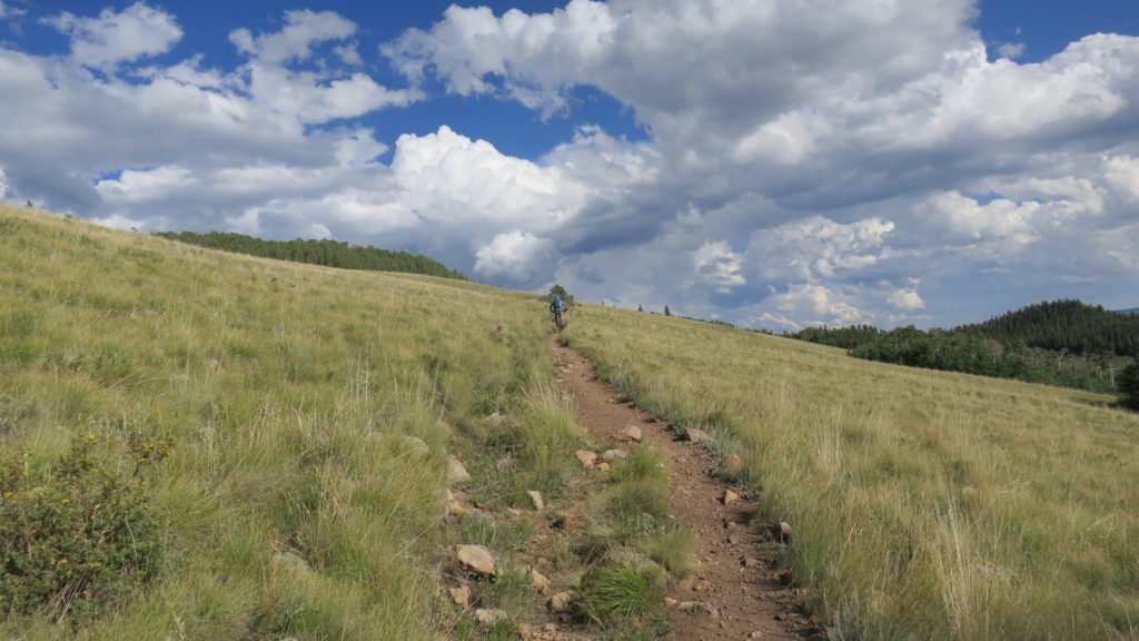
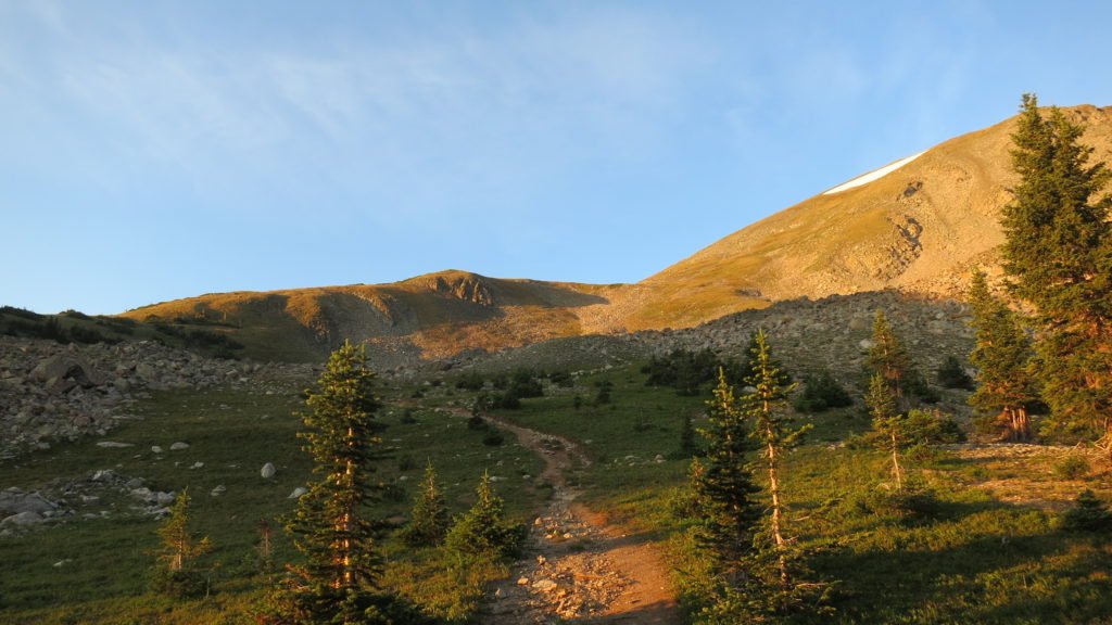
On day 5, I left camp at first light and started the long climb up to Georgia Pass. This pass is 11,900ft high and crosses the continental divide. The trail was a decent single track with a healthy incline and a lot of switchbacks. I was surprised at 7am with a biker passing me on the uphill. Then another and another. I forgot it was Saturday and there are some mountain bikers with mad skills in this area of Colorado. They were riding up the incline for 6 miles without ever taking their butt out of their seat. The ones coming back down were even crazier flying down the switchbacks. Besides a couple of tools, everyone was really courteous to the guy carrying the big backpack.

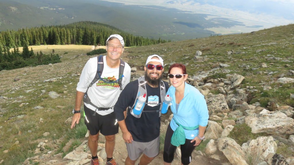
There were also a couple runners and I chatted with one. His name is Dan Pritchard and he is also doing Rabbit this year. He was heading to Leadville Thursday to pace his wife in the race. She’s shooting for the 24 hour buckle so the only time I’ll see him is at the bar. Coming down the other side of the pass was miserable. My blister was hurting, my pack was rubbing, and my feet hurt. It was a 6 mile decent until I got to a trailhead access point. Once again, when I was at my most miserable point, the beer fairy appeared. A couple of couples and their dogs were hiking up and wanted to hear all about the trail. We talked for a while and one of the guys had a cooler backpack and asked if I wanted a beer. Yes I did. They were even kind enough to pick up the bottle on their way back down so I didn’t have to carry it.

4 miles later I made it to where I wanted to camp but it was a public campground and every pick-up truck in Colorado was spending their Saturday night there. I ended up finding a spot by the creek that was a long ways from the parking lot so I know they wouldn’t want to haul all their stuff near me. The sound of the creek blocked all other noise and I finally got to take a bath and wash clothes.
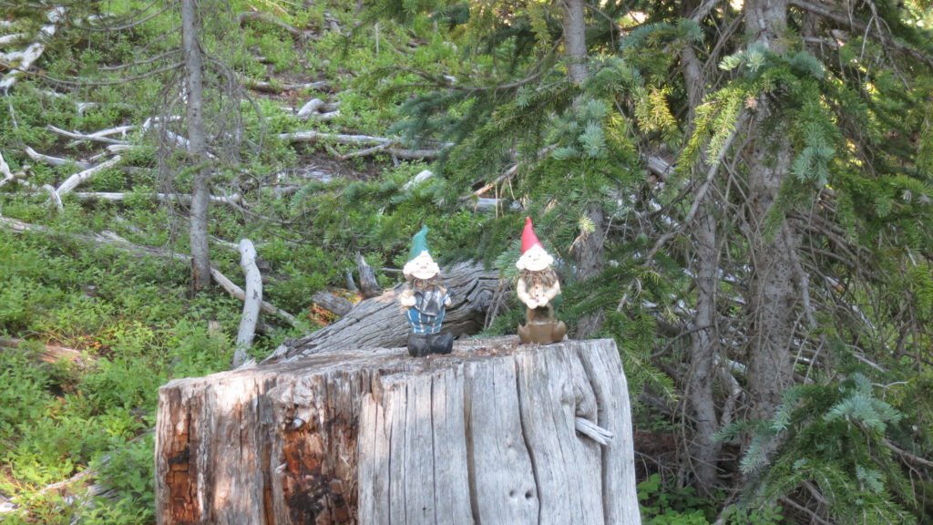
The next morning, day 6, I had a 1200ft climb to start the morning, but it was fairly easy. At the top someone had put this pair of gnomes to welcome you.

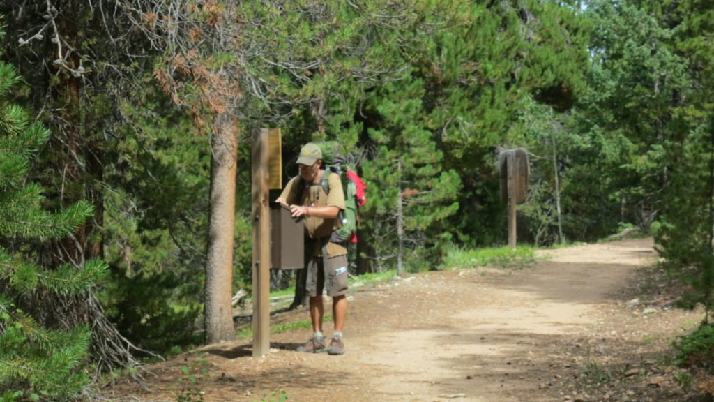
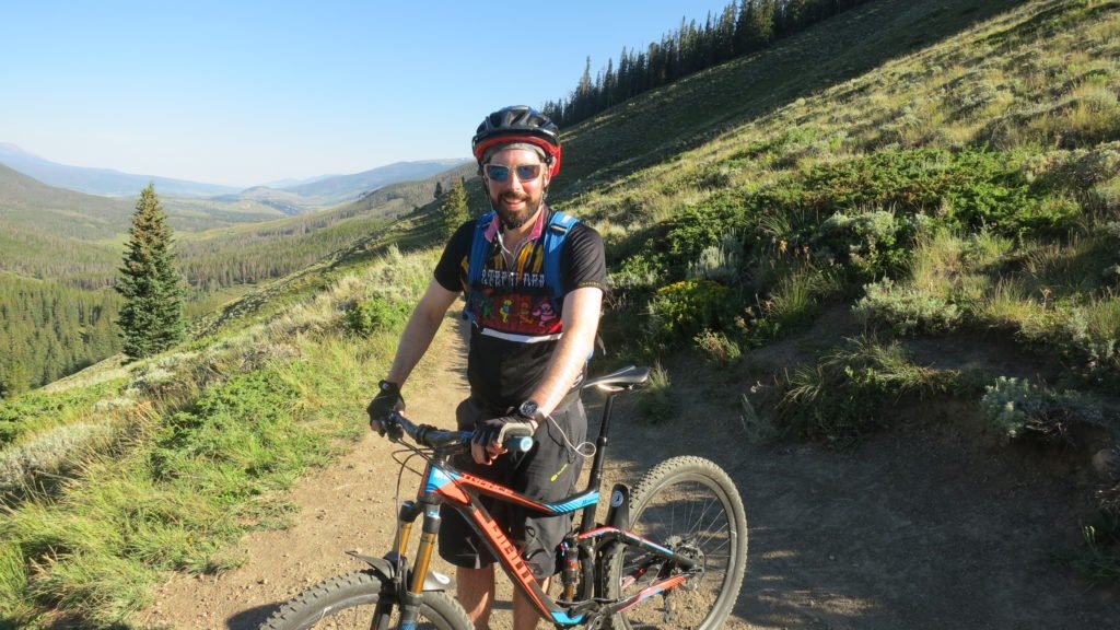
Once I crossed over the ridge, I’d be in sight of Breckenridge which also meant I’d have phone reception. I got to talk to Tracy, my mom, and Preston. I left a message for Deb. It was a big decent of 2000ft but the switchbacks were tame and I finally got my blister and backpack dialed in. It was Sunday so lots of mountain bikers again. This is Andy, spoke with him for a while. He was out early like me and doing a big loop. After a few hours, I started switchbacks right into Breckenridge.


After crossing highway 9, I walked the bike trail. I was surprised to see that Frisco, Breckenridge, and Dillion are all connected via the trails. Tons of people out riding and hiking – Tracy and I need to spend some time there. What goes down, must go up so I started my ascent. I needed to get as high as I could up the trail to give relief to the distance I needed to do the next day. The issue was that I needed to go over 3 passes in one day in order to meet my timetable. I wanted to get as high as I could so the first pass would be easy, but it’s really cold above tree line and I needed water. I ended up close to 11,000ft next to a creek; about as good as I could have done.
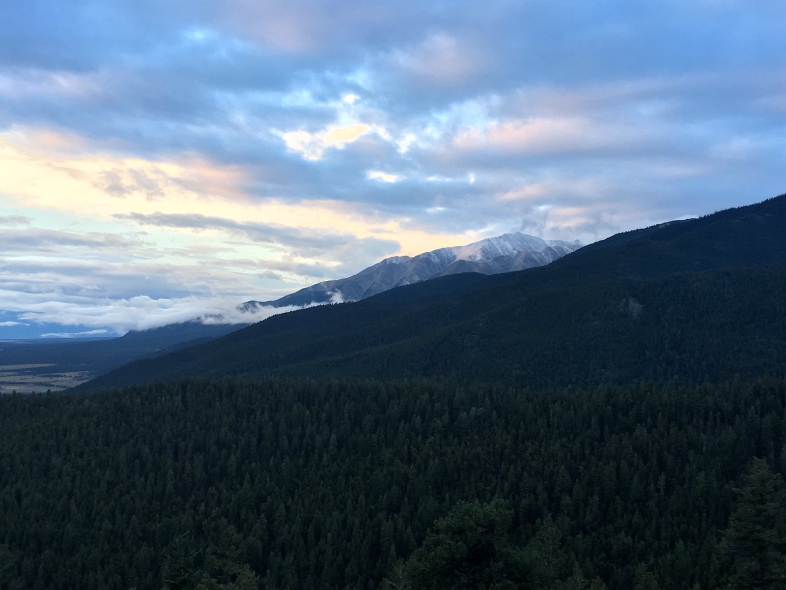
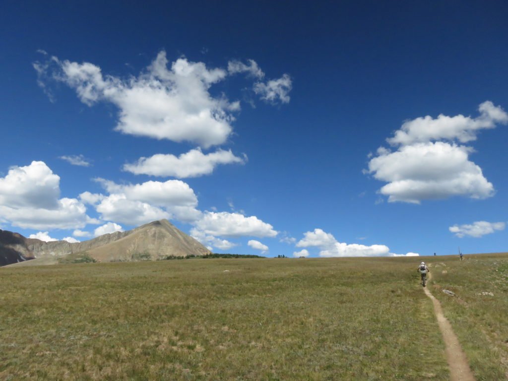
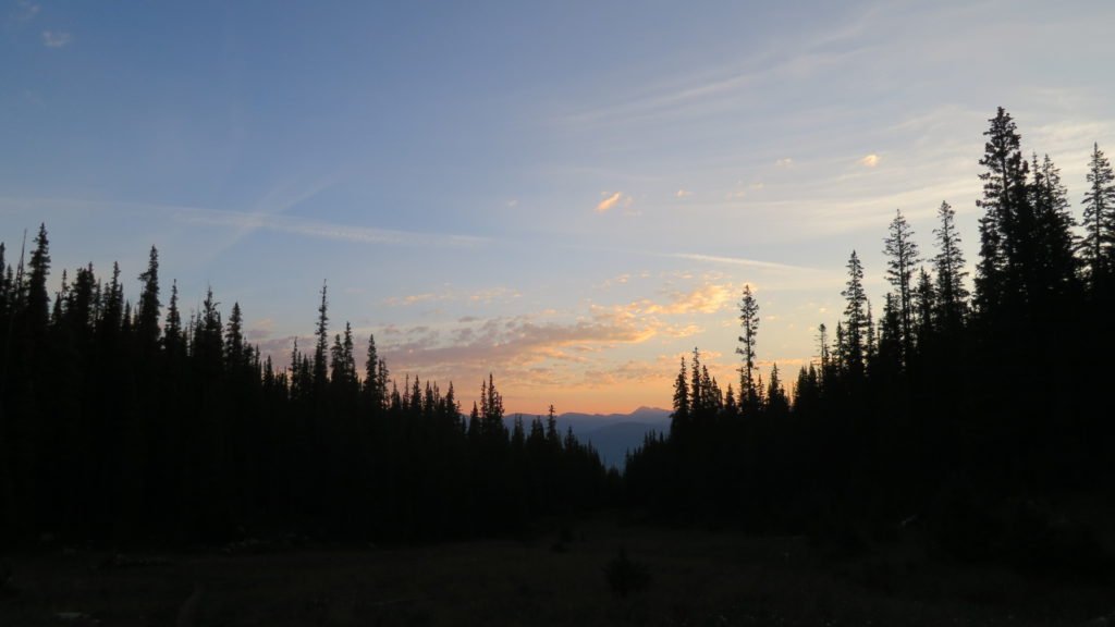
Surprisingly the temperature wasn’t so bad when I woke up on day 7. I was on the trail by 5:40 and got to see a beautiful sunrise over the mountains. The climb was tough; this was the highest point yet at 12,500ft.


I made the top by 8am and was talking to a runner and her dog when this paraglider came right over our heads. He had come off of the peak next to the saddle I went over and had a 2500ft drop into Copper below. Took him about 8 minutes, it took me over 2 hours to get there. In the picture, he’s left middle and Copper is on the right.


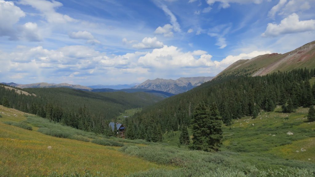
When I got to Copper, I was dreading the next part. I had to climb from Copper at 9700ftt back up to 12,300ft and traverse 2 passes. I’d also be above tree line for 8 miles at a time of day thunderstorms form. I called Tracy and wished for luck and she must have gave it since everything went fine. I passed a really nice ski hut and had an incredible view of Freemont Pass. The day was 22 miles and over 5000ft of climb.


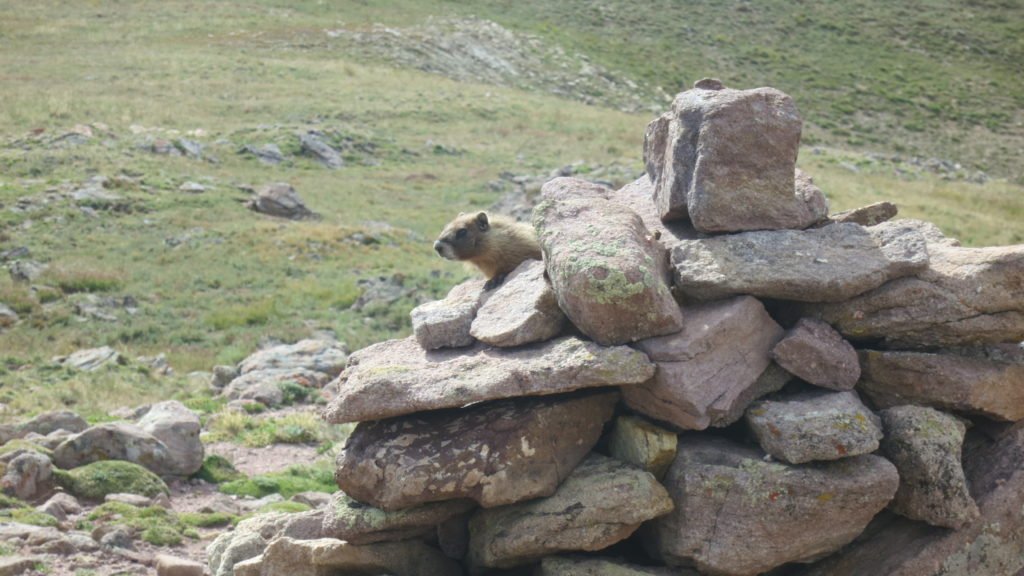
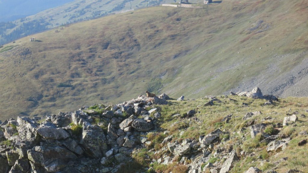
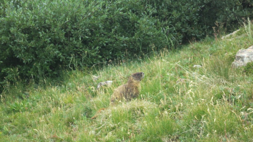
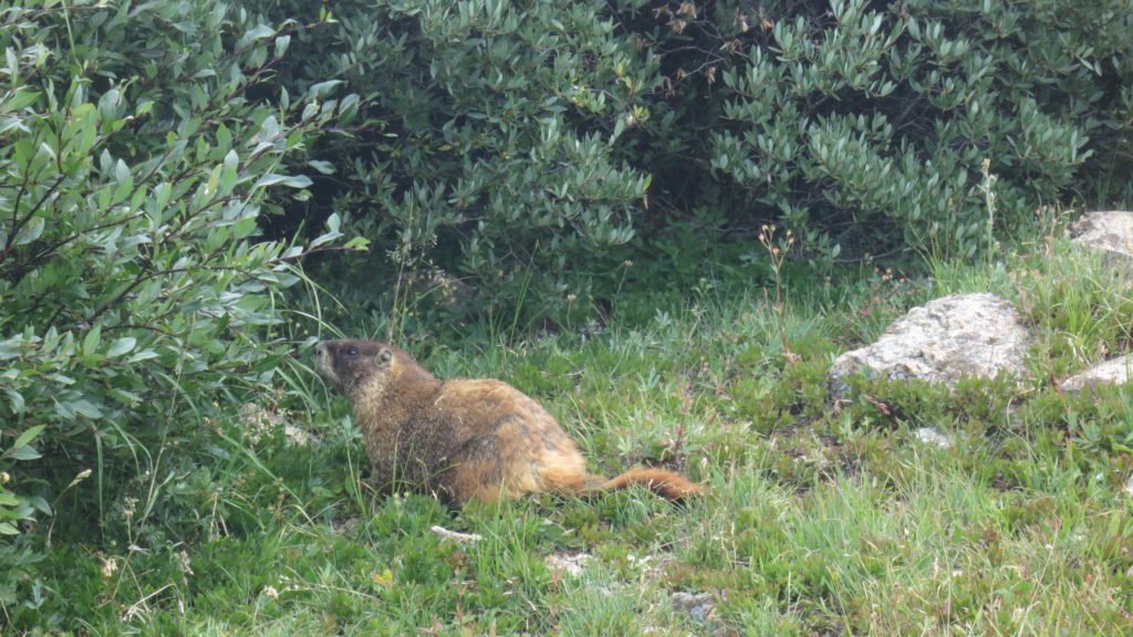
Also, I have a thing for Marmots and this day was Marmot heaven. Here are a few that I tried to get to pose.


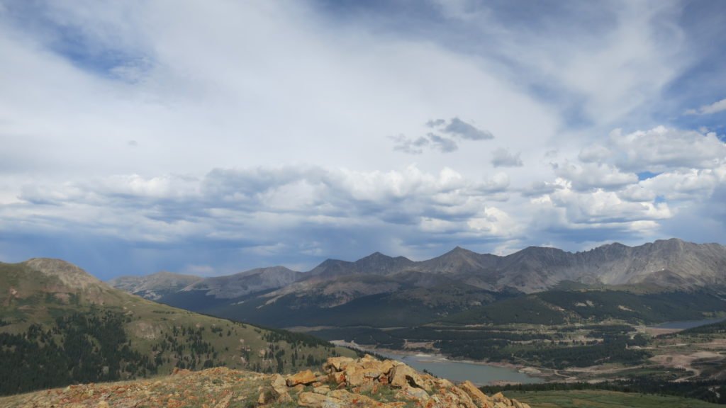
The final day was fairly easy. I didn’t hit the trail until 7:45 since I only had 10 miles to go. The first 3 miles were downhill and the views were stunning,

I dropped into a valley which used to be Camp Hale where the army used to train soldiers to fight in alpine conditions in ww2. There isn’t much left of the camp accept for the deteriorating bunkers, There were crews working around the valley. I thought they were looking for unexploded ordinance, but when I read the state of Colorado memo it turns out they were looking for asbestos.

The last 4 miles were through a valley and then to an old railroad bed that took me to Tennessee Pass trailhead. I called Mike and he picked me up 30 minutes later. Turns out the house we are staying in is only 4 miles away. The plan is I take it easy for the next 3 days, then on Saturday, I’ll pace Mike in the Leadville 100 for 50 miles. I’ll recoup on Sunday and then hit the trail again on Monday.
