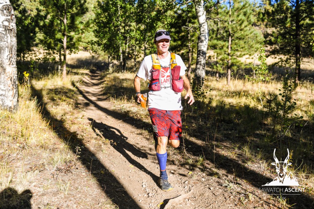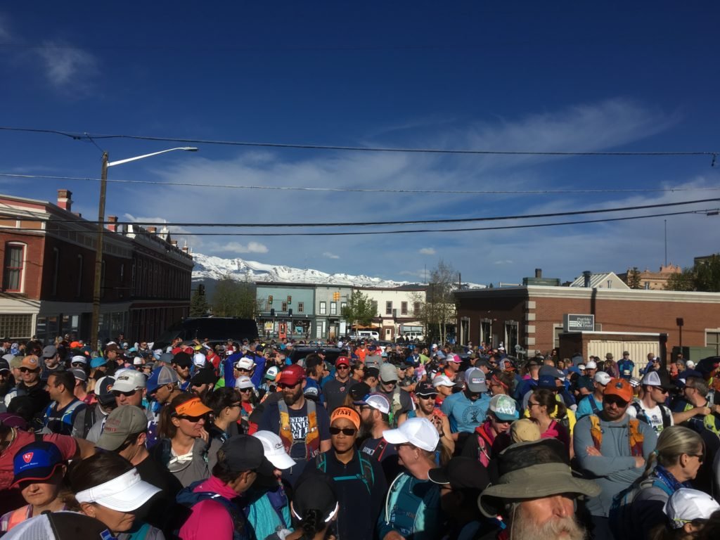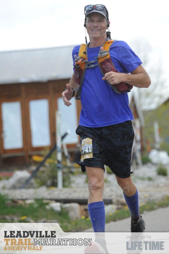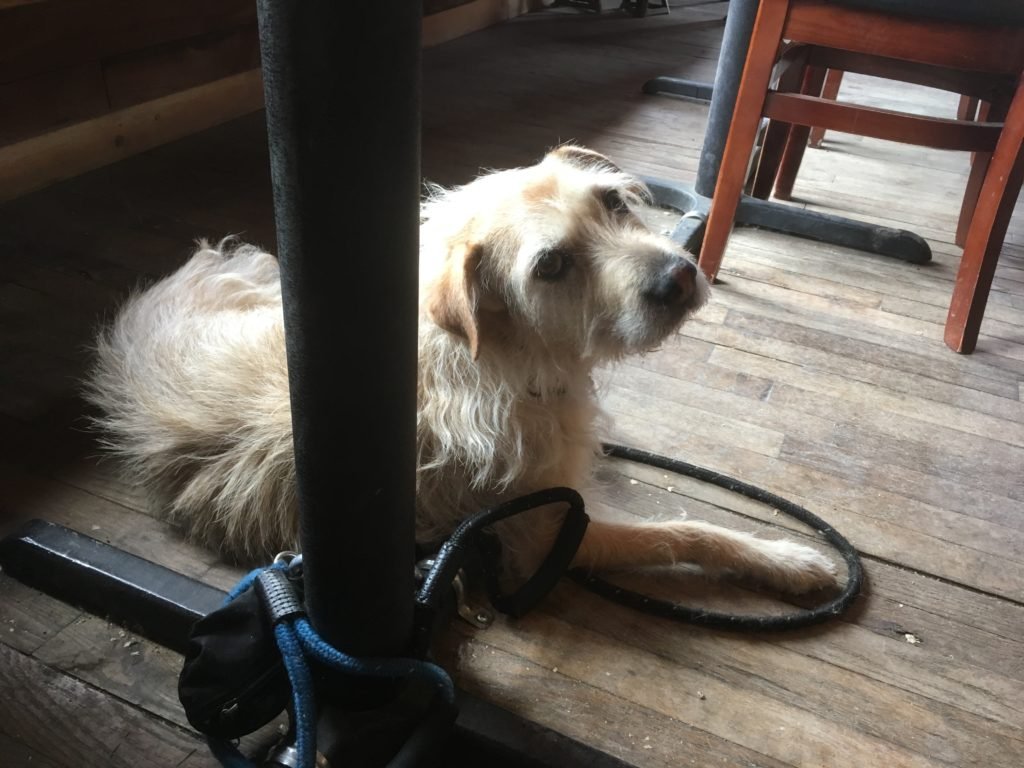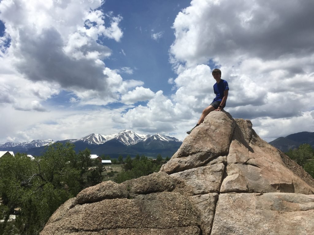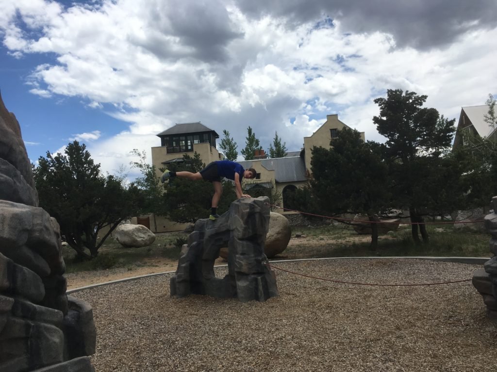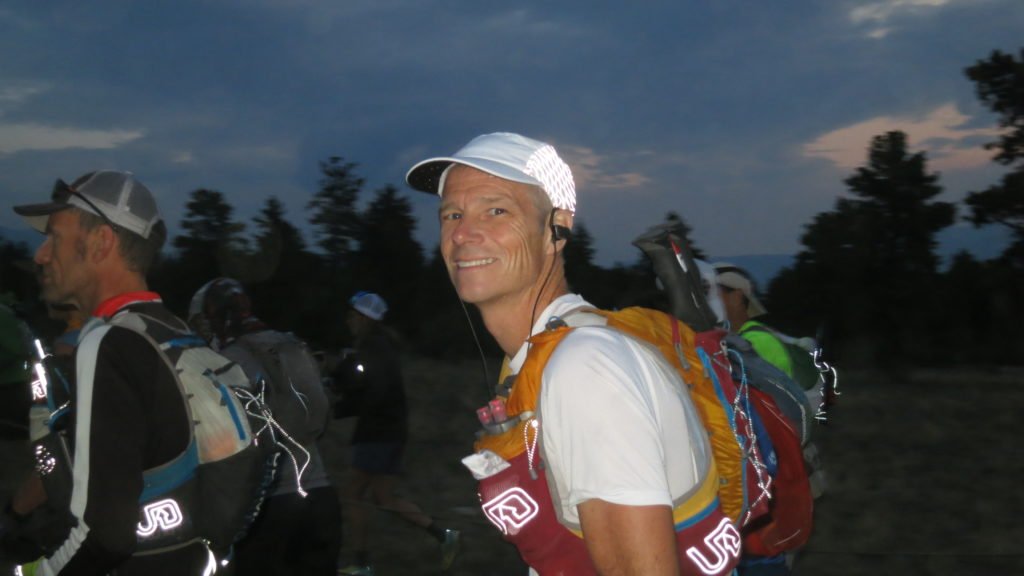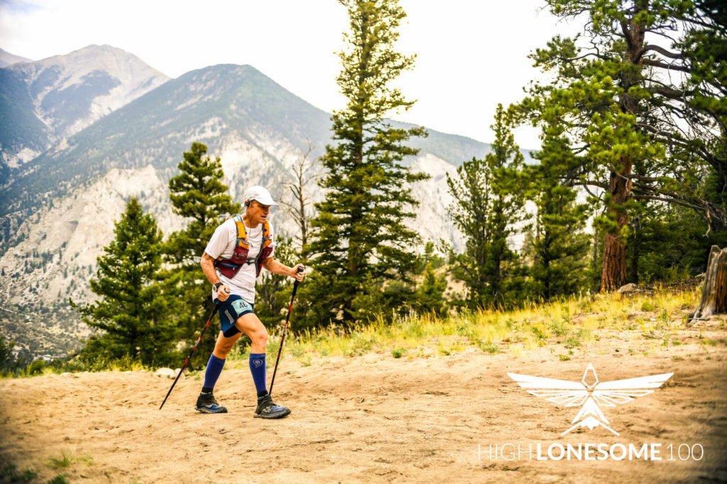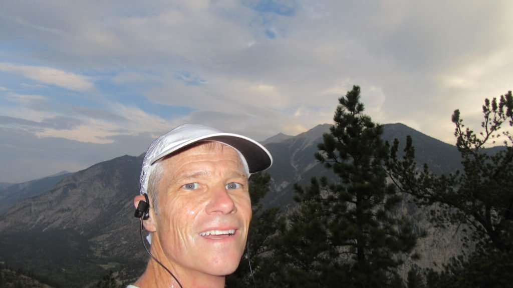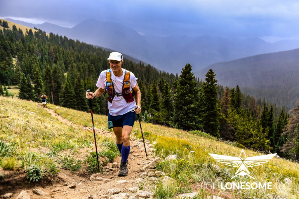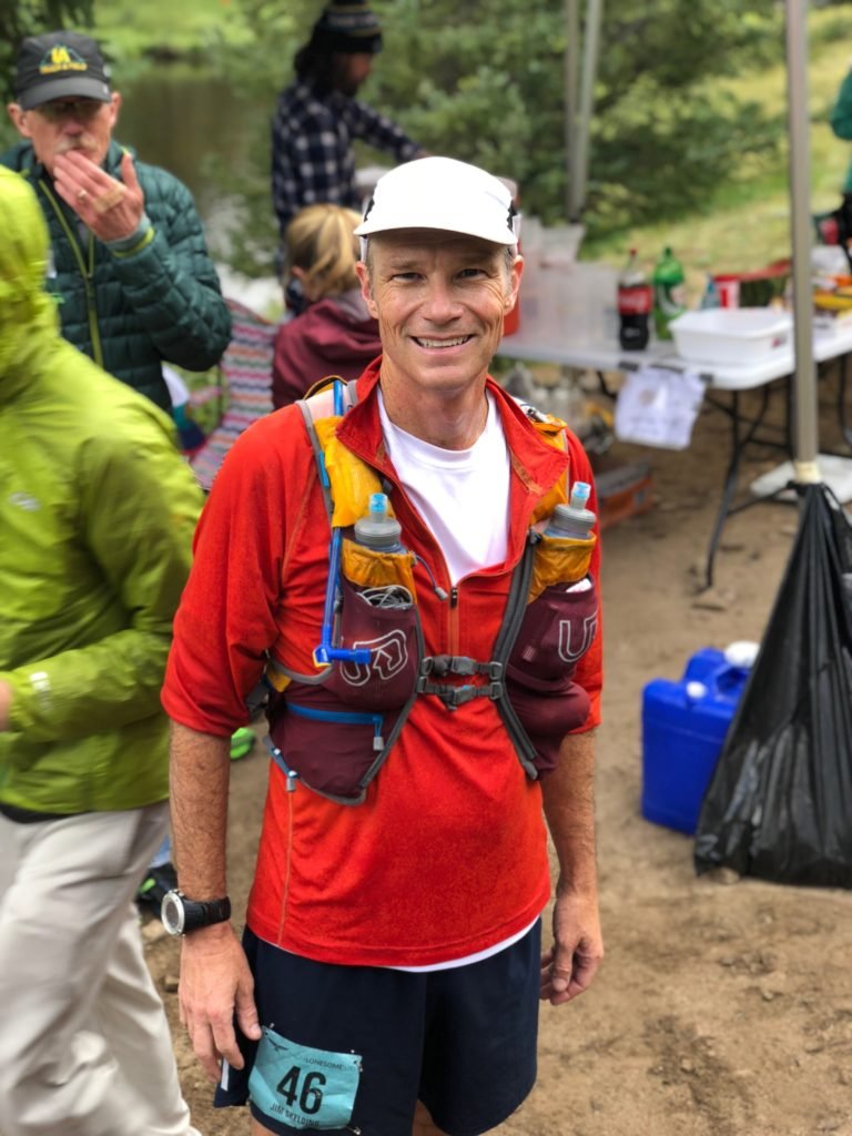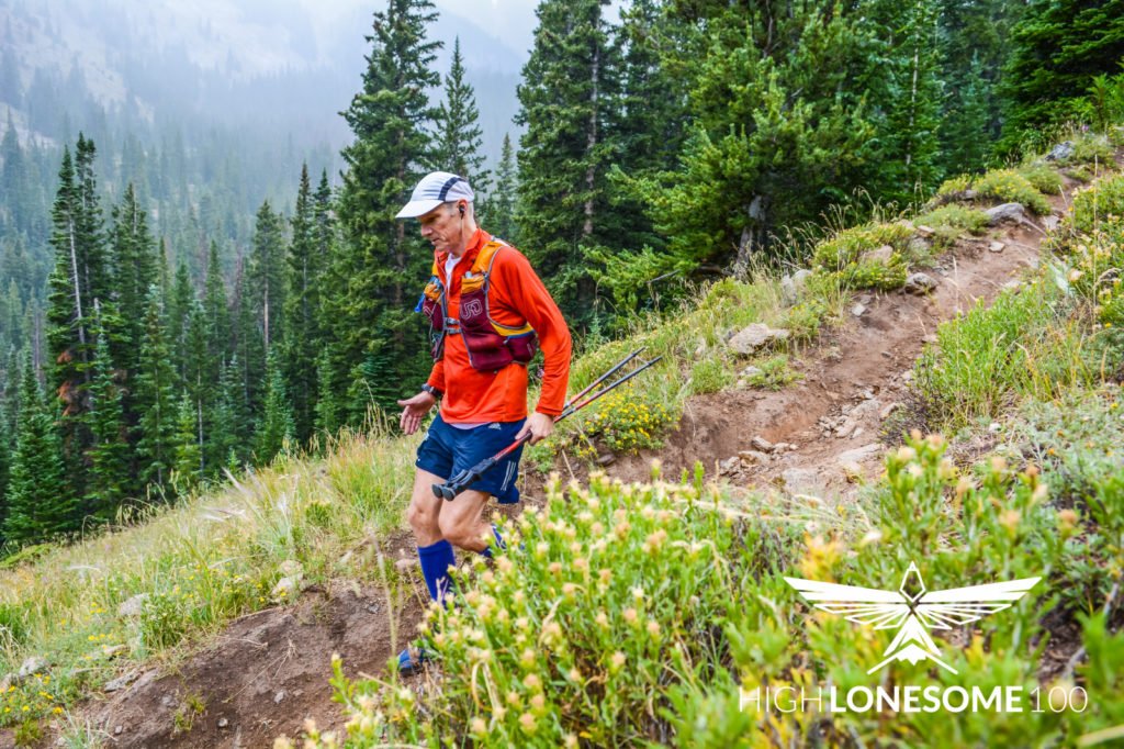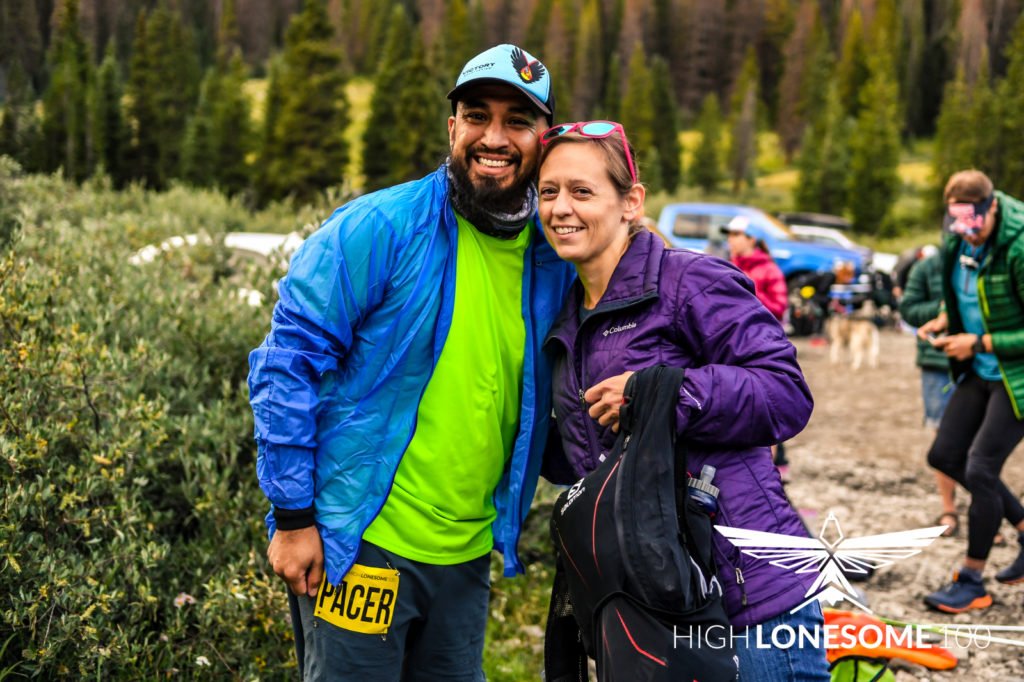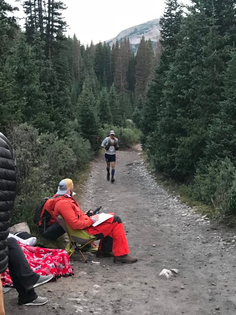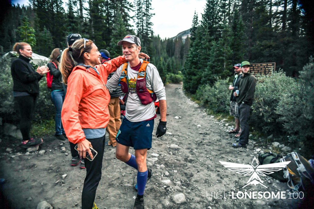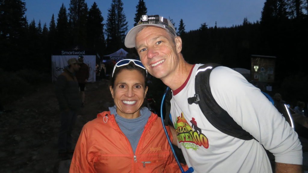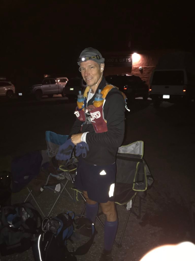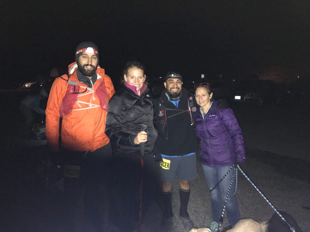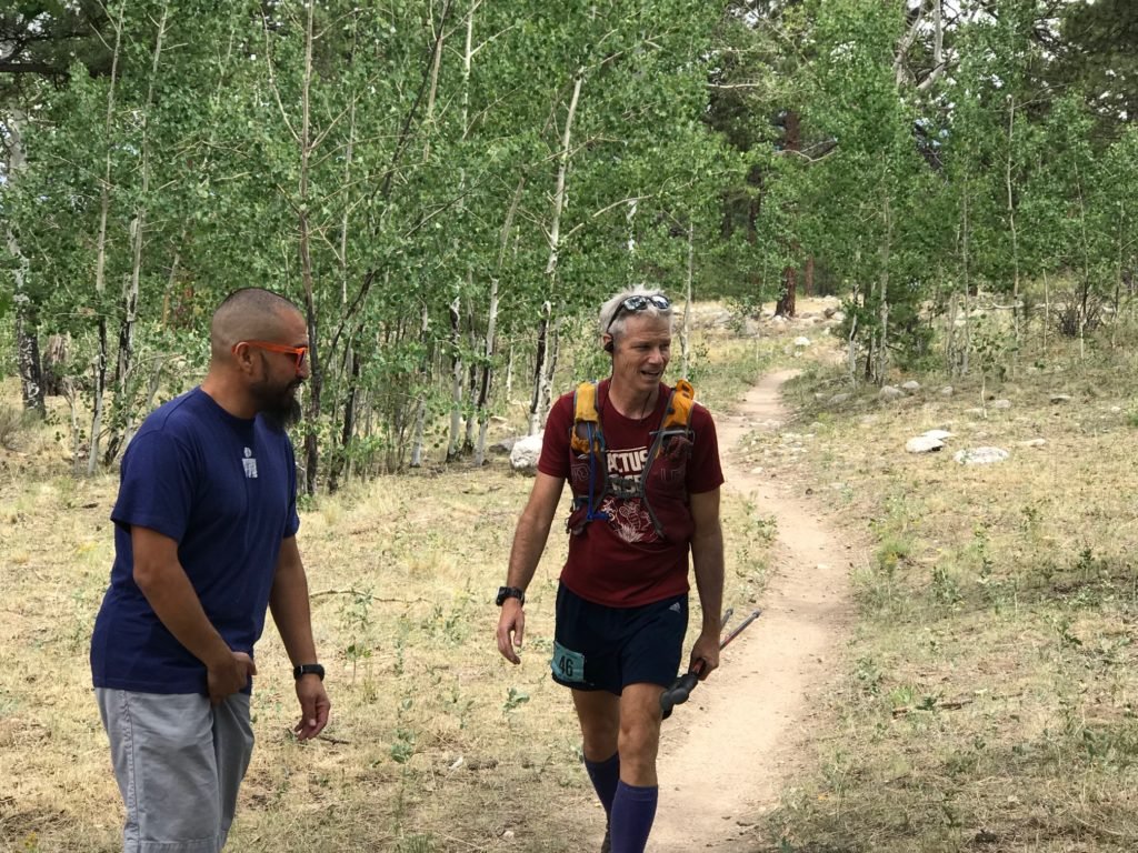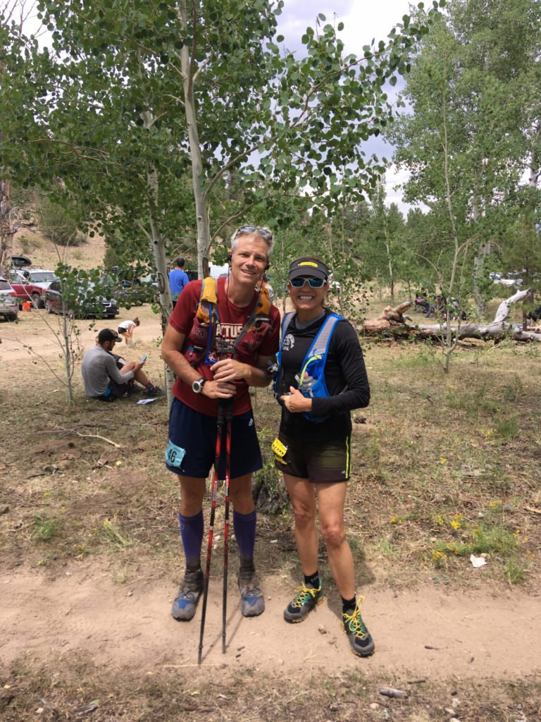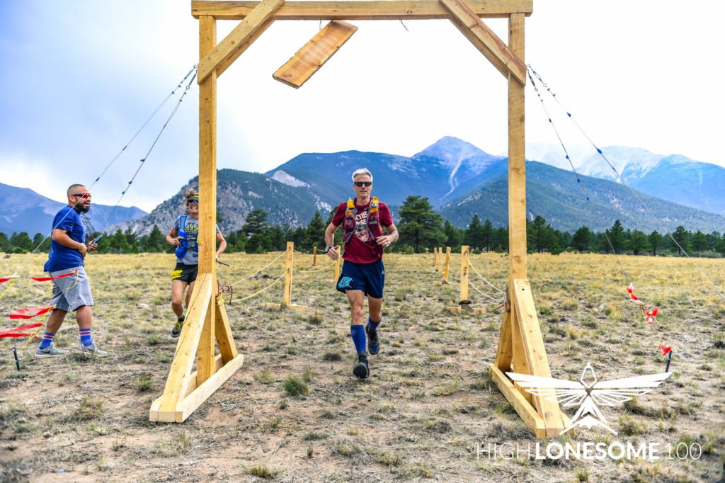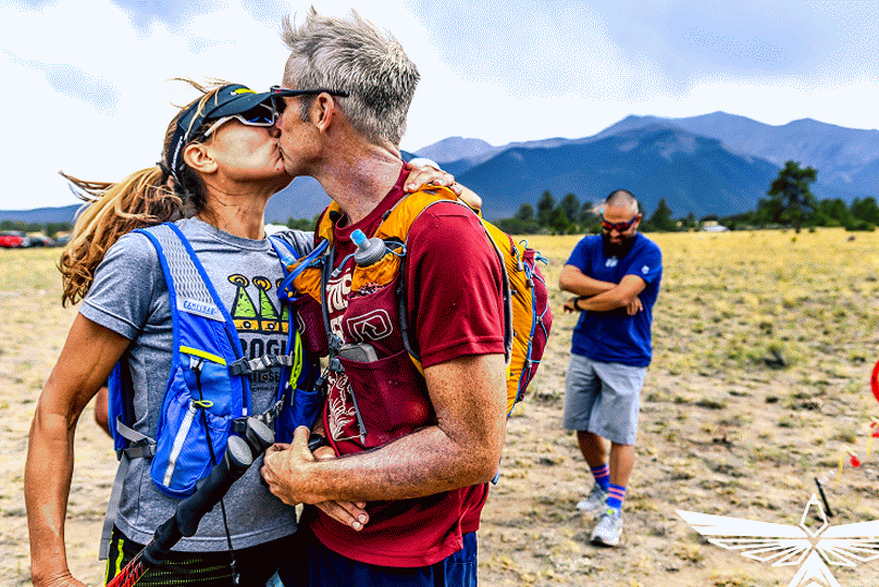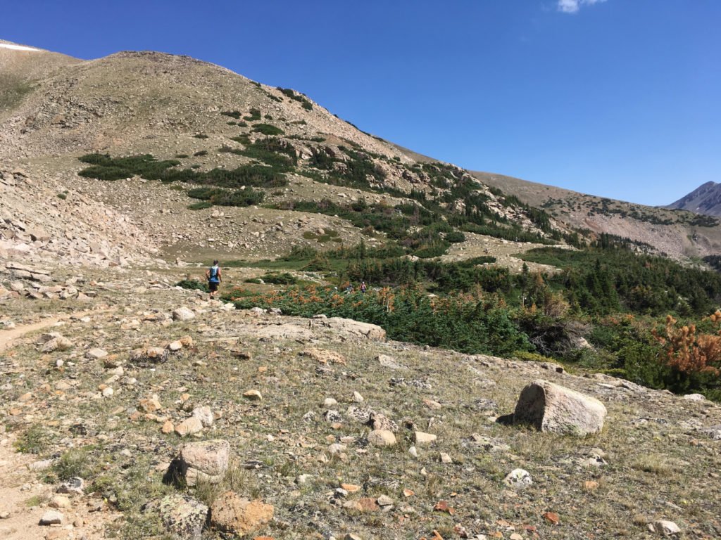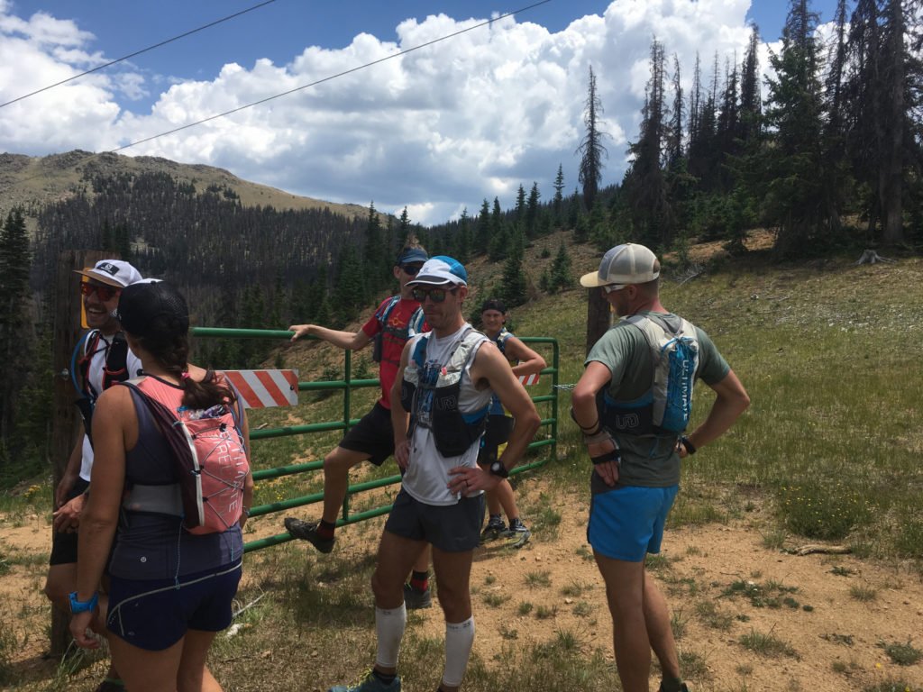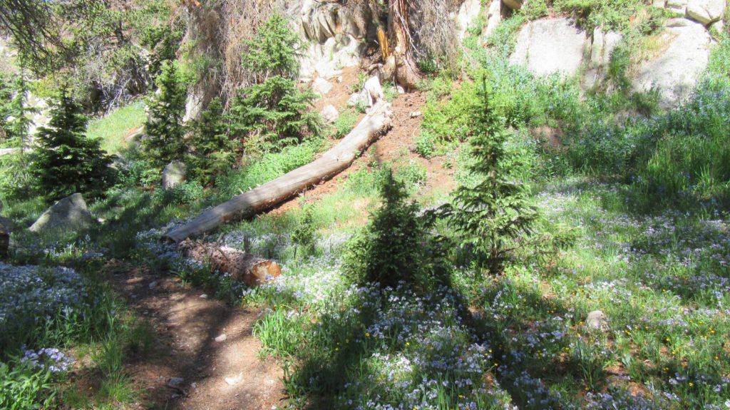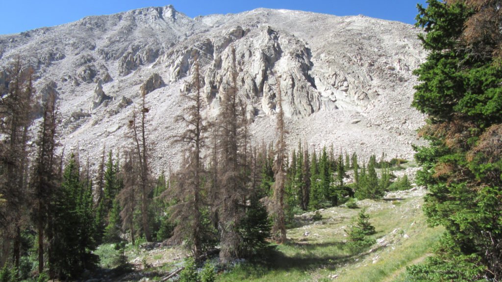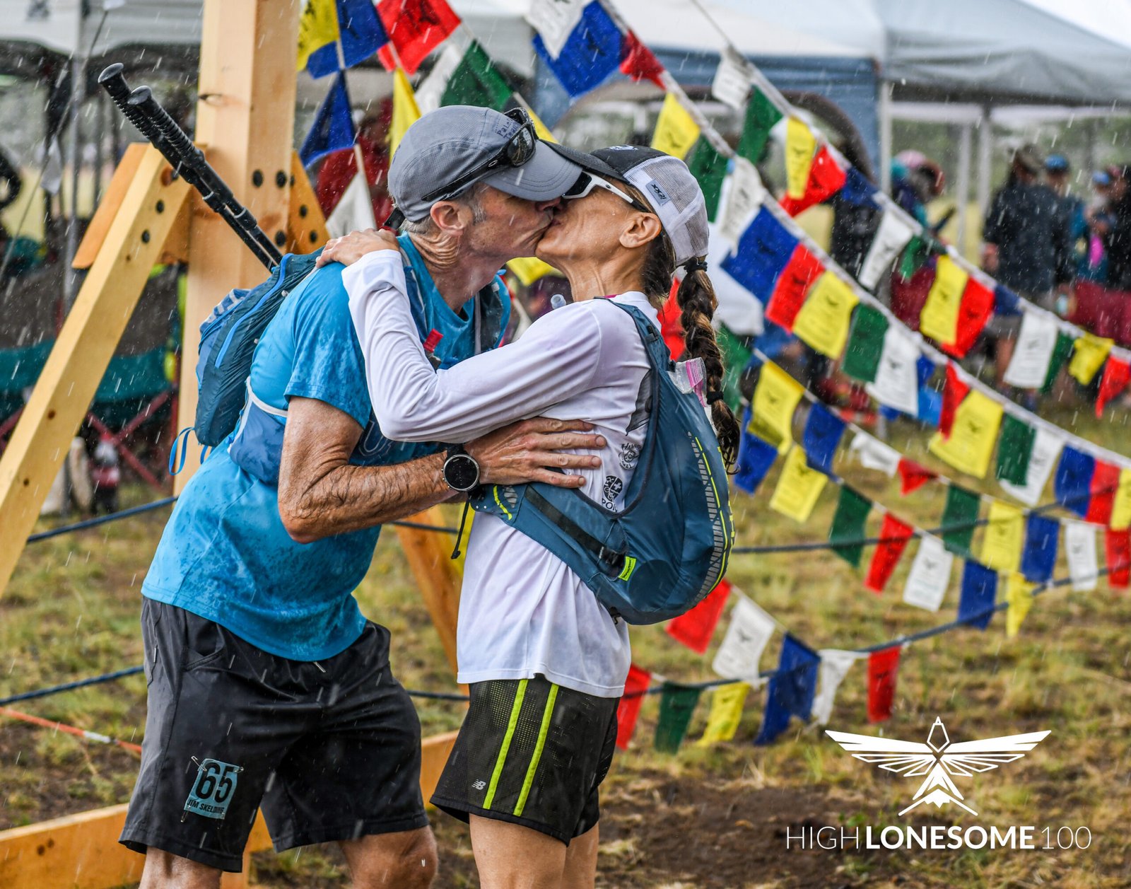
Half Lonesome 2024 is over. 4 of us went the distance – 2 others went half or more if it. A few photos from the adventure.
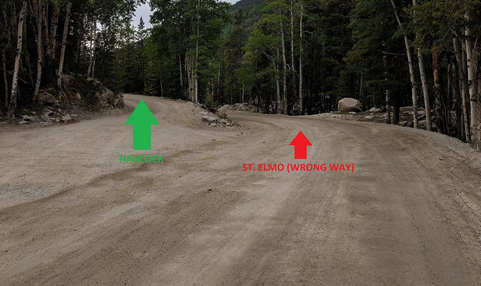
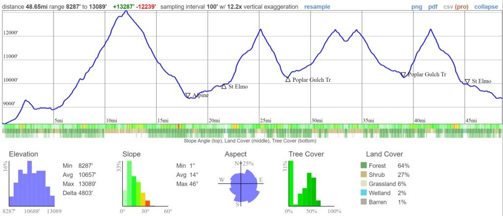
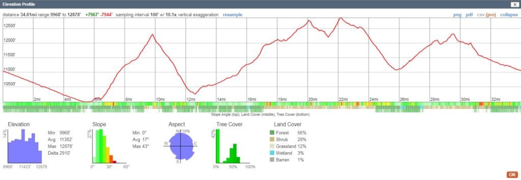
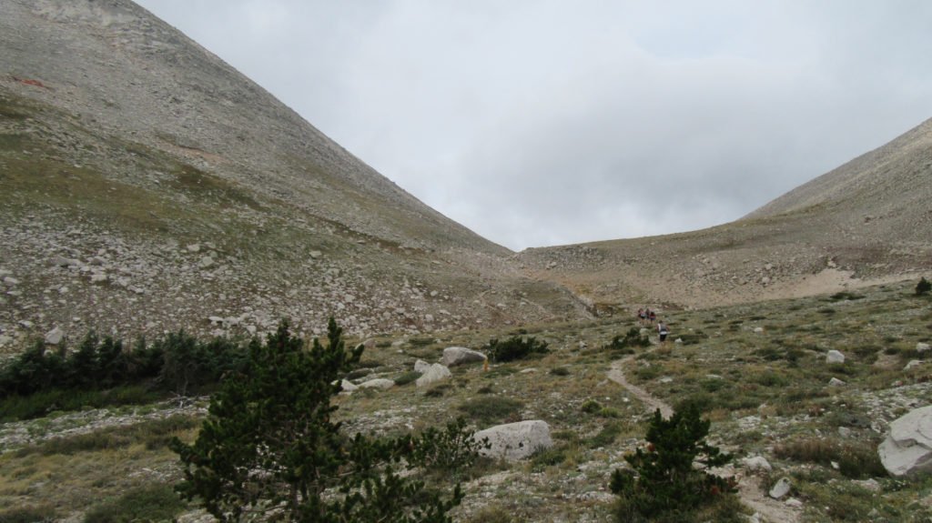
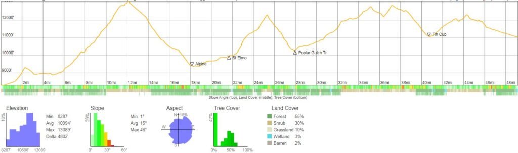
We are 3 days away from Half Lonesome. We will use the legacy route. Everything is clear until we start coming down Antero. There will be some snow and several deep stream crossings. Laws Pass is wide open. The CDT is very muddy and still covered in snow in parts, but it’s manageable. Today, I took a picture of a snowfield in Mineral Basin so I could compare it to the same spot in 2023. Much less snow. Heather and I did the CDT from Tin Cup to Hancock on Sunday. The snow field remaining on the ridge above the tunnel trail is just a fun glissade down. We took the road back to St. Elmo and it is in good shape.
2024
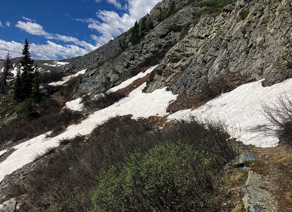
2023

Gear – Spikes usually don’t do much when the snow is so soft, but poles are a necessity. I would also suggest gaiters to keep the snow out of your shoes.
Tracking – Please download the GPX just in case we get separated. I will have my in-reach in case anyone wants to track us.
Car Drop – If you are dropping a car at Alpine, do not park in the town itself. Pull off in one of the several pull outs on Chalk Creek road. Note that this is a big parking area for ATV trailers so make sure you park in a manner that you don’t get blocked in by some redneck. It’s ~6 miles back to the start on the same road.
Drop bag – If you want something at mile 19, you can leave it in my car at the start and Tracy will grab it and bring it to Alpine with her when she meets us in the morning.
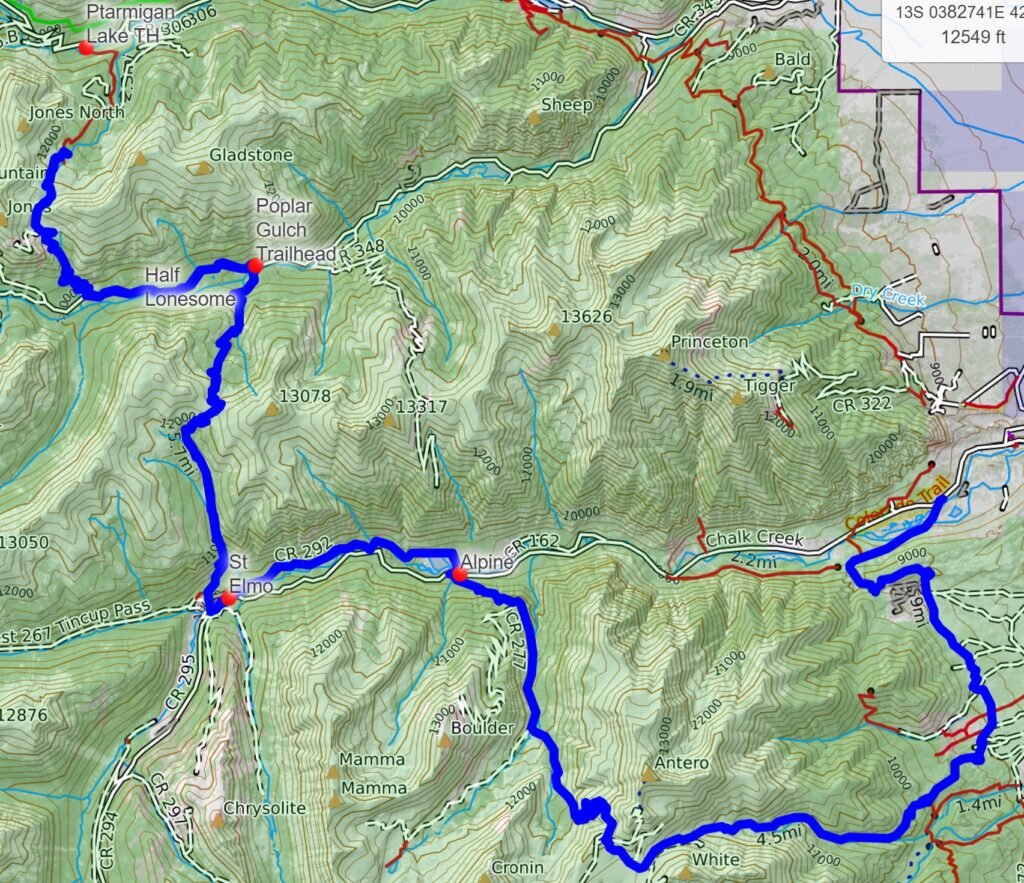
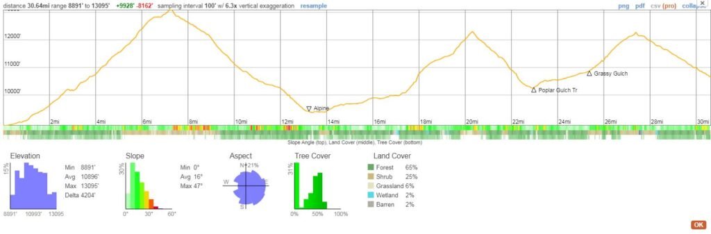
Logistics – We start and finish at different spots but the start is on the same road as the finish so dropping a car at Hancock the day before is the easiest method if you don’t have someone picking you up or a ride. The end of the run is at Hancock which is 15 miles from the start. The road is in decent shape. A normal vehicle can make it, but just plan on 30 minutes to do the last 5 miles. Heather will be riding with me in the morning to the start. Tracy will take Faye to Alpine and she will do the last 30 miles with us. Faye, Heather, and Jim will be picked up by Tracy at Hancock. I think Courtney and Jarod have crew so if they are meeting her in Hancock, maybe Mike can get a ride back with them.
Water/Food – There is plenty of water on the course, but I’d recommend filtering since a lot of it comes from beaver ponds. Plan on being out there for 16 hours so pack enough food to keep you going. You can always put a bag in my truck and Tracy will bring it to Alpine (mile 19). We will pass the St Elmo General store if you want an ice cream treat (bring cash).
Crew/Dropping – I’ve outlined a lot of spots for crew to meet you if you need food or need to bail. The easiest place is the turn into the town of Alpine. You are also 6.5 miles from the start if you want to just do the first part of the run.
Weather – You will get wet. It rains almost every afternoon and there are some raging stream crossings. Depending on our altitude, there could be hail so I recommend a very good rain jacket, pants, gloves, and beanie in your pack. Also, the divide still has snow and mud fields so be prepared.
Lodging – If you are camping, there is plenty of BLM land in the Brown’s Creek area. You can just find a spot and set up. I was told that they were slowly moving to dedicated camp sites but I don’t think it’s been done yet. If you want a hotel or short term rental, you might be out of luck. If you find one, reserve it ASAP.
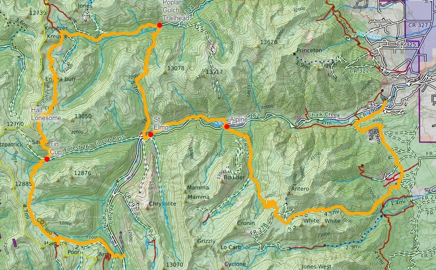
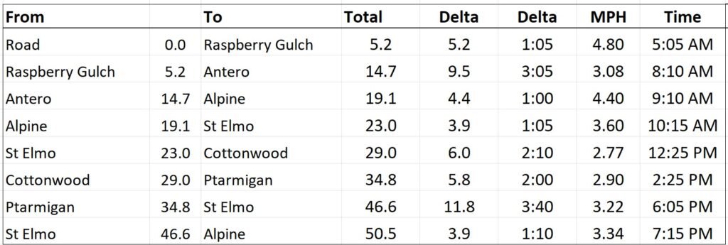
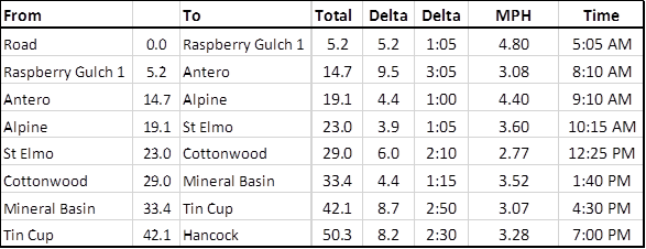
Intersection of Chalk Creek Dr and Co rd 290 for a 4am start on Friday the 30th Start: 38°43’22.2″N 106°10’46.8″W – 25min drive
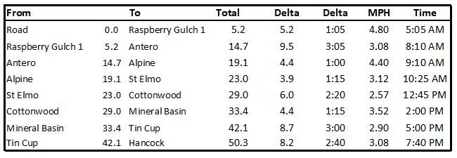
Bail out point 1 : Raspberry Coordinates: 38.689344, -106.170766– 30min drive
Estimated time: 5:05am
Easy meeting point for crew Alpine Coordinates: 38.709844, -106.289312 -35min drive
Estimated time: 9:10am
Bail out point 2 : Cottonwood Coordinates: 38.764577, -106.336511 – 45min drive
Estimated time: 12:45pm
Bail out point 3 : Tin Cup Coordinates: 38.6923, -106.4142 (note that this road is awful so the person will need to walk 4 miles to St Elmo – 45min drive to St Elmo)
Estimated time: 5:00pm
Hancock Coordinates: 38.639211, -106.361804 – 1 hour drive
Estimated time: 7:40pm