Monthly Archives: June 2016

On the way to Alaska

For the next two weeks I will be kayaking with my brother and four friends in glacier bay.   

It was impossible to make it all the way there in one day so I spent last night on Seattle.  I was hoping to have dinner with my friend Todd, but he suggested that we go to the mariners game. That sounded  great and he came through with rock star seats.  I was staying in Tacoma and dreaded the long drive at rush hour so the doorman suggested I take the express bus.  For less than $8 the bus took me almost door to door on less that an hour.  

We were joined by his friend Reggie. The weather couldn’t have been better and the mariners won.  This is a picture from our seats.  

I’ll meet everyone at the airport this afternoon and we are off to Alaska  

Mike completes Bighorn

Over the past day and a half, my buddy Mike has been running the Big Horn 100.  This race is one of the few qualifiers for the Hard Rock 100 which means its tough and has a lot of climbing.  Mike’s entire family came out for the race.  The plan was for us to see Mike once along the course and then I’d meet him at the halfway point.  Below is Mike with his nephew, Noah, right before the start.

IMG_2409

At 11am, 300 runners took off up a dirt road which turned into a single track trail that ascended a ridge 3,500ft above at 8,100ft.

IMG_2413

We met Mike at the 13 mile aid station.  He looked good and was ahead of his goal time.

IMG_2414

The race had internet tracking at several locations and Mike fell a little behind his time at the 30 mile mark.  We were speculating that it was due to weather.

Mike and I left the turn around point aid station around 3:30am.  He told me how hard the climbs were, but the really painful spot was his legs…. it was going to be a long day since our total drop was supposed to be over 11,000ft.

IMG_2419

Everything is better in day light and this far north, the sun comes up around 5:30am.

IMG_2425

The terrain was beautiful – rolling hills that paralleled a river.

IMG_2426

The course took us to the bottom of the river down to an altitude of 4,500ft.

IMG_2428

Unfortunately, going down meant that we had to go up; and with temperatures near all time record highs, climbing out of the canyon was incredibly tough and hot.  The picture below shows the canyon that we climbed out of.

IMG_2429

The trail kept going up and up.  We finally made it back to the aid station where Mike’s family would be waiting (mile 83).

IMG_2439

The trail was slightly downhill until one giant climb at the end back up to 8,100ft.

IMG_2430

From there, it was all down hill.  In some places very steep.  Good news is we made great time, bad news is that it crushed out quads and feet.

IMG_2442

At the end, Mike finished in 33 hours and climbed over 18,000ft.

IMG_2447

Checking out the Big Horn course

I am in Story, Wyoming this week… never been here, but I’ll be back since it’s really pretty.

Mike, Tina, and I drove to different points on the course in preparation for Mike running the Bighorn 100 tomorrow.   The 4 pictures below are from the canyon he will start in.

IMG_2399

IMG_2395

IMG_2396

IMG_2397

Within a mile of the start, Mike will climb to the plateau of the Big Horn mountains and slowly work his way towards the crest, which is the turn around point of the “out and back” race.   The picture below is from the car traveling along a gentle 8% grade road; Mike will be climbing a single track incline up almost a vertical mile.

IMG_2405

We will see him about 4 hours into the race at the 13 mile aid station.  The terrain is rolling green hills that rise and fall over many miles.

IMG_2400

I will meet Mike at mile 48 and pace the remaining 53 miles with him.  I expect to meet him around 2am Saturday morning.  The weather is expected to be in the high 40’s at night and low 70’s during the day.   Perfect running weather, but 101 miles in the mountains is tough no matter what.

IMG_2402

Baz’s Swan Song

I think this was my 6th or 7th Shadow of the Giants 50k.  Every time, Baz (the RD) has said it’s his last, but since his 75th birthday is coming up, I think it might be his last one.  While Baz probably doesn’t know my name, he has offered an incredible amount of inspiration and amusement to me, Tracy, and Preston.  I wouldn’t think that Preston cared about the race, but since he was going to Yosemite instead of racing this time, he was worried he wouldn’t make it for Baz’s raffle time.   Raffle is basically a trivial pursuit game that allows Baz to pass on surplus race material and make inappropriate comments to everyone (totally allowed when you are 75) .  Raffle was fun, with Brad winning duffle and Preston catching a shirt.  The picture below is Baz (far right) and his crew from over 30 years ago…. crazy thing is most of these guys are still running.  A 77 year old finished Shadow this year.

Original%20Goats%20GC-R2R2R%201984

Tracy after retiring from running crushed the 20k in just over 2 hours in 2013…

MTH-0213-L-Tracy_water

Preston was like Baz’s little pet for several years being the only kid to run the 20k….

BAZ_P_J_5x7

This post is a big tribute to someone that was founder of the sport and brought inspiration and joy to so many…. Baz’s farewell is here:  http://www.bigbaztrailraces.com/16/50K-ShadowG-Jun11.htm (make sure you look at #98 in the 50k)

In regards to the race this year, I beat my best time by 48 seconds, making it my fastest 50k ever….  Lots of football and poker was played during the week – below is a cool shot.

IMG_0105


Cross country in Yosemite

Last Sunday, Preston and I were joined by two of our friends, Brad and Wes, for a backpacking trip in Yosemite.  Our intention was to do and extended version of the Vogelsang loop that we did last year (http://www.everytrail.com/guide/lyell-canyon-vogelsang-loop); but we had to change our plans.

IMG_2299

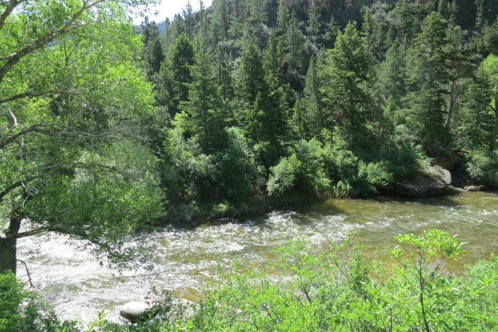
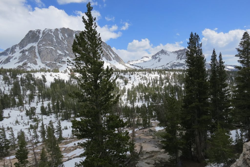
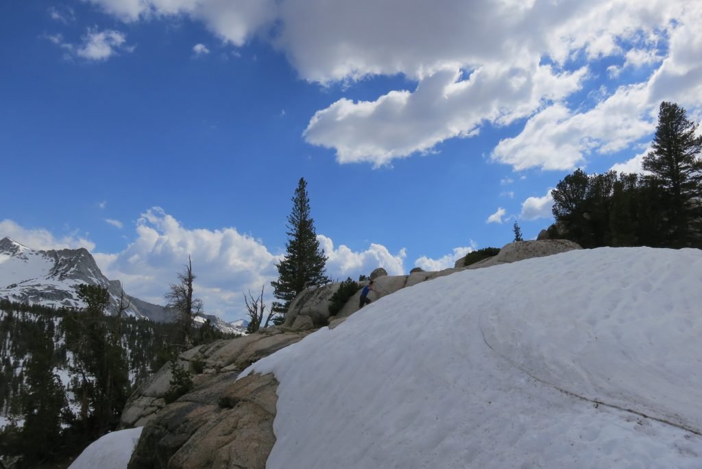
The Sierra’s received a lot of snow this winter and the trail became obscured just shy of the first pass we had to climb (Tuolumne).  We decided to call it a day and set up camp in a dry spot.  Preston and I then took off to see if we could find a way across the pass that didn’t include us wading through a very swollen creek.  The first picture below is from our first campsite, the second is Preston scaling a tarn to see if we could find Booth Lake on the other side of the pass.

IMG_2318

IMG_2322

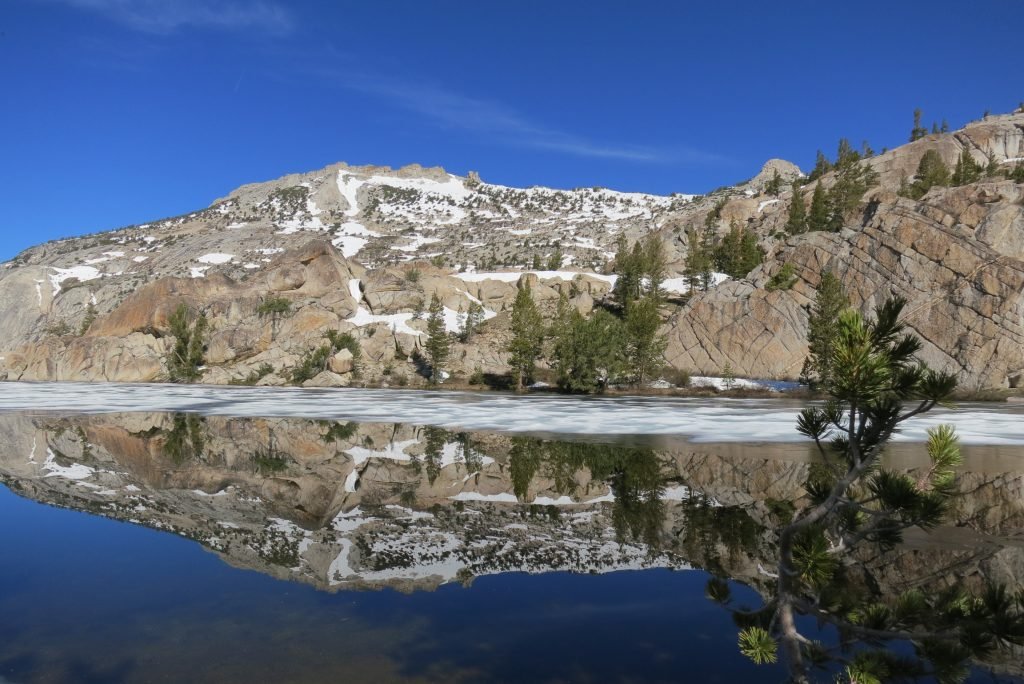
We worked our way around the canyon and found the lake.  It was less than 2 miles from the campsite, but with 36″ of snow base, getting there was treacherous in the loose snow of the late afternoon.

IMG_2324

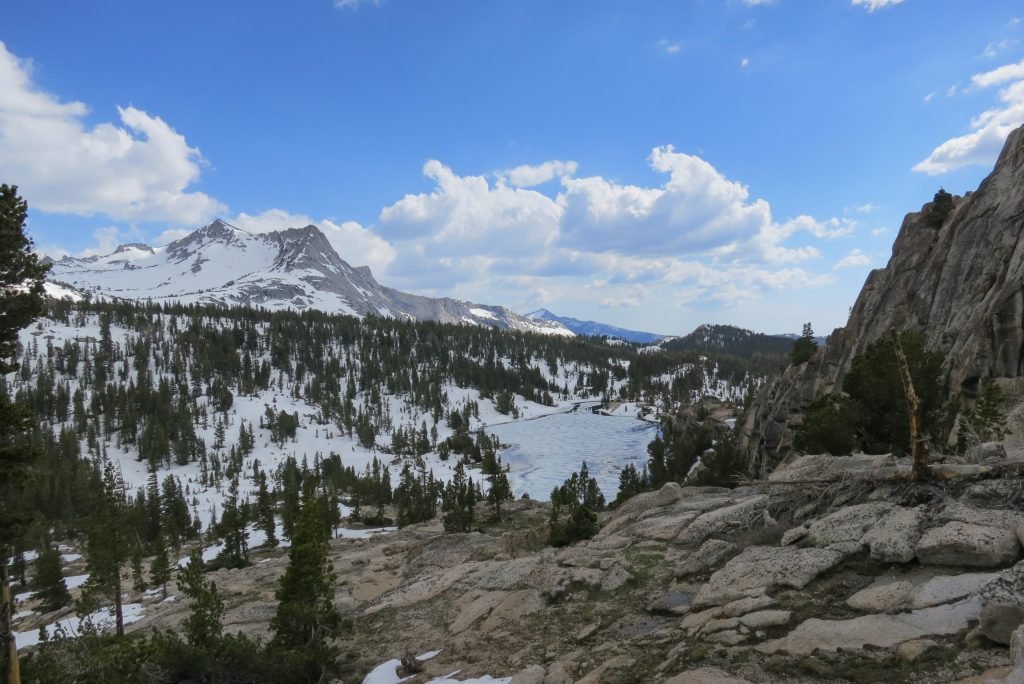
The next morning we set off while the snow was still frozen and hiked the distance in a little over an hour.  We found a clear spot right on the lake shore next to a stream feeding the lake.

IMG_2333

I broke out my fly rod and while casting in the wind wasn’t that easy for a beginner like me, I could drop the fly and line in the stream and let it drift out into the lake.  I hit pay dirt twice and we had a little snack of trout.

IMG_2336

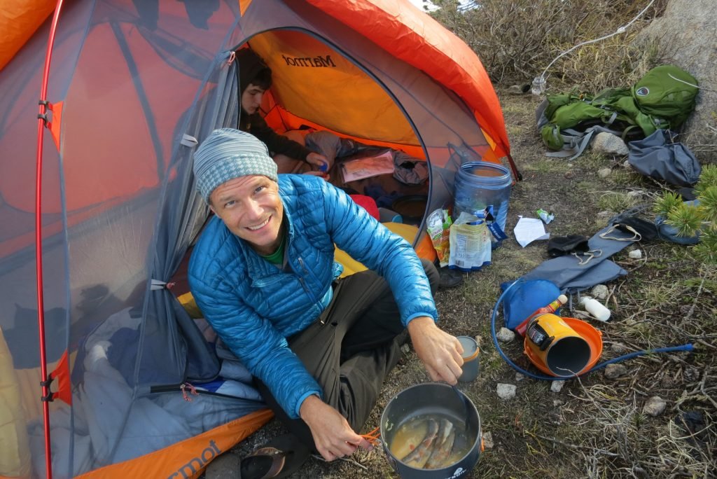
We shared our campsite with a very brave Marmot.  He was curious of everything and tried multiple entry points into our camp.

IMG_2338

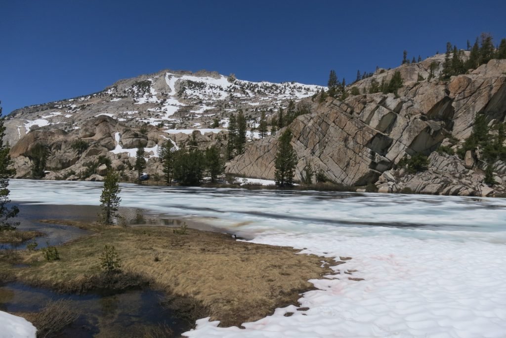
The next morning, the lake had frozen over again and everything was still.  It got well below freezing that night so it took a while to get moving in the morning.

IMG_2341

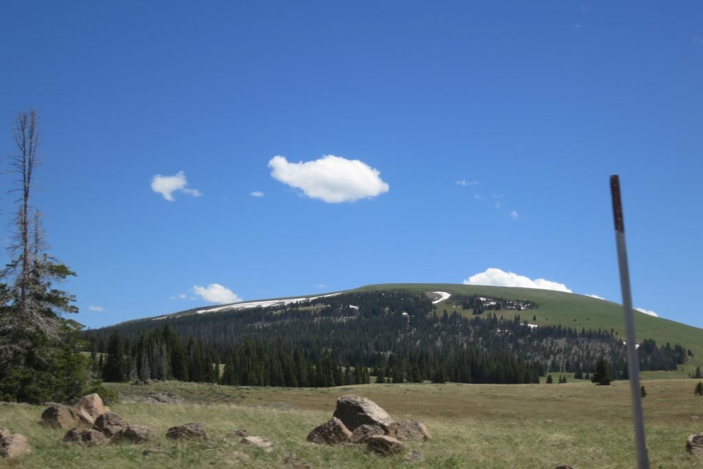
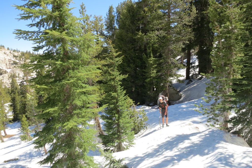
Our goal for the day was Evelyn Lake.  The lake is fairly close, but with the heavy snowfall, there was no trail to follow.  Preston and Wes had explored the woods above the lake the day previous and found one of the trails, so we had an idea of where we were on the map.   We hiked to that trail in the morning and then Preston and I set off without packs up the hill to try and find the other trail that would point us in the direction of the lake.  We found the trail about 200′ above.  It was a grind as we switch backed the steep hill with backs.

IMG_2348

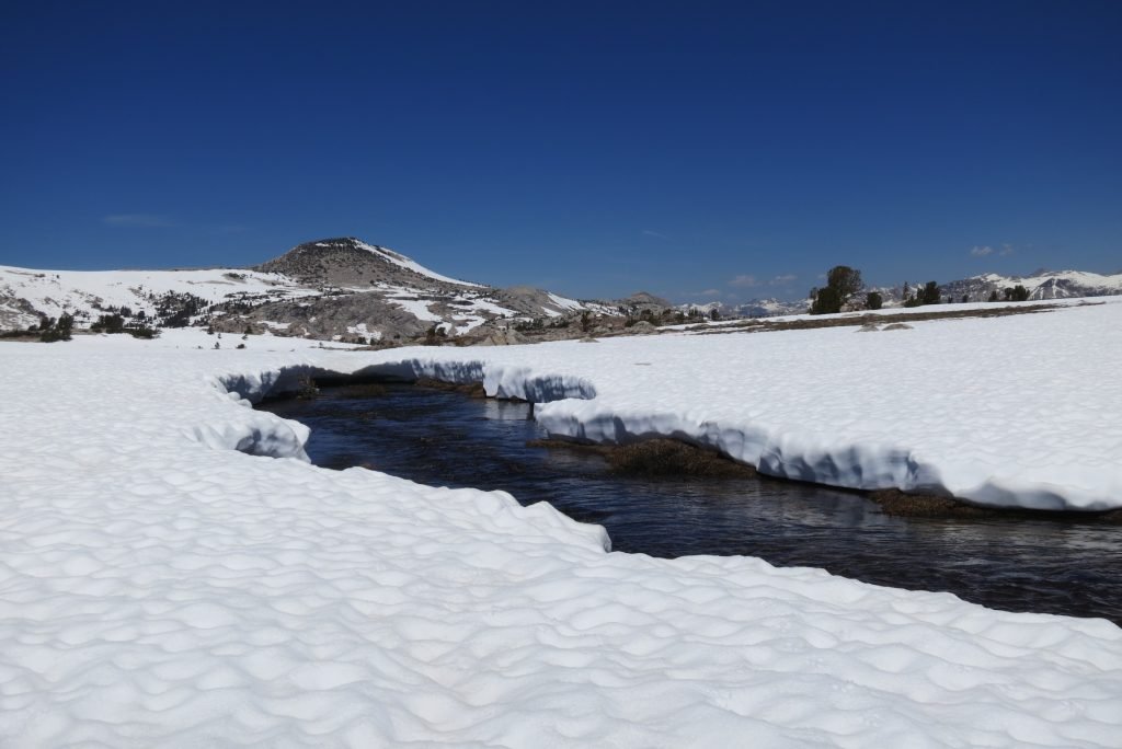
When we got to the lake, we had to cross a large plain that was filled with snow covered creeks.  There were many snow bridges that we had to cross.  Its a little nerve racking knowing that the snow could collapse under your weight onto the rocks and water beneath, but we were careful and made it without incident.

IMG_2367

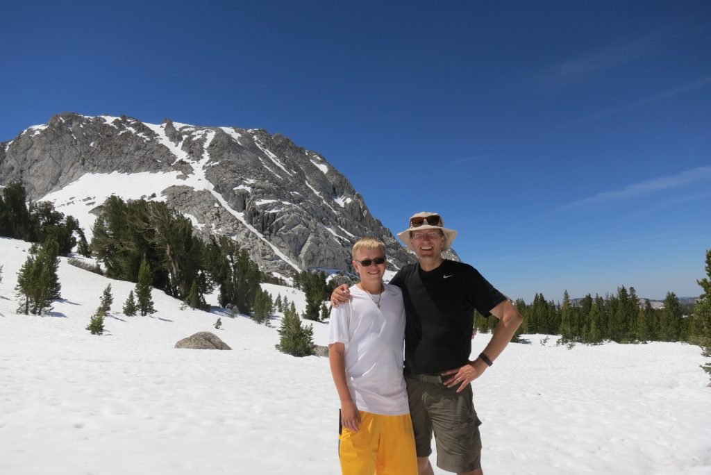
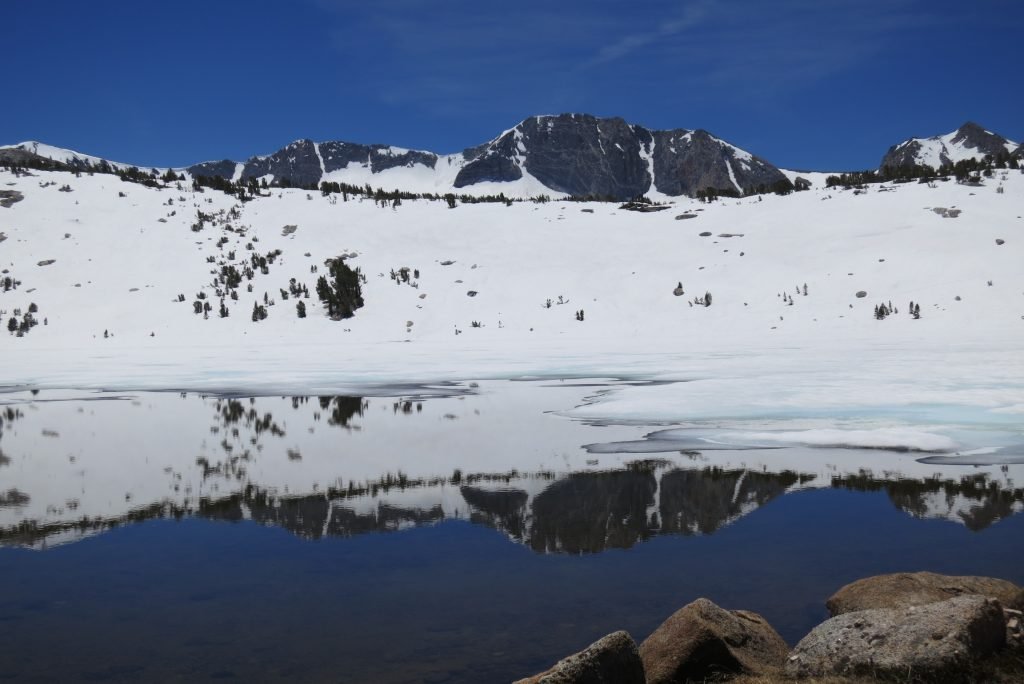
The lake was mainly iced over, but it was a barren, beautiful landscape.  We camped in the same small grove we had camped in last year.

IMG_2356

IMG_2365

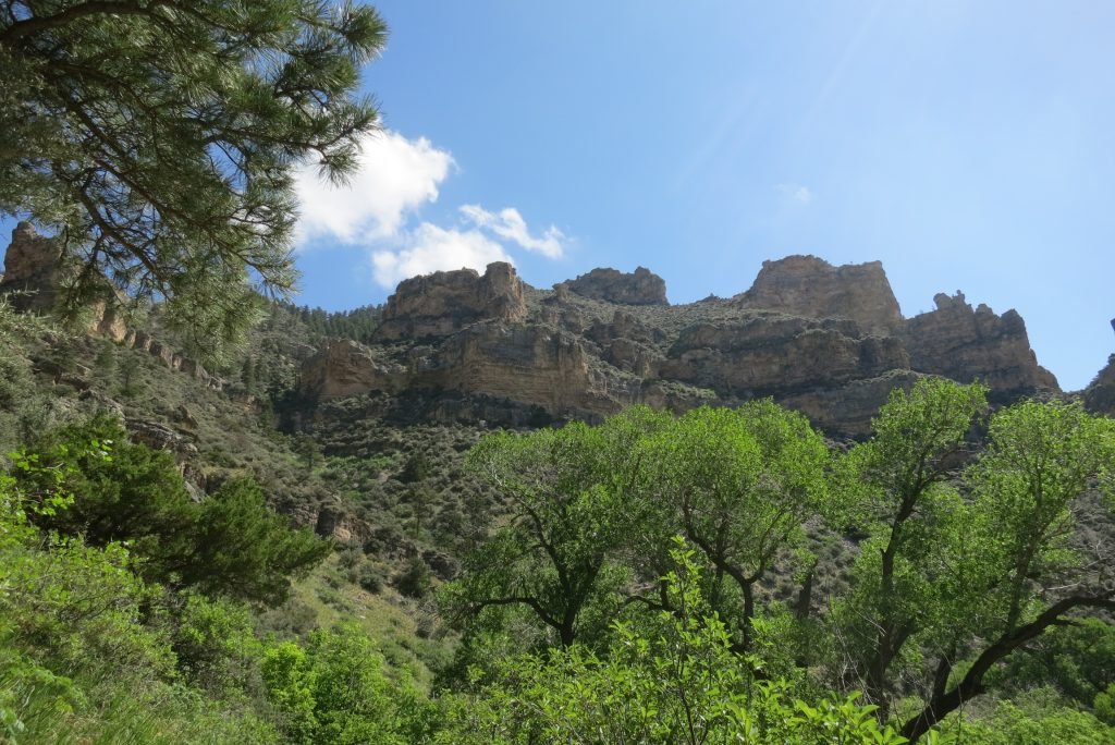
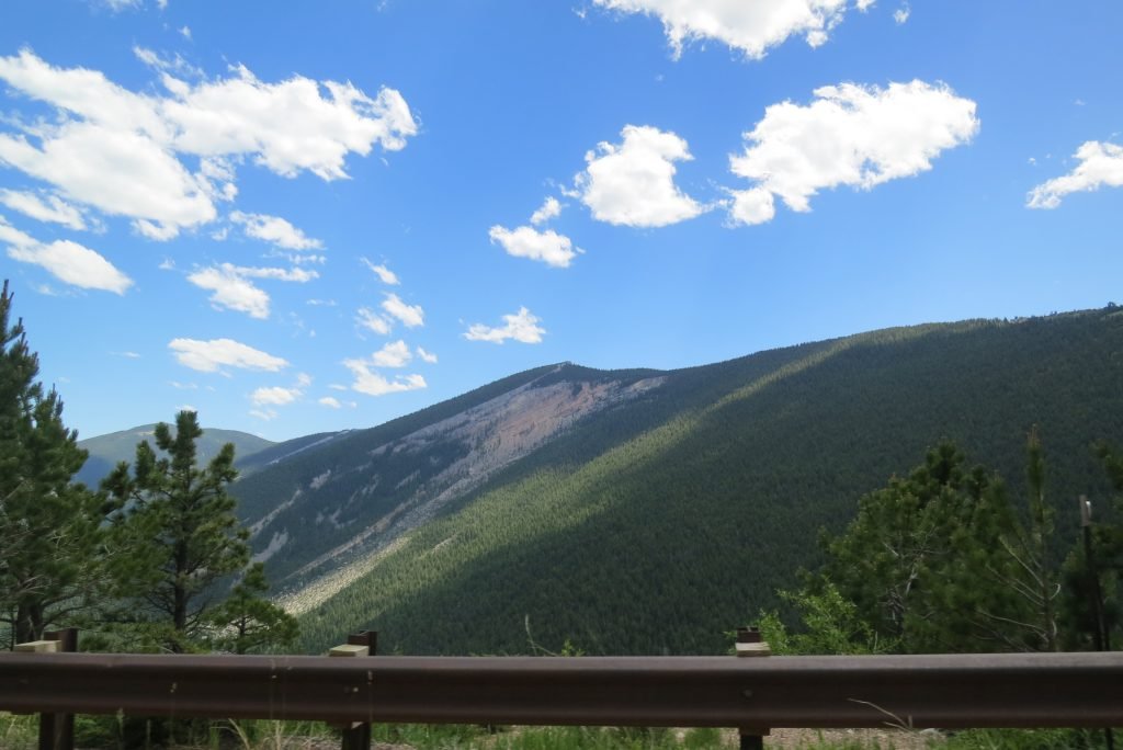
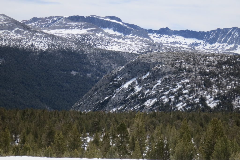
The route we had to take the next day required us to cross a high plain to a canyon that would take us down into Lyell Canyon.  The issue was that the entire trail was snow covered.  I set out after we set up camp to see if I could find the route before we had to traverse it the next morning.  My plan was to walk in the general direction of the trail and when I got to a grove of trees there would often be bare spots, and I would walk 100 yards each direction and look for pieces of the trail.  I worked my way 2 miles to the cliff above the canyon and amazingly found the spot where the trail started the switchbacks down.  The picture below shows where we had to go, the hard part was to get there without knowing where the trail was.  It’s easy to get lost in the snow since most landmarks are covered.  I demonstrated this by heading down the wrong canyon on the way back.  I knew something was wrong when I began following a creek I didn’t remember and a little panic set in when I came to an unfamiliar cliff.    Good news was that I had marked the route behind me with sticks in the snow, so I back tracked to where I’d made a wrong turn.  I made it back to camp in 3 hours (I said I’d be an hour); I was tired and even though I’d lotioned and balmed up, I managed to sunburn my lips and the tip of my tongue (my habit of hanging it out when I’m concentrating).  Scary stuff, but it worked out.

IMG_2383

The next morning we set off following my markers from the day before.  It took us a little more than an hour to reach the canyon edge.  The switchbacks were completely covered so we created our own down the mountain.  After 45 minutes or so, Preston found the trail; since we’d dropped 500′ in elevation the snow cover was much less so we could follow it.

IMG_2378

Several hours later, we popped into Lyell Canyon and hiked up to the avalanche which marks the camping boundary.  We found a spot on the hill and set up camp above the John Muir Trail.

IMG_2393

The next morning, it was a quick 5 miles to the car and now we are in Oakhurst.  Today was are planning to visit Nelder Grove where the race I’m running tomorrow traverses the giant Sequoias.   More to come….