Monthly Archives: June 2018

Preston is here

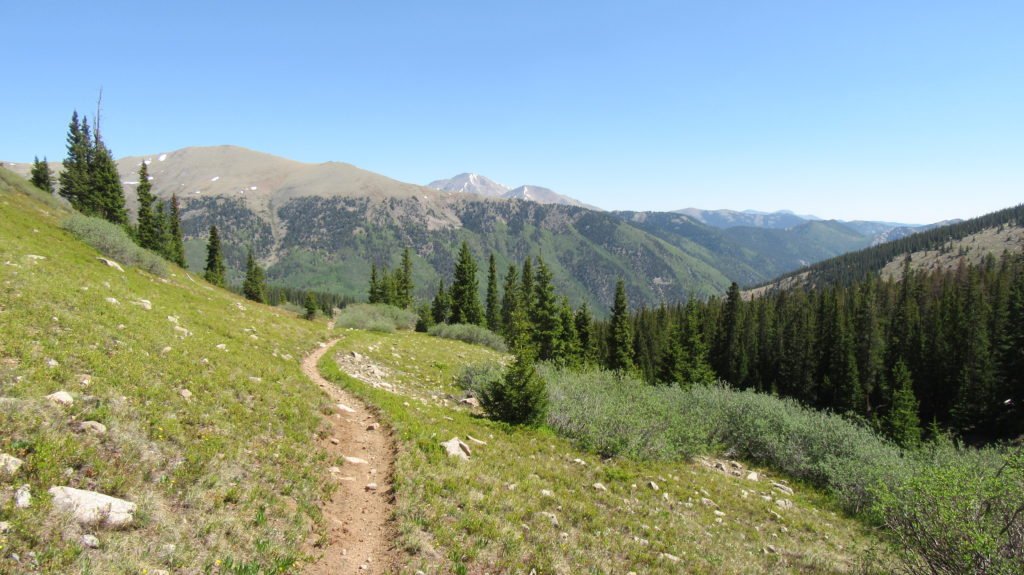
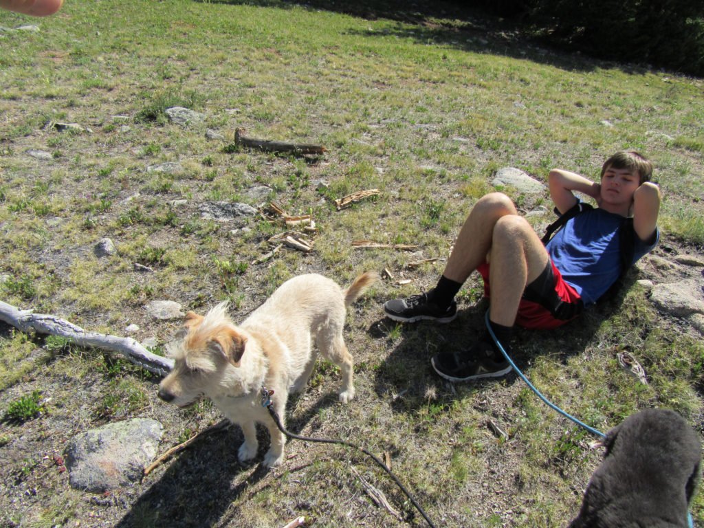
Preston got here on Tuesday and CW left on Wednesday.  Since Preston is coming from sea level, we’ve been acclimatizing slowly.  After dropping CW off, we drove to St. Elmo with the dogs and hiked 1,500 feet up to Popular Gulch.

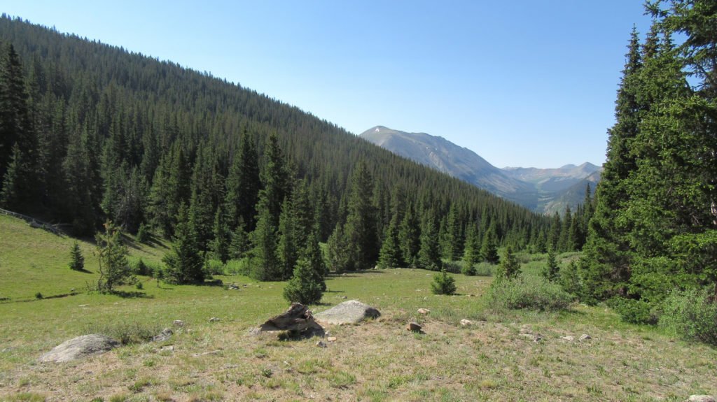
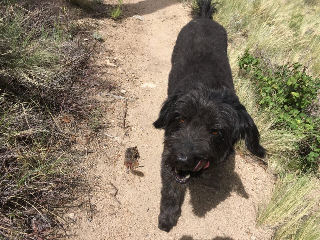
Preston was beat, but the dogs were on alert for critters.

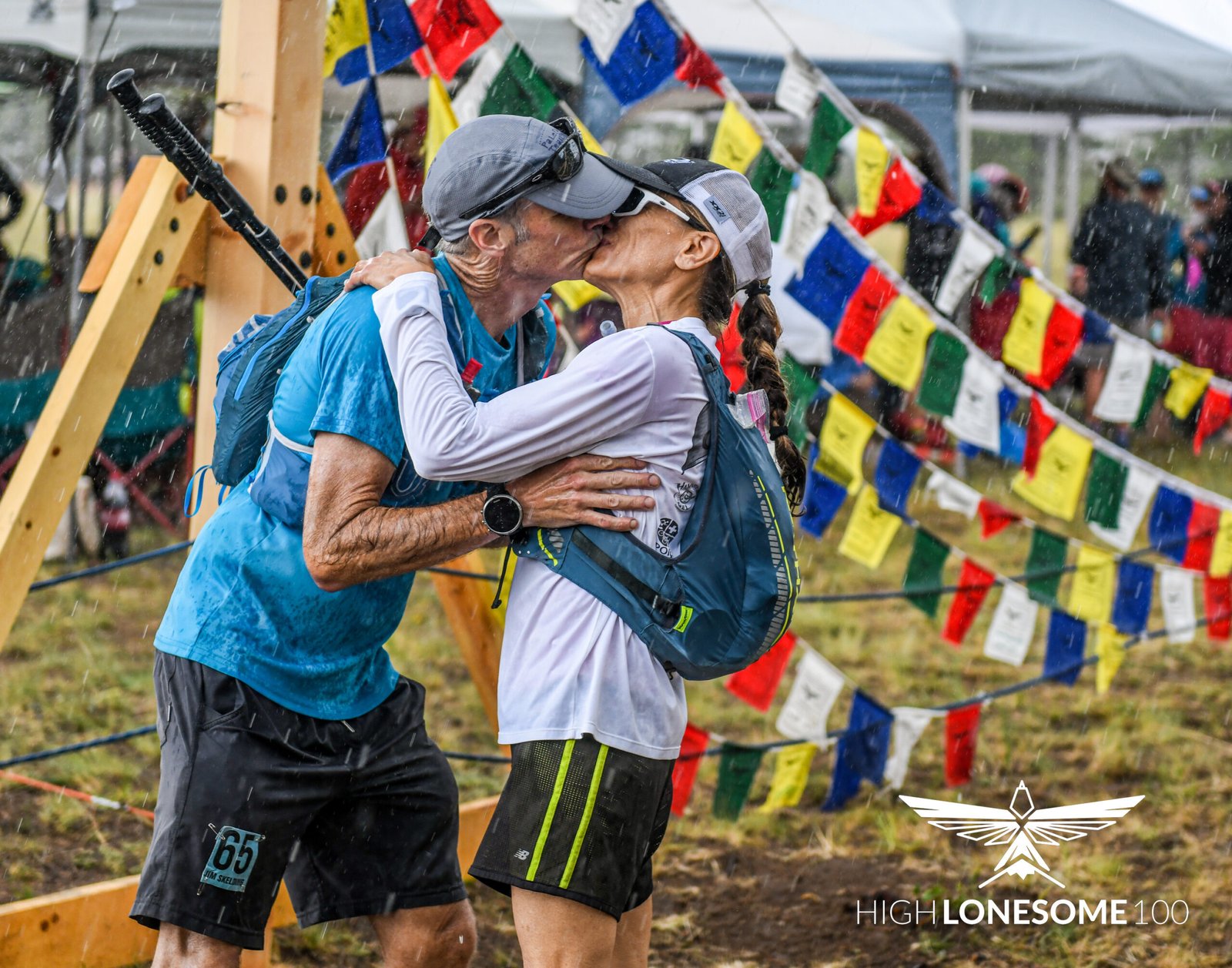
After the hike, we took the truck on the 4wd road to the Hancock Trailhead to see how back the road was since it’s an aid station on my August race.

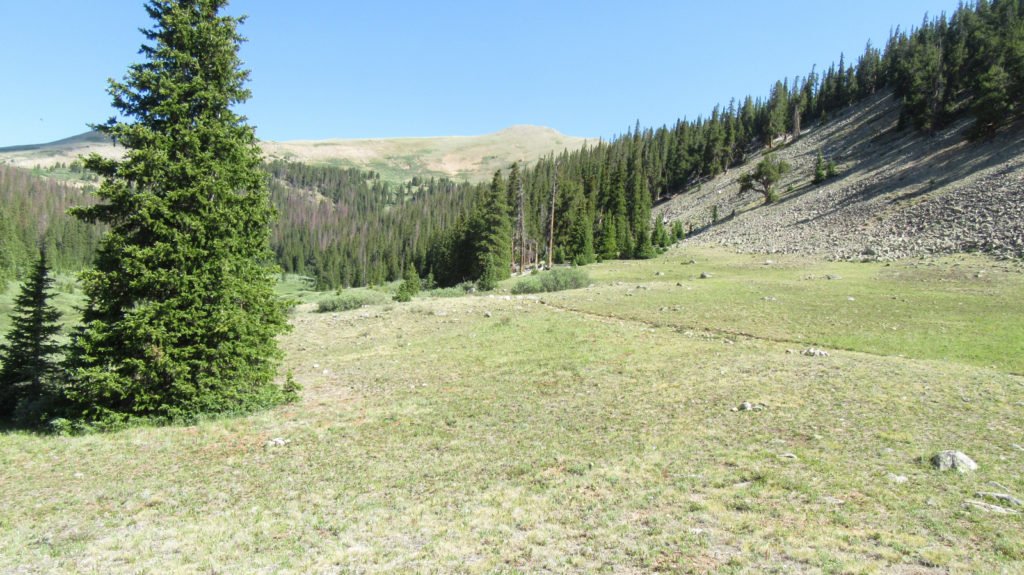
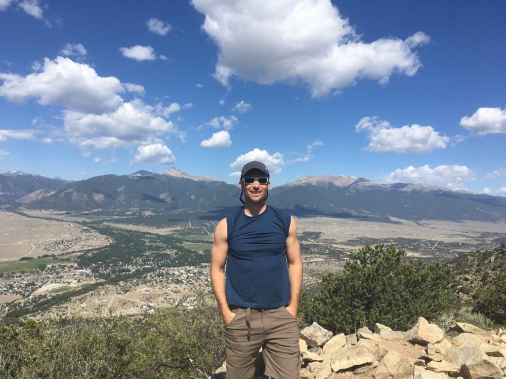
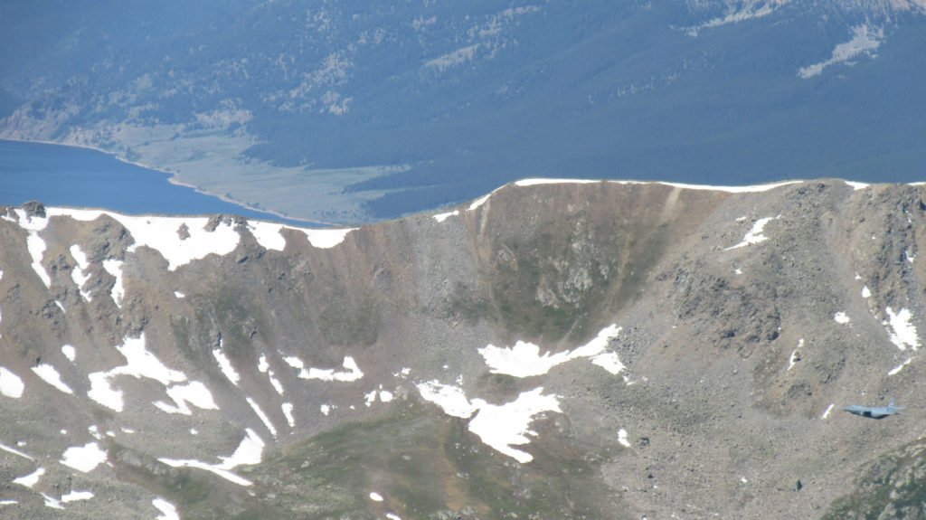
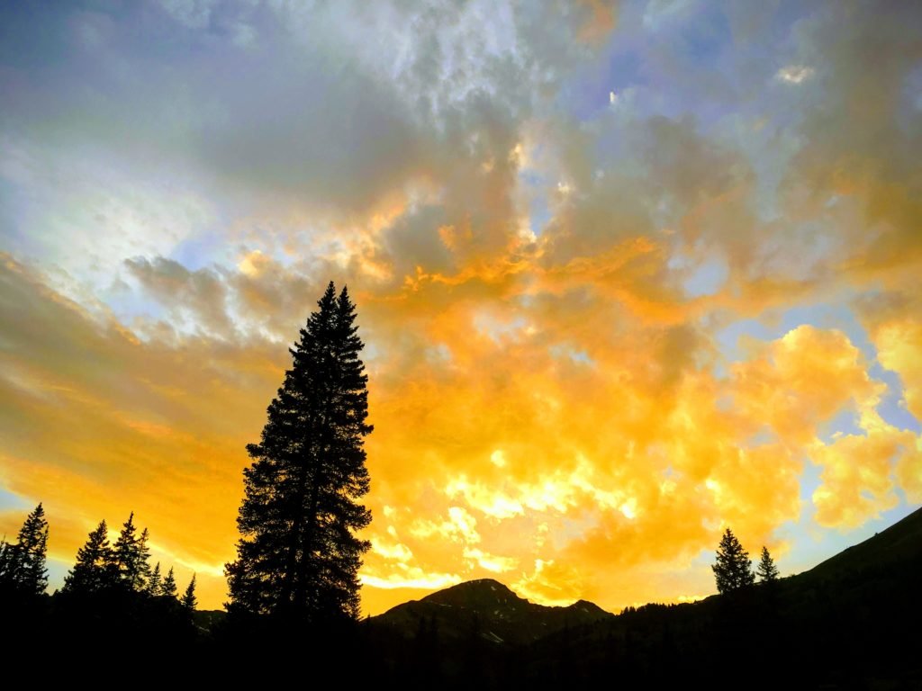
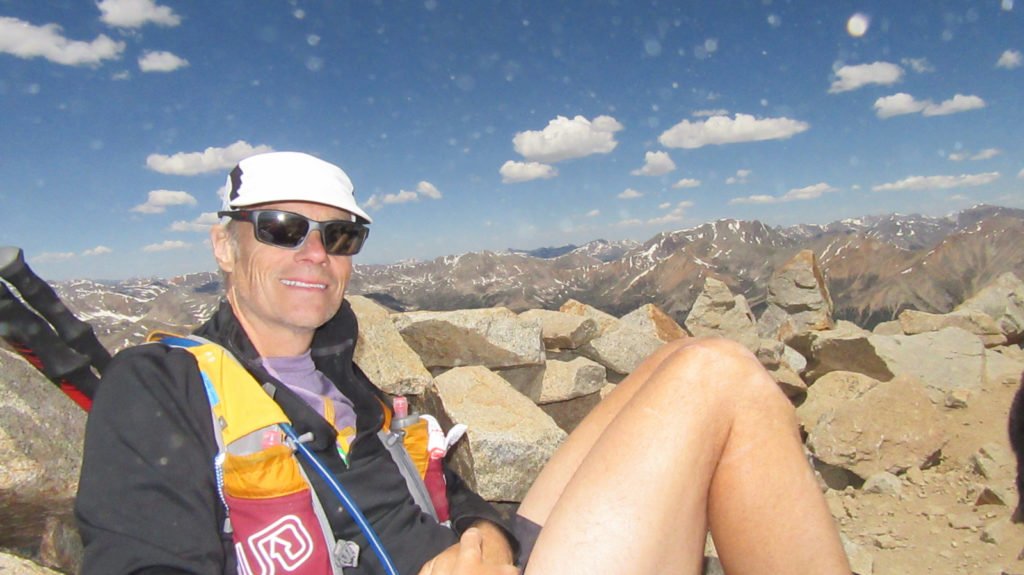
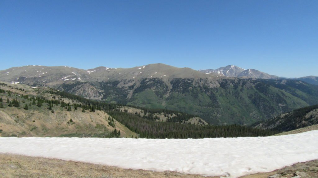
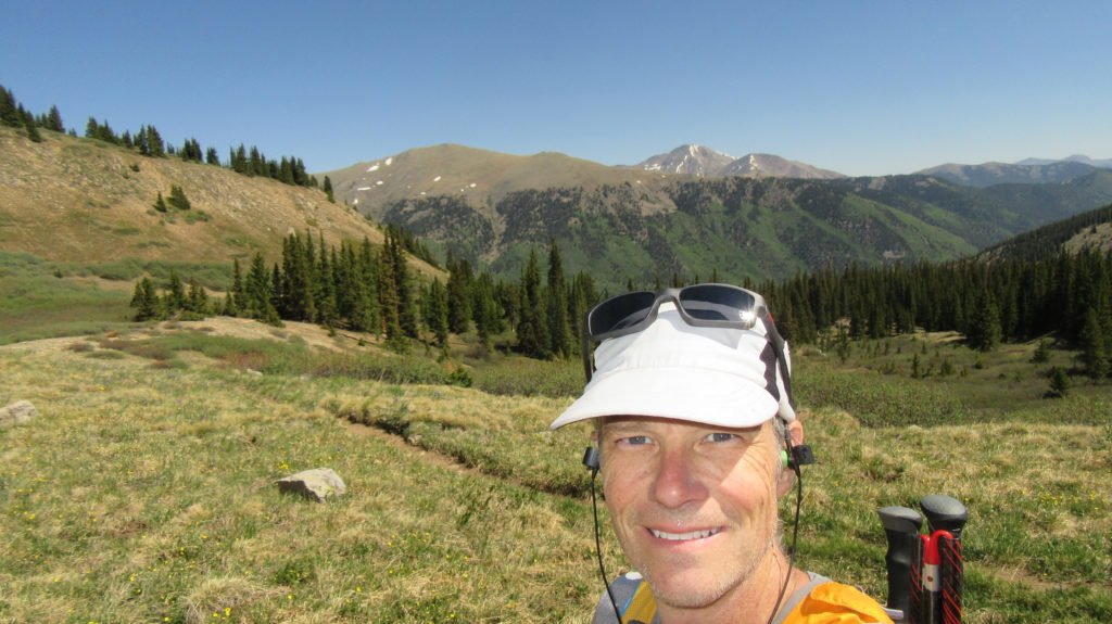
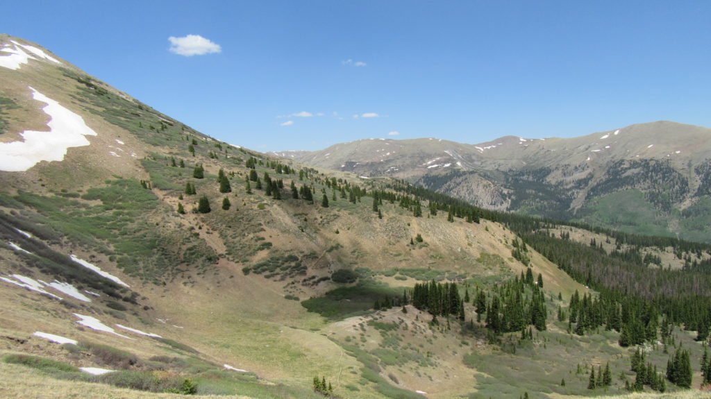
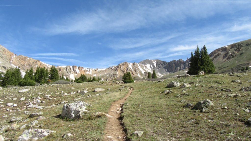
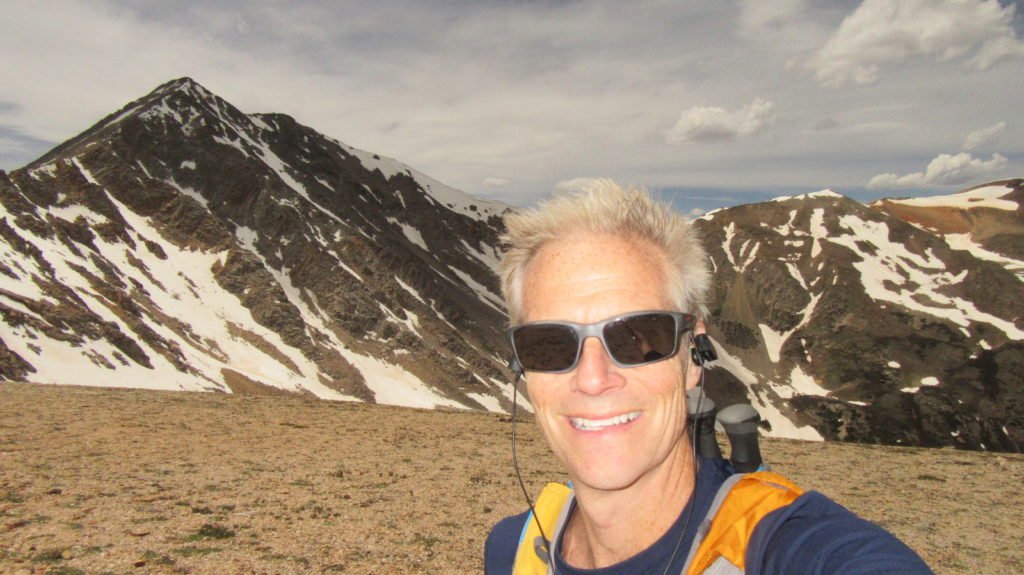
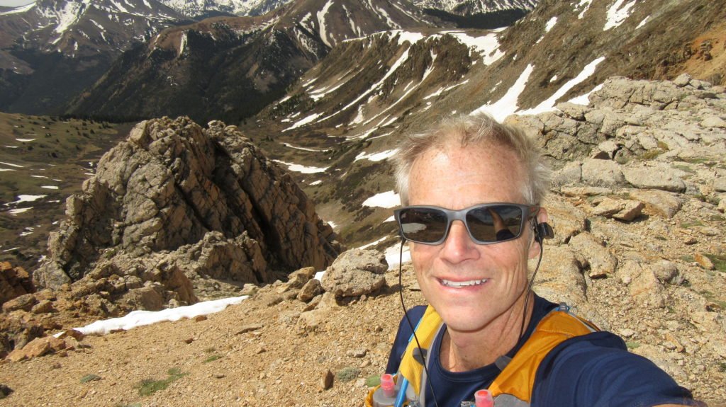
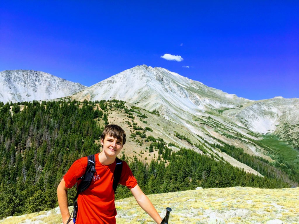
On Thursday, we hiked up Avalanche to the Mt Yale saddle.  Google did a little magic on the picture below.

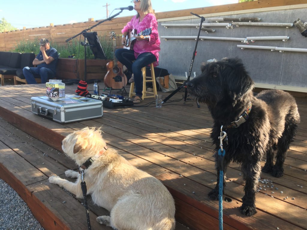
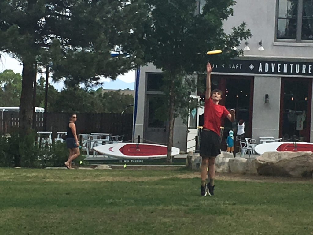
Later in the afternoon, we headed downtown to the South Main park for pizza and a game of Frisbee.

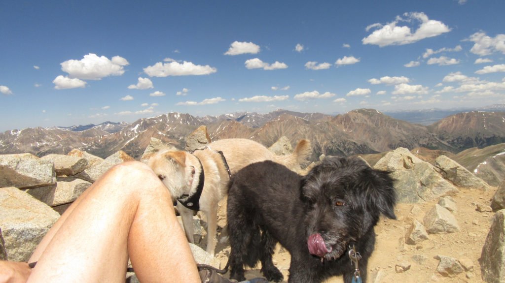
Today we are going to climb Midland hill with the dogs.


Misc stuff with CW over the weekend

We hiked the CO trail for a 4 mile out and back.  The dogs are critter crazy and Darby was fast enough to grab a Pika.  She is blood thirsty and just wants to kill them.  She gets obsessed and nothing we do can stop her from going crazy to get them.

We also did a hike up Midland Hill with the dogs.

Most nights we enjoy an outside dinner with drinks.  The dogs are usually exhausted.

This little girl was on the side of the road as I was ridding by on my bike.  She let me touch her.


Brown Creek loop

Today I set out on the 16 mile Brown Creek Loop.  The loop follows Brown Creek and Little Brown Creek to their sources, essentially circling Mt. White.  I went counter clockwise climbing towards the headwaters of Little Brown Creek.  The trail is steep, climbing 4,500ft in the first 6 miles.  Just before tree line, a small meadow appeared with an incredible amount of flowers.


The trail wound higher to above tree line, maxing out around 13,000ft.  It was a beautiful day, a little wind, but sunny.

Once I got to the top, the trail followed a forest road to the edge of a lake.  It then was a very runable single track down.   I made the journey a little longer since I took a wrong turn somewhere along the way.  After 17 miles and 4,500ft of climb, I’m happy to be heading to Whiskey Wednesday at Deerhammer Distillery.

WP Strava ERROR strava_info should be an array, received: false


Some random stuff

I thought I’d add some random stuff…  the picture below is on top of Midland hill.  I’m brave enough to let the dogs off leash on this trail since there really isn’t any place they can go.  Unfortunately, about 1 minute after I took this picture, Izzy found a bird’s nest and of course Darby pounced.  It took me a couple minutes to get the birds out of their mouths.

Tracy had to head back to Austin today but yesterday we went to Leadville.  We started climbing Mt Sherman, but the weather was not good so we turned back about a mile in.  However, we did watch some of our friends finish the Leadville marathon.  D and Mike both won entries into next years Leadville 100.

I also got a text from my friend Dave in Michigan.  When I was there this winter he showed me all the bee hive stuff he’d bought.  In just a month, check out how well the hive is doing.  Also, his garden is booming probably because of the bees.


Camping and then Mt Huron with Tracy and the dogs

On Tuesday, we all went camping in the Winfield area.  I had scoped out a spot when I hiked La Plata last week.  It required us to drive the truck about a mile and a half up the 4wd road to a meadow with a creek.

The dogs had a blast digging up every possible hole.

The sunset was incredible.  It got a little cool during the night but we slept decently until around 2am when a bunch of coyotes started howling.  Izzy was growling a bit, but Darby just shook.

We hiked up the Colorado trail to the Mt Huron trailhead.

Once we got to the basin, we decided to let the dogs run.  Darby did great, but Izzy can’t handle all the critters and wouldn’t listen.  In the picture below, you can see Izzy racing off.

Once back on the leash, Izzy did well.

Once we got to the top, there was a lot of dust.  Actions shots below of the dogs licking their noses.

Darby loves the snow – she is like a polar bear and rolls in it.

At the end of the day, we hiked 13 miles and 4,500ft of climb.


High Lonesome 2018 maps

I’ve been running and hiking different parts of the course and have found some of the trail intersections confusing.  To help out, I’ve been using some maps that I’ve created from Caleb’s GPX file.  I’ve linked to all the maps below plus I’ve added some info on a few apps that allows you to carry offline versions of the map on your phone.  If you need help, just email me at: jim@skelmo.com

Link to the profile as a PDF:  HL_profile_2018_adj

Caltopo map if you want to create your own maps.

Geospatial course maps allow you to view your location on a PDF document on your mobile device without having a cell signal.

  • If you use the AllTrails app, I’ve created a customer map that can download by clicking the picture or link below.

Click here for the All Trails map

  • You can install the free Avenza app (iOS or Android) for viewing geospatial PDF course maps. Once you have the Avenza app installed, download and add any or all of the geospatial PDF course maps.  I’ve found that keeping the maps in a DropBox account is the easiest way to transfer to your device.  One recent change in the app is that the free version limits you to 2 active maps.  To make it easy, I’ve created multiple maps giving detail of the entire course.

This link will give you a NE,NW,SE,SW map for the different part of the course.  The advantage of using these is that they have a much higher resolution.

This link will give you an entire map of the course.  Note that you can use this to follow the general direction of the course, but it is not high enough resolution in most cases.

Out and back

Today I attempted the out and back that is on the High Lonesome race I’m doing in August. It starts in the ghost town of St Elmo and follows a trail due North over Laws Pass. The pass is 12.3k feet and separates the drainage’s of Cottonwood and Chalk Creeks


It’s about 4 miles to the top of the pass and about 2,400ft of climb.  It’s another 3 miles down the other side descending about 2,100ft.  I then turned around and went back.

It took me about 4 hours and 40 minutes round trip.  Beautiful day, but tiring.

La Plata

On Wednesday, I drove back to Winfield and went up the other 4wd road to the trailhead of La Plata.  The approach is a short hike that follows Clear Creek through a gorge.  It flattens out into a beautiful valley that ends in a box canyon.

The trail climbs the canyon wall to a very long ridge that has many false summits.  The ridge slowly climbs over 2,000 ft to the summit of La Plata.

There were so many different type of flowers on the ridge.

La Plata is the 5th highest peak in the continental US at 14,360 ft.

It was another sunny and warm day and the neighbors were out enjoying the weather.

I got a little lost in the marshy area of the trail where you couldn’t tell if it was the trail or a stream.