Last Sunday, Preston and I were joined by two of our friends, Brad and Wes, for a backpacking trip in Yosemite. Our intention was to do and extended version of the Vogelsang loop that we did last year (http://www.everytrail.com/guide/lyell-canyon-vogelsang-loop); but we had to change our plans.

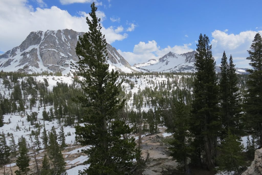
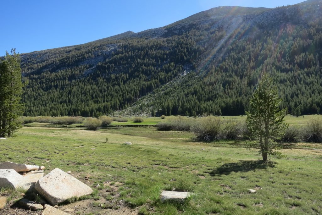
The Sierra’s received a lot of snow this winter and the trail became obscured just shy of the first pass we had to climb (Tuolumne). We decided to call it a day and set up camp in a dry spot. Preston and I then took off to see if we could find a way across the pass that didn’t include us wading through a very swollen creek. The first picture below is from our first campsite, the second is Preston scaling a tarn to see if we could find Booth Lake on the other side of the pass.
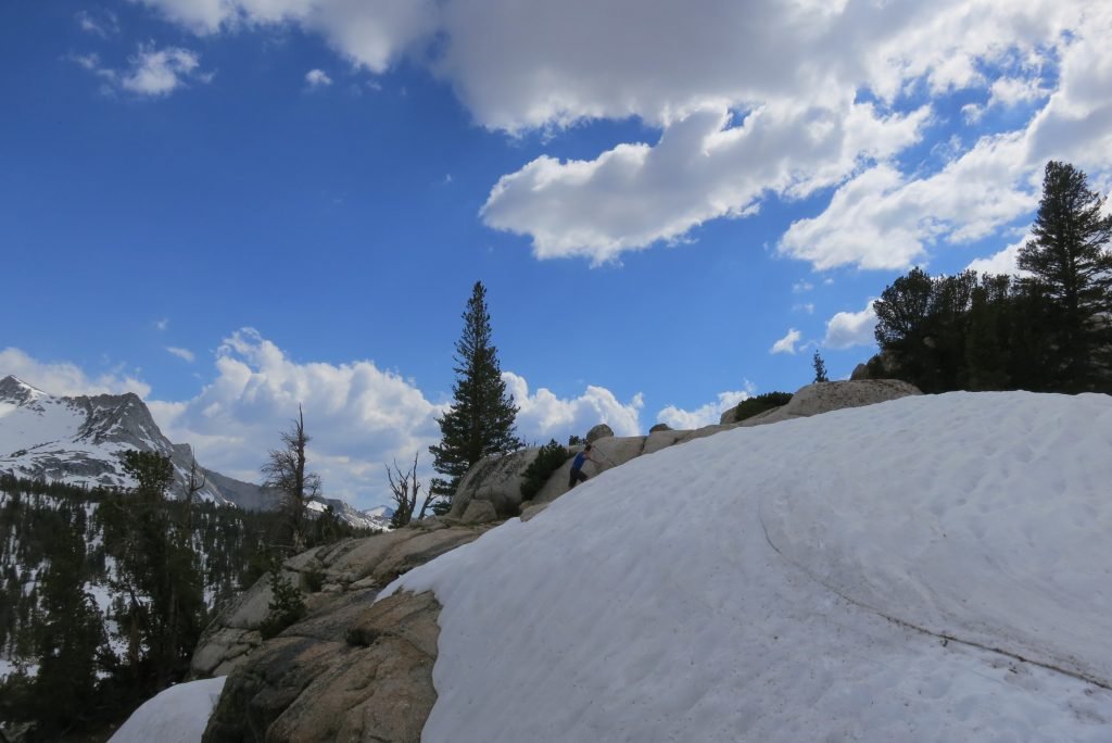
We worked our way around the canyon and found the lake. It was less than 2 miles from the campsite, but with 36″ of snow base, getting there was treacherous in the loose snow of the late afternoon.
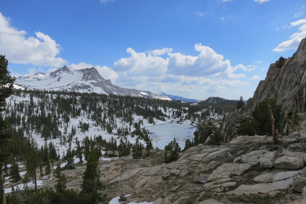
The next morning we set off while the snow was still frozen and hiked the distance in a little over an hour. We found a clear spot right on the lake shore next to a stream feeding the lake.
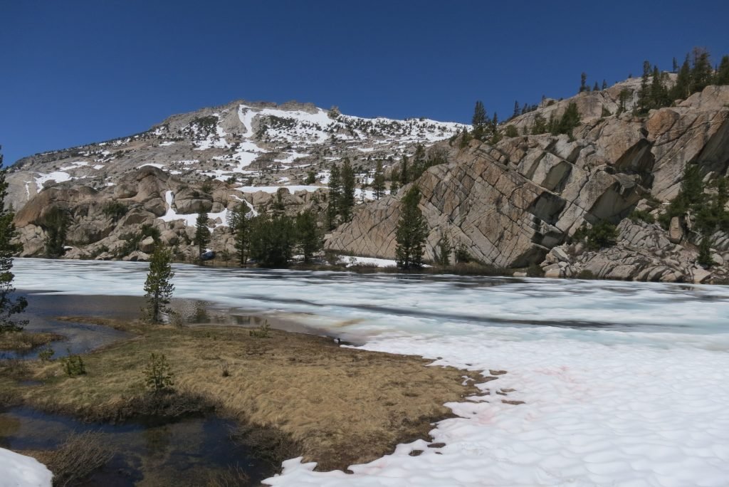
I broke out my fly rod and while casting in the wind wasn’t that easy for a beginner like me, I could drop the fly and line in the stream and let it drift out into the lake. I hit pay dirt twice and we had a little snack of trout.
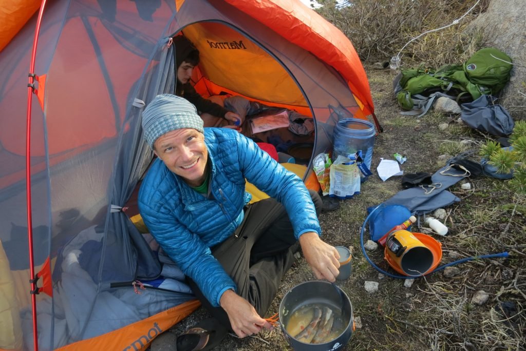
We shared our campsite with a very brave Marmot. He was curious of everything and tried multiple entry points into our camp.

The next morning, the lake had frozen over again and everything was still. It got well below freezing that night so it took a while to get moving in the morning.
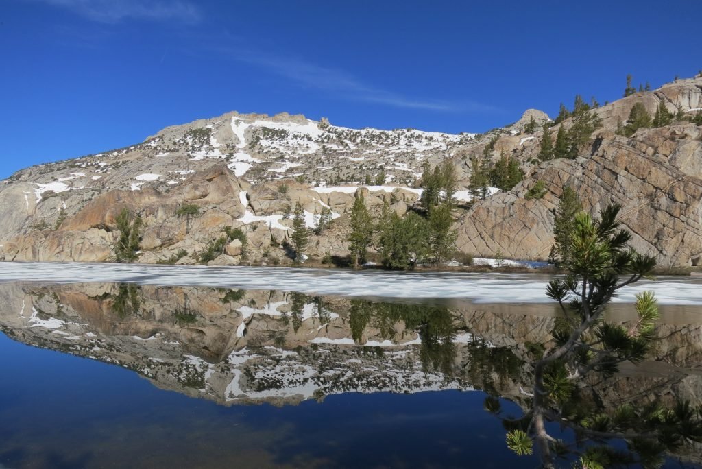
Our goal for the day was Evelyn Lake. The lake is fairly close, but with the heavy snowfall, there was no trail to follow. Preston and Wes had explored the woods above the lake the day previous and found one of the trails, so we had an idea of where we were on the map. We hiked to that trail in the morning and then Preston and I set off without packs up the hill to try and find the other trail that would point us in the direction of the lake. We found the trail about 200′ above. It was a grind as we switch backed the steep hill with backs.
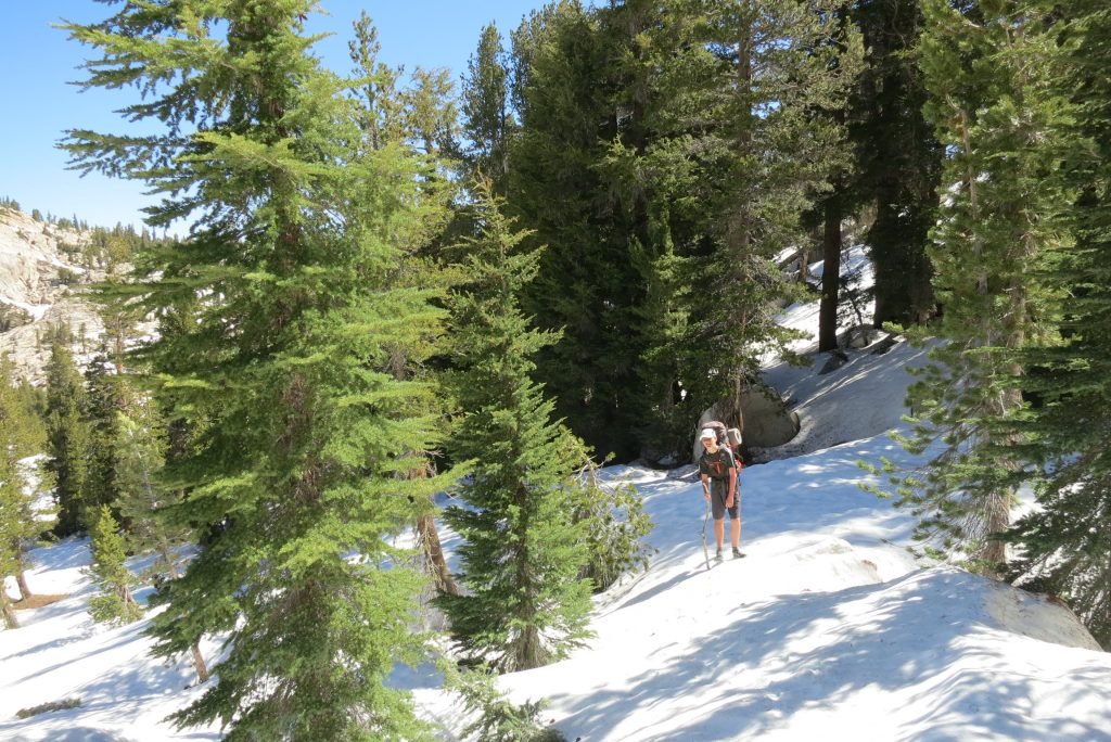
When we got to the lake, we had to cross a large plain that was filled with snow covered creeks. There were many snow bridges that we had to cross. Its a little nerve racking knowing that the snow could collapse under your weight onto the rocks and water beneath, but we were careful and made it without incident.
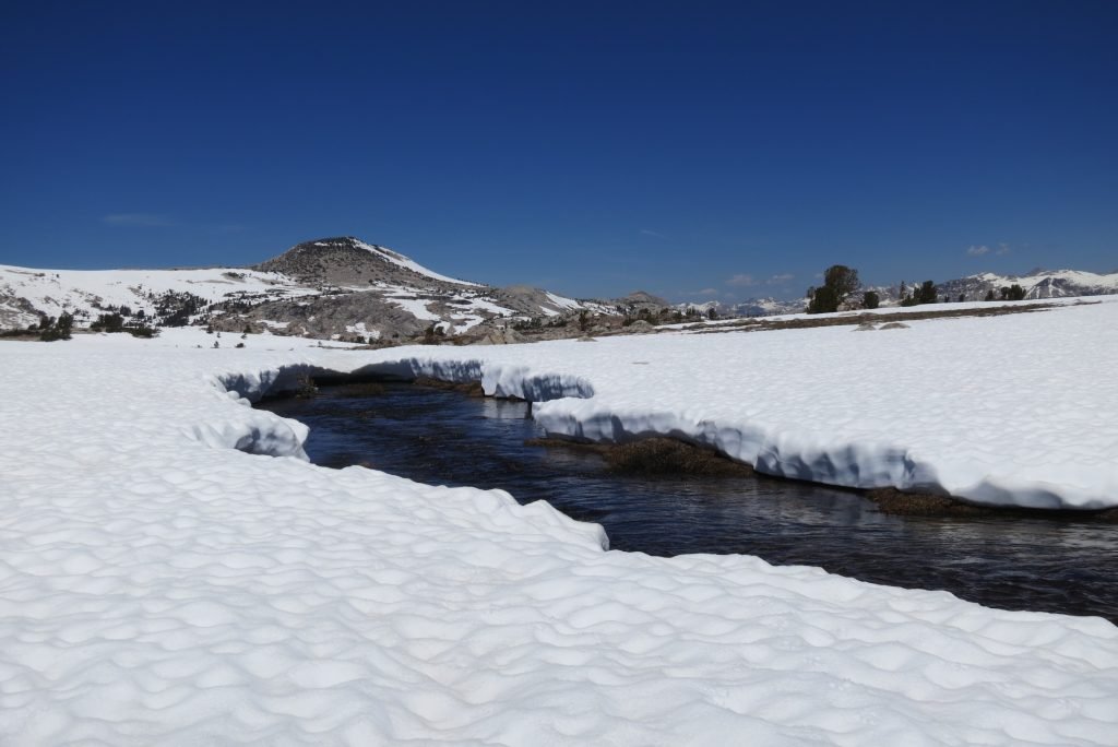
The lake was mainly iced over, but it was a barren, beautiful landscape. We camped in the same small grove we had camped in last year.
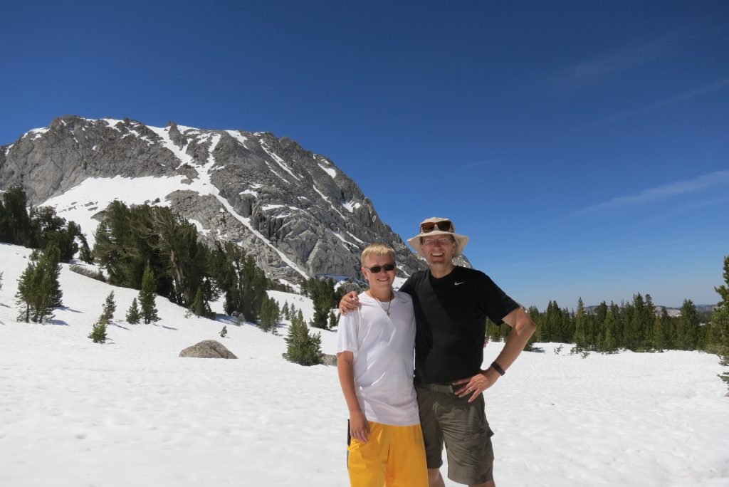
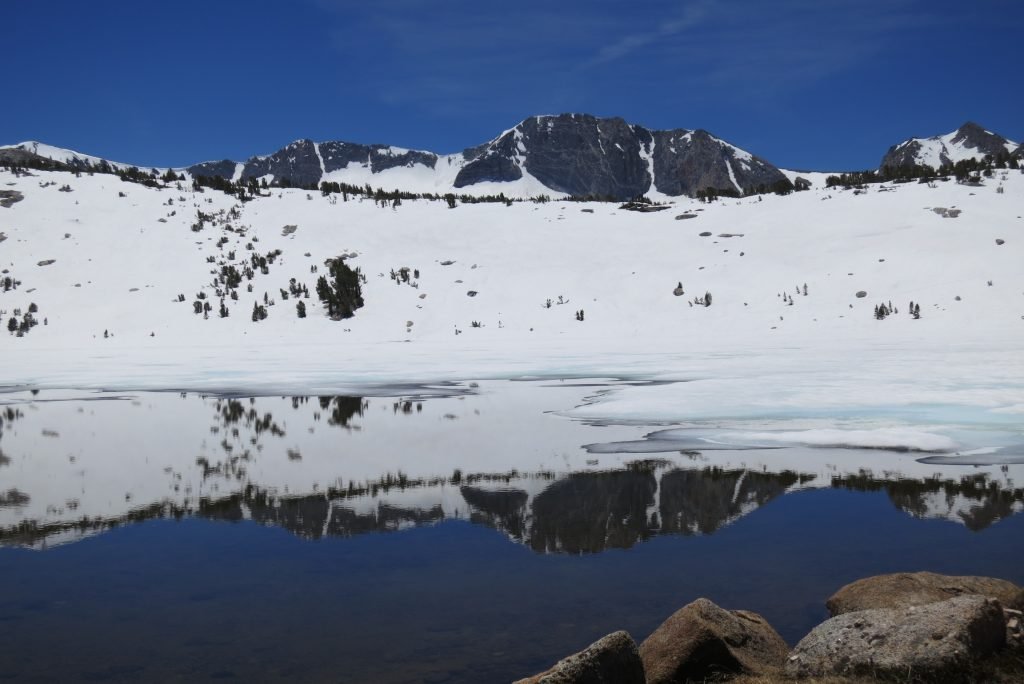
The route we had to take the next day required us to cross a high plain to a canyon that would take us down into Lyell Canyon. The issue was that the entire trail was snow covered. I set out after we set up camp to see if I could find the route before we had to traverse it the next morning. My plan was to walk in the general direction of the trail and when I got to a grove of trees there would often be bare spots, and I would walk 100 yards each direction and look for pieces of the trail. I worked my way 2 miles to the cliff above the canyon and amazingly found the spot where the trail started the switchbacks down. The picture below shows where we had to go, the hard part was to get there without knowing where the trail was. It’s easy to get lost in the snow since most landmarks are covered. I demonstrated this by heading down the wrong canyon on the way back. I knew something was wrong when I began following a creek I didn’t remember and a little panic set in when I came to an unfamiliar cliff. Good news was that I had marked the route behind me with sticks in the snow, so I back tracked to where I’d made a wrong turn. I made it back to camp in 3 hours (I said I’d be an hour); I was tired and even though I’d lotioned and balmed up, I managed to sunburn my lips and the tip of my tongue (my habit of hanging it out when I’m concentrating). Scary stuff, but it worked out.
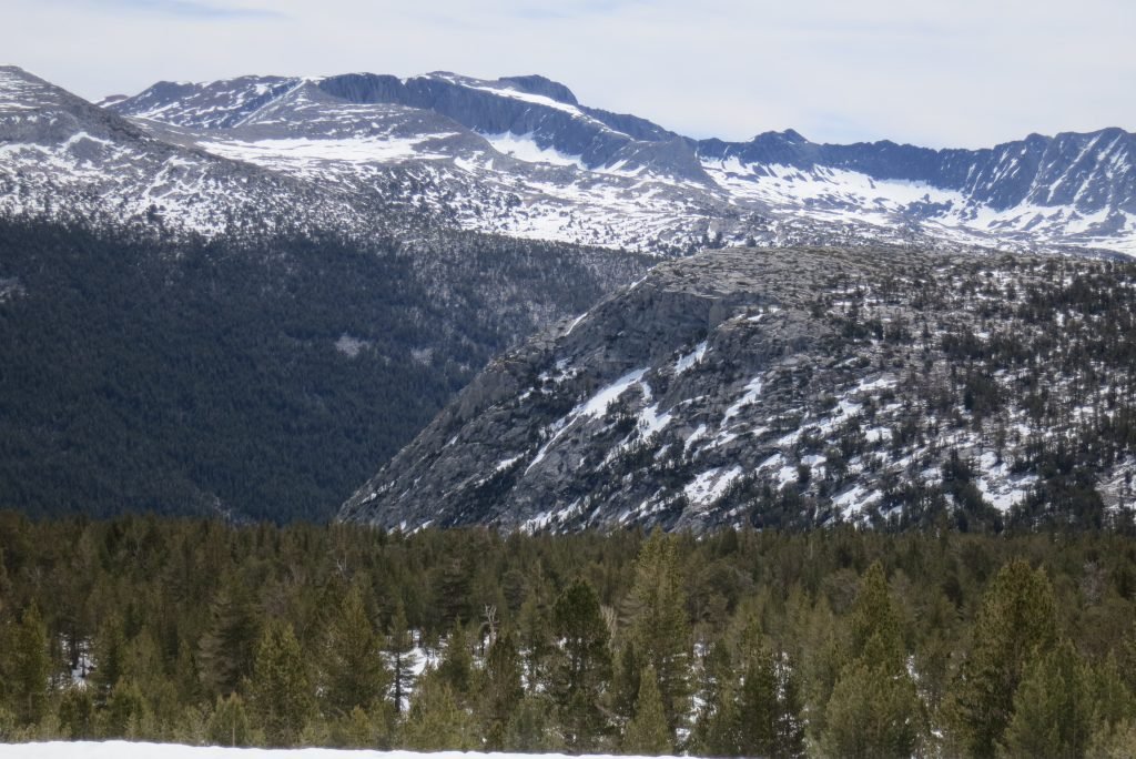
The next morning we set off following my markers from the day before. It took us a little more than an hour to reach the canyon edge. The switchbacks were completely covered so we created our own down the mountain. After 45 minutes or so, Preston found the trail; since we’d dropped 500′ in elevation the snow cover was much less so we could follow it.

Several hours later, we popped into Lyell Canyon and hiked up to the avalanche which marks the camping boundary. We found a spot on the hill and set up camp above the John Muir Trail.
The next morning, it was a quick 5 miles to the car and now we are in Oakhurst. Today was are planning to visit Nelder Grove where the race I’m running tomorrow traverses the giant Sequoias. More to come….
