Category Archives: Hikes

Colorado Trail 2017

I am heading back to the Colorado Trail but I have company this year.  The plan is for me to drive the dogs to Denver and have Tracy fly up to meet us.  I’ll hike for 3-4 days and then meet Tracy and the dogs at a road and take a day off.  Also, CW will beb joining me for the first section.

On Tuesday, the dogs and I took off in the truck for the 1000 mile drive to Colorado.  We left early and our goal was to reach Amarillo and perhaps sleep in Palo Duro Canyon State Park.  The dogs did really well – Darby slept in both beds while Izzy would sleep on the seat.  I’d stop every couple of hours and take a 30 minute walk with them.  I loaded the truck up with food and a cooler so I’d just munch on stuff I brought along.

We made it to Palo Duro in the middle of the afternoon but the campground was full and they wouldn’t let me just sleep in the car.  Since I’ve been there many times before, I thought it would be nice to take the dogs on a long hike to wear them out.  We started towards Lighthouse Rock, but it was over 90 degrees and the little bees were enjoying all the flowers and my legs.  I changed our direction and took them for a couple miles along the creek.  They were really eager at first, but the sun and heat quickly slowed them.

Darby in the car and Izzy inspecting a tree in Palo Duro.

We left the park and kept going through Amarillo looking for a quiet spot to pull over and sleep in the truck.  I was getting worried since all I saw were flat lands and large ranches until we pulled into the town of Dumas, TX.  I spotted what looked like a high school and drove toward it.  It turned out to be a park, many sports fields,  and a pool.  After dinner and many laps around the park, we found a quiet place between fields and set up for sleeping in the truck.  Darby is really easy and sleeps on her bed, but Izzy kept creeping off and wanted to sleep on me….

The field where we camped and a view of the dogs in the truck

The next night we made it to Limon, CO and stayed at an Econo Lodge.  That is where the dogs discovered prairie dogs and they tried to digs them out.

Tonight we are in Buena Vista at a nice little AirBnB Tracy found.  We just had an awesome dinner and took a walk to the park.  Tomorrow we leave for the CO trail crossing of HWY 50.  Tracy and the dogs will walk with us for a couple hours as we climb towards the Continental Divide.  CW and I will spend the next two days hiking to our pick-up spot on HWY 114. Then I’ll take a day off with Tracy and the dogs and CW will start his journey home with a bus ride back to Denver.

Over the next 3 weeks, Tracy and I will repeat this 4 more times.  The map below shows the trail in red.  The red dots are the pick-up places.  The houses are the different places we are staying and the teal hikers is a yurt that Tracy is hiking with the dogs to stay with me one night.

The list below is our schedule…


Checking out Los Alamos

We had a busy day yesterday.  I got up at first light and headed up to the ski resort.  It was chilly and there had been a dusting of snow from the night before.  My goal was to hike up the section from the lodge to the summit of the mountain and then run down the cross country ski road back to the car.

The trail heads up the Aspen double diamond ski run.  The first picture is my perspective hiking up, the second picture is of the same run from later in the afternoon further off in the distance.

It took me about 30 minutes to climb the 1,000 feet.  Once on the ridge, the course turns right to the summit.  There is another 200 foot climb straight up a hill.

The trail circled around to the high point which overlooks the Valles Caldera.  “One million years ago a volcanic eruption in New Mexico’s Jemez Mountains created the Valles Caldera, one of seven super volcanoes found in the world.”

The race heads down into it for 10 miles or so.  The trail headed down hill to the back of the mountain, retracing the route we hiked the day before.  I turned off on the cross country trail and ran back to my car.  Later in the afternoon, Tracy and I went back to ski resort and hiked the other direction to the entry point of the Caldera.

The trail follows a ridge away from the resort.  It gives a great view of the edge of the plateau and of the runs on the resort.  It then heads through a small canyon and open ups to a meadow. (that’s Tracy in the distance on the trail)

This is the edge (more like a cliff) of the Caldera.  It’s really steep and this year, I have to climb it which should be easier than going down it last year.

After showering, we spent a few hours at the Science museum.  It covers the creation of the town of Los Alamos to what the lab does today.  It has some amazing pieces of history in it.

Lastly, we walked to a late dinner and saw a beautiful sunset over the far mountains.

The race is tomorrow.  It starts at 5am and my goal is 15 hours.  I did 16 last year, but the weather is going to be perfect next year so I have no excuse of hitting my goal.


Los Alamos

We are in New Mexico this week.  I’m running the Jemez 50 on Saturday so we came in early to get use to the altitude and hike in the mountains.

The town is very walk-able and we’ve enjoyed several great meals

We got up early and started hiking up the backside of the ski resort.  The weather was perfect but a chilly 35 degrees when we started.

We ended up climbing 2,500 feet and hiked for close to 10 miles.  I’d call this amazing, considering Tracy had a hip replacement less than two months ago.


Once we got to the top of the mountain, we had to veer off the race course.  Going down a double black diamond didn’t seem like a good idea on a recovering hip.

A little time off before returning to Colorado and the Video

First and foremost, here is 4 weeks in Colorado edited down to 12 minutes

Last night, Preston and I went to the Goo Goo Dolls and Collective Soul concert.  It was a lot of fun since it was on the grass outside the Long Center.  However, next time we’ll save the ticket price and sit on the grass a auditorium shores which is just 100 feet away.

img_0282

img_0287

img_0286

I’m heading back to Colorado this week for the 103 mile Run Rabbit Run race.  More info to come in the upcoming days.

A little lay over 

Since I’m typing on my phone this will be quick.  I’m ahead of my schedule and did a 22 mile day to Mt Princeton Resort. I’m waiting for my laundry to be done and enjoying a rum and coke.  Here a bunch of random pictures from the last few days.

Here is the combined segment for the last 200 miles of the hike:

WP Strava ERROR strava_info should be an array, received: false

Denver to Leadville on the Colorado Trail

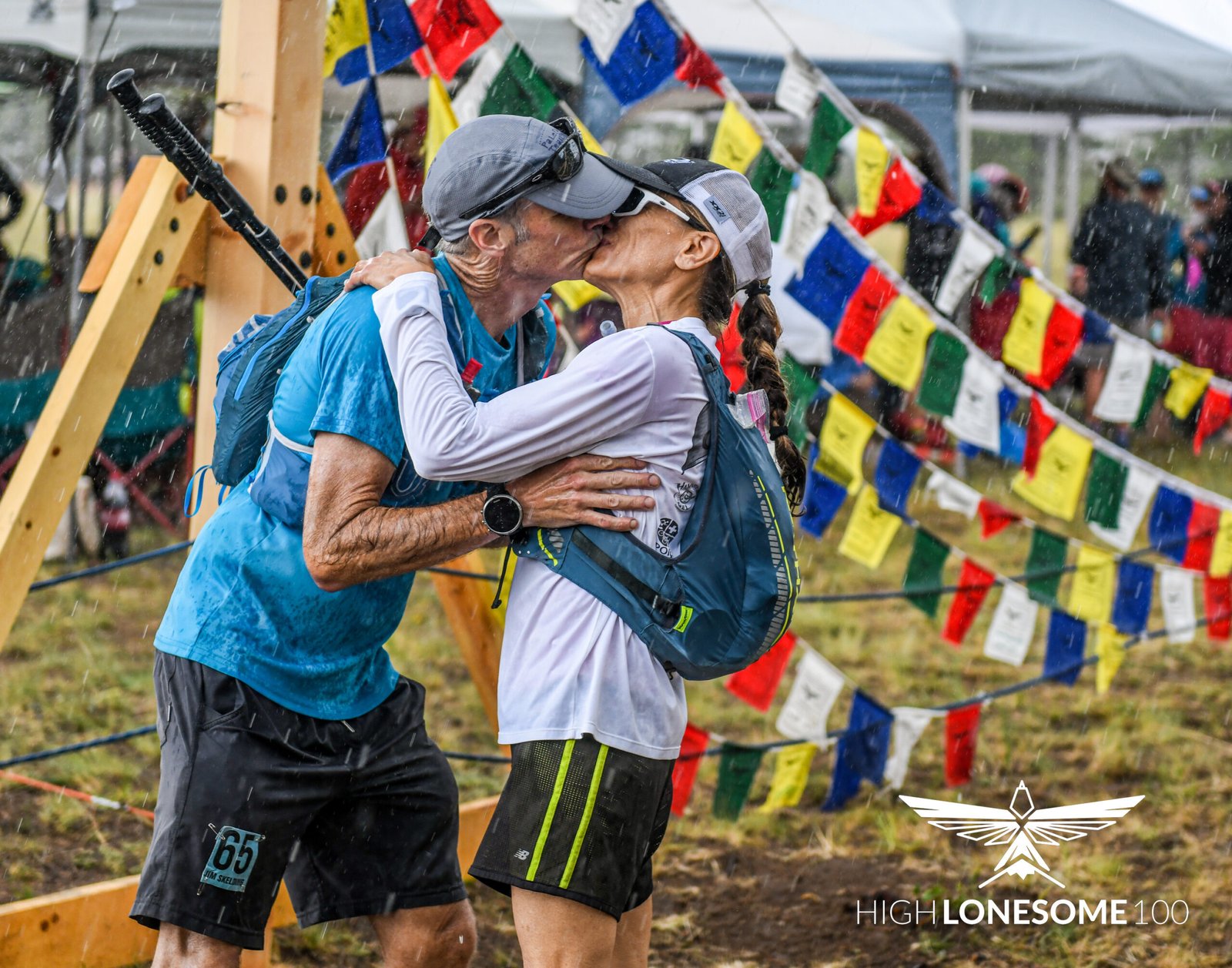
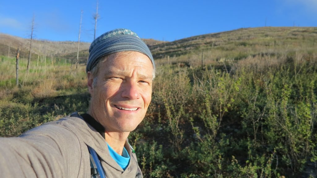
I downloaded my watch and combined the segments.  I linked to the Strava information below.

WP Strava ERROR 401 Unauthorized - See full error by adding
define( 'WPSTRAVA_DEBUG', true );
to wp-config.php


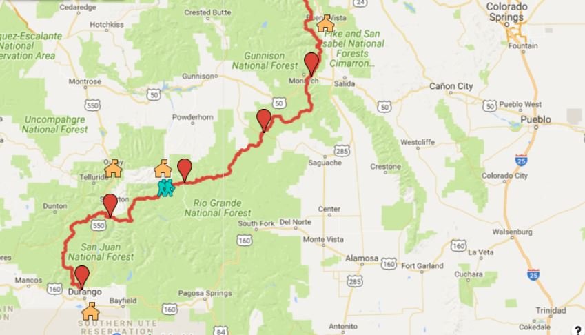
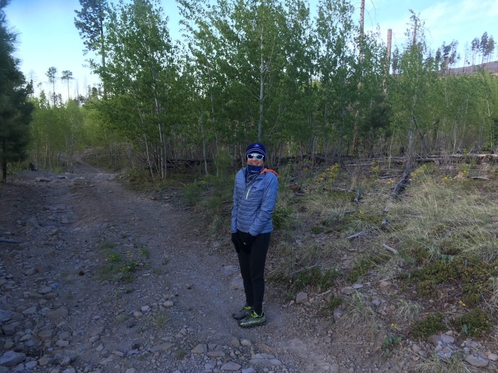
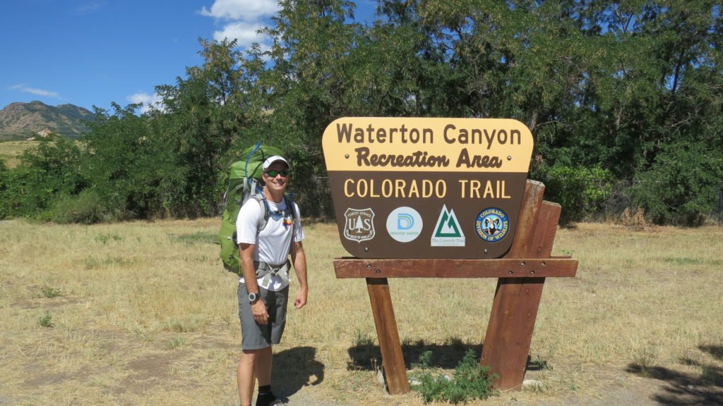
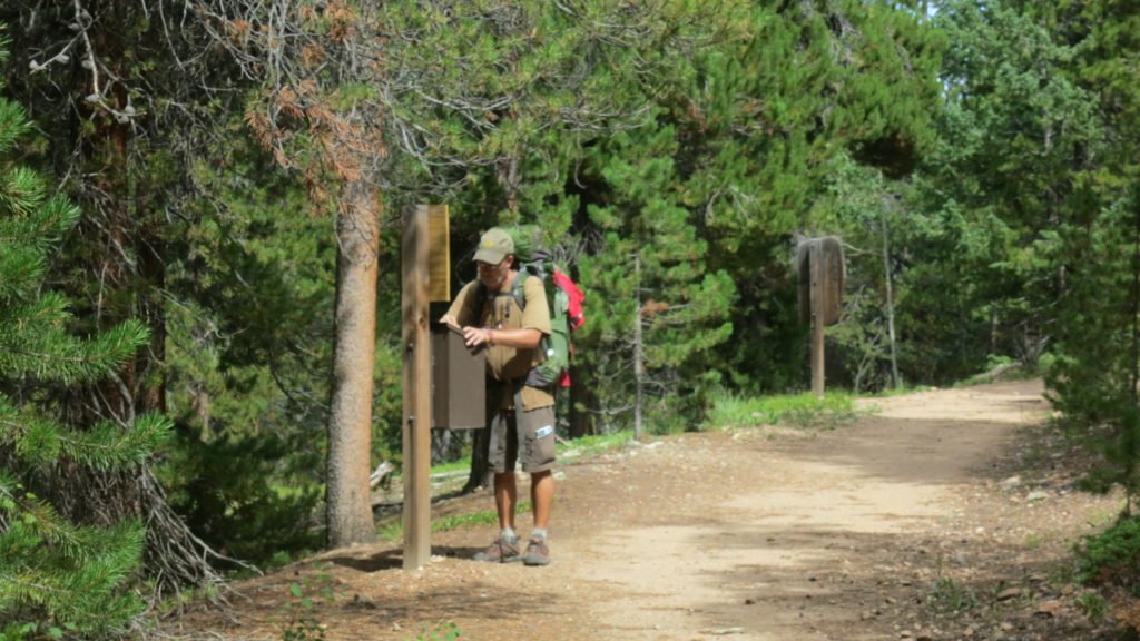
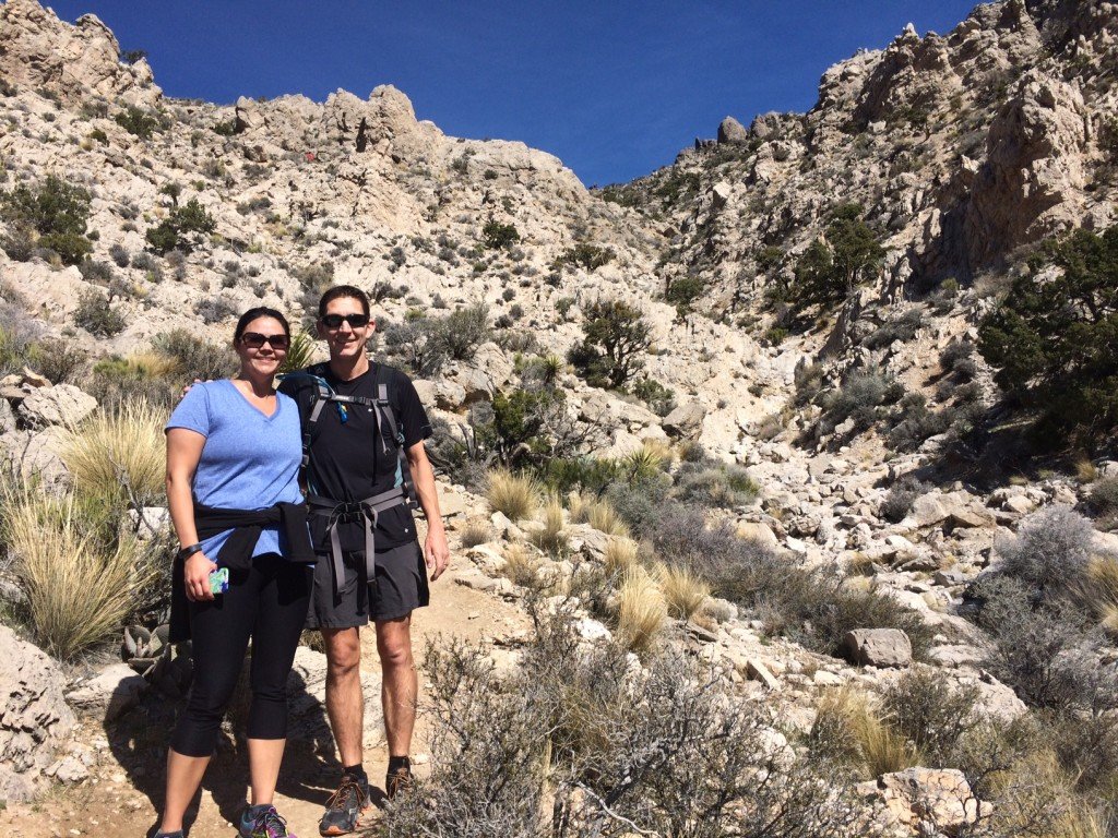
My flight landed in Denver on Tuesday before 8am. I was quickly able to get my bag and catch the train from the airport to downtown. My friend, Heidi, met me at Union Station. After breakfast and a stop at REI, she dropped me at the trailhead. (Thank you Heidi)

IMG_2771

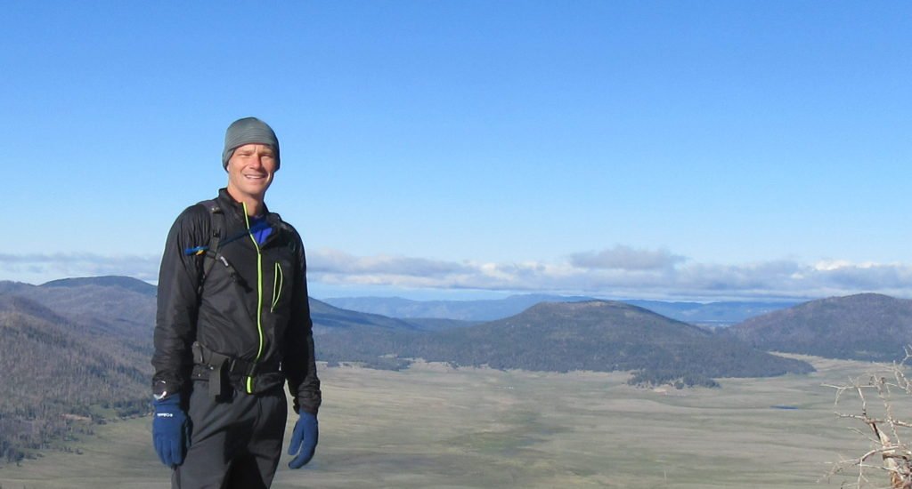
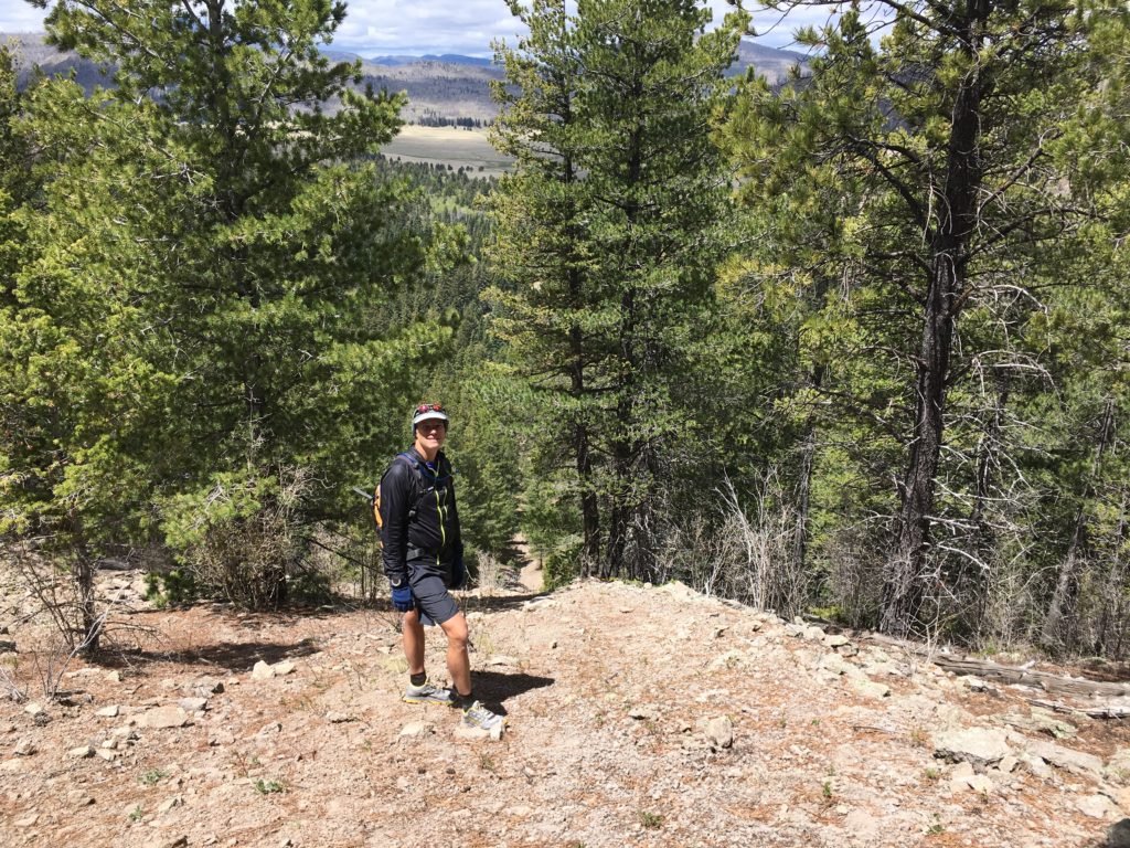
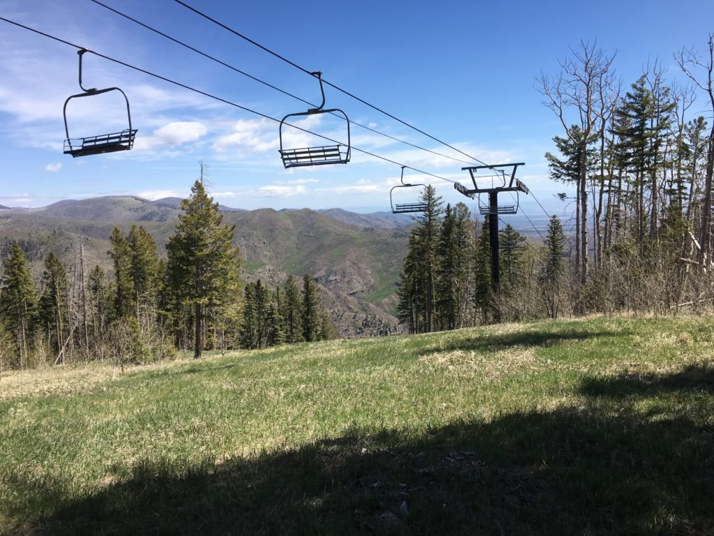
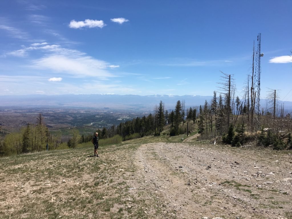
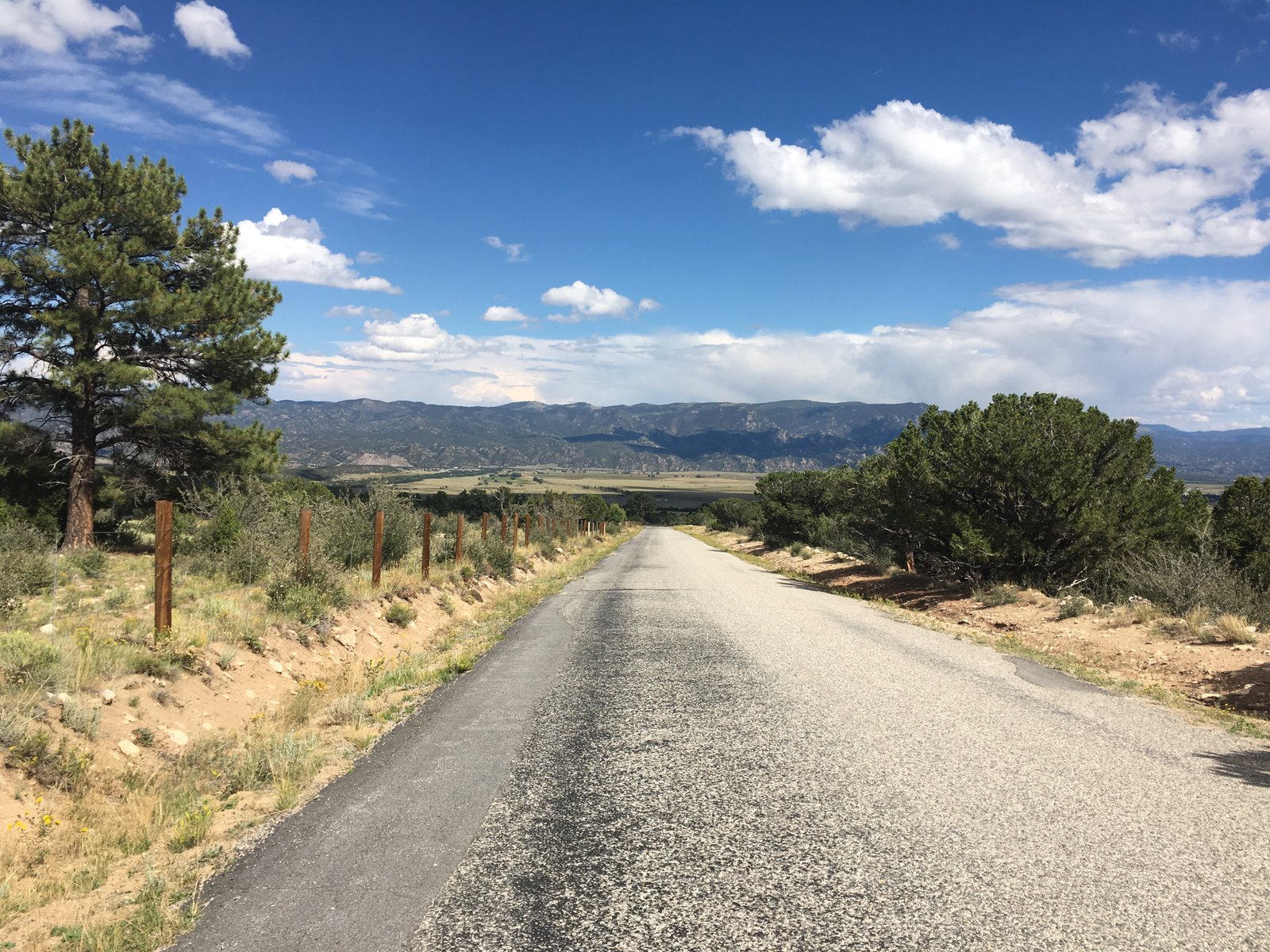
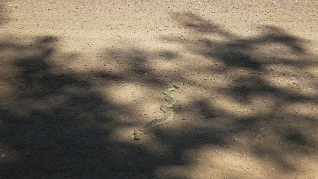
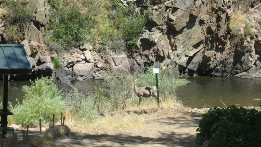
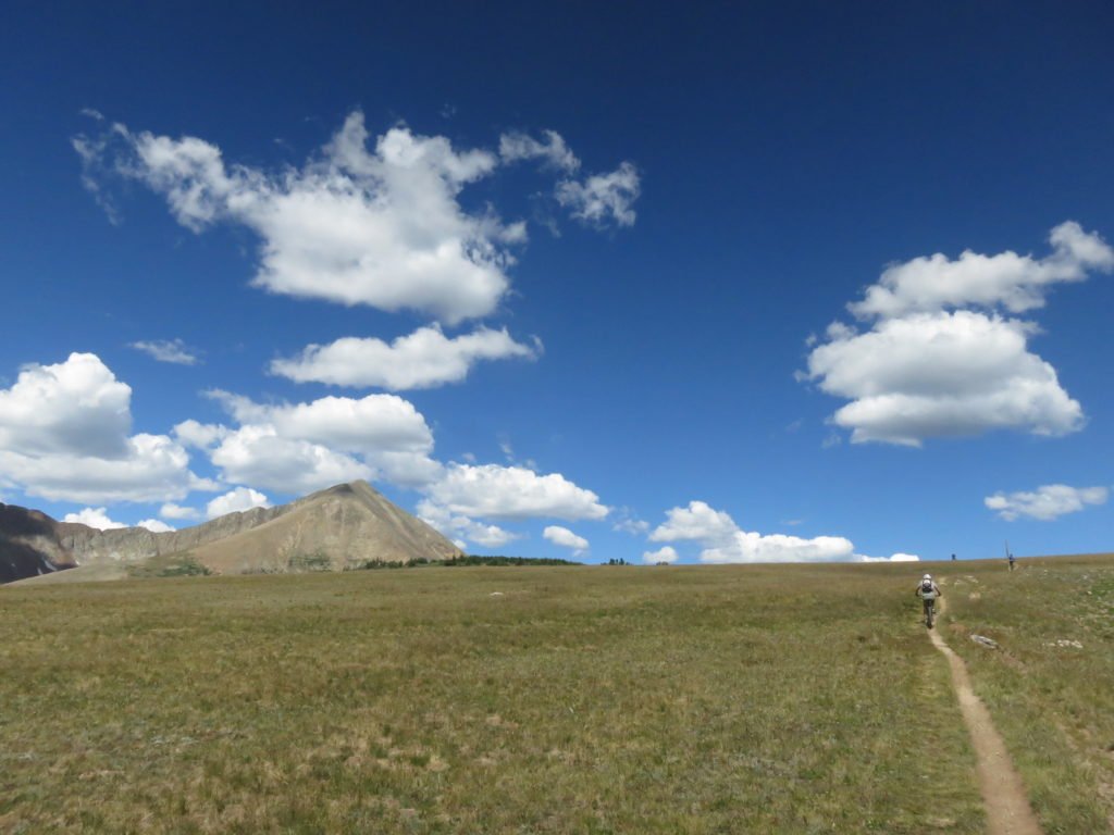
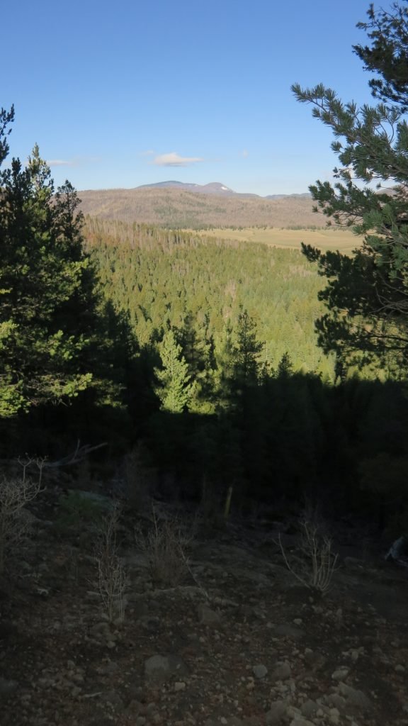
I was on the trail by 11am, but with the forecast in the 90’s, it was already hot. The first 6 miles of the trail follows the Platt River through a canyon. There were many bikers and runners and even this fellow sunning himself. This was the first of two rattle snakes I’d see that day.

IMG_2773

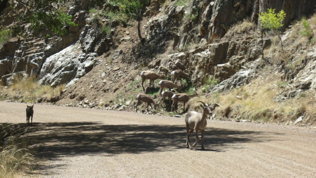
I also shared the trail with some Bighorn Sheep. I had read that they were in the canyon, but didn’t expect them to be blocking the road. There were at least 30 of them and they didn’t care about me.

IMG_2782

IMG_2778

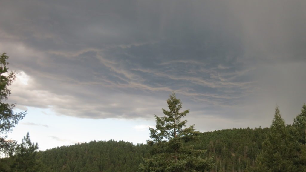
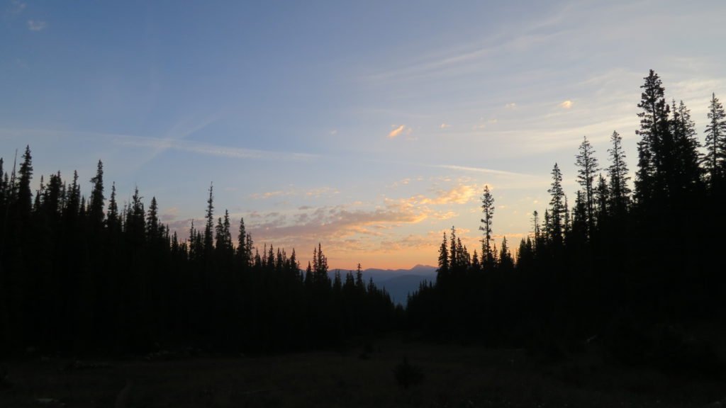
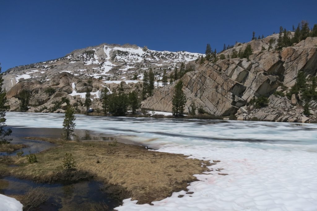
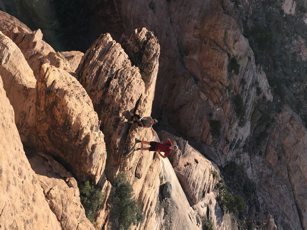
Shortly after the dam, the trail turned into single track and started up a hill. I climbed for about an hour until I reached the ridge and then took a break at the creek. I was joined by Mike from Wisconsin, who was a hiker just starting off. He also recently retired and thought this would be a rewarding challenge. From the looks of him, I think he was second guessing his decision to come. He was going to call it quits there (mile 8), but I wanted to get to mile 13 which was over the next hill. Unfortunately, my late start put me in the middle of some afternoon thunderstorms. When the thunder started, I stopped at mile 11 and put up my tent. Just as I got everything inside, the skies opened up.

IMG_2792

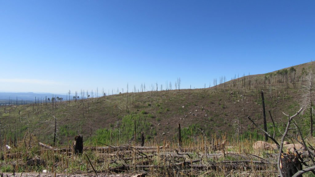
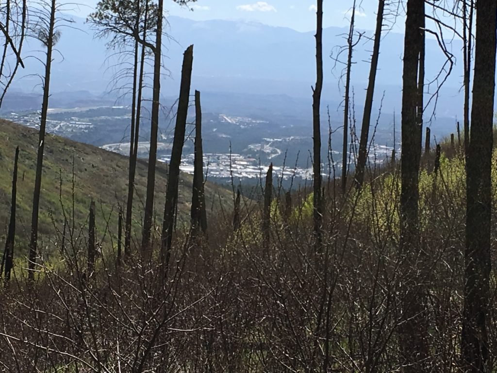
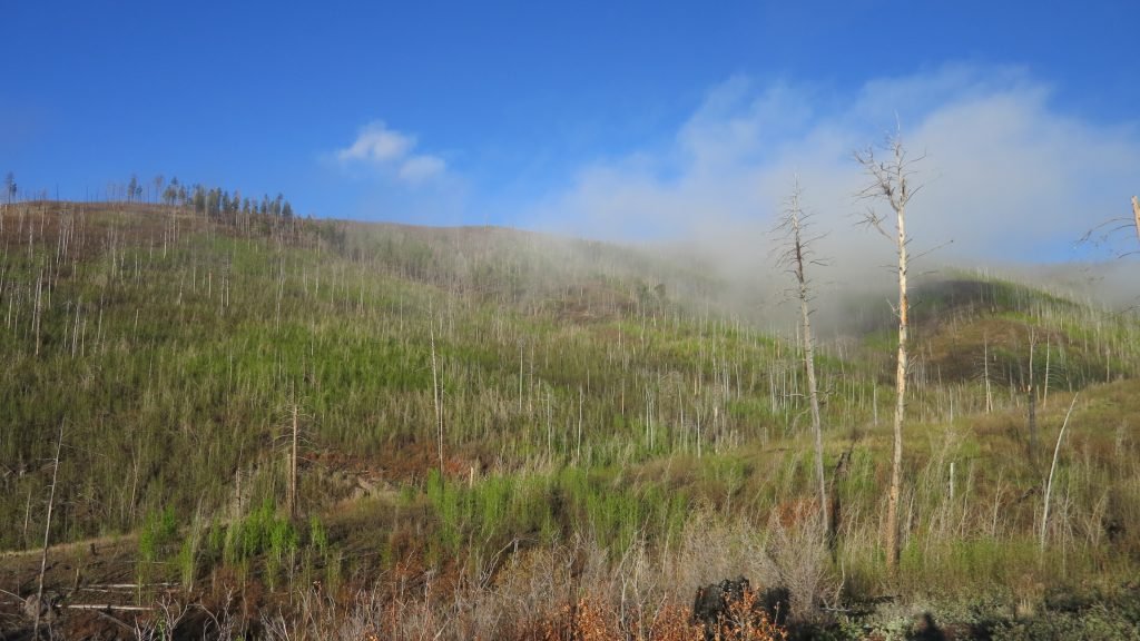
Since I was 2 miles short of my goal, I woke up at 4:30 to make sure I was hiking when the sun came up. I covered the first 5 miles very quickly since most of it was downhill. I stopped and had a bit to eat and filled all my water containers since there was no water for the next 11 miles. Also, this section had a fire 20 years ago so there was limited shade along the way. This sectioned sucked…. 1200ft of climb, dry, and very hot.

IMG_2796

I finally made it across and refilled my water at the volunteer fire department. I felt better from the water and also I had cell service so I got to talk to Tracy. I still had 7 miles to go to get to my camp spot. Once again, the thunder started so I stopped 2 miles from my intention. The rain started about an hour after I got set-up.

Day 3 started even earlier. I was on the trail about 30 minutes before sunrise. I had a lot of climbing to do and 21 miles. The trail mostly stayed in the woods so it was nice and cool.

IMG_2799

Along the way, I met Abolola (sp). He hiked the Appalachian Trail a couple of years ago and got the name from the book, “Lost in Shangri La”, which coincidentally I have read. It’s about a WW2 plane that crashed in an isolated island interior. The natives had never seen a white person, but treated everyone with kindness. The name is of one of the native characters. It means fortunate one or something like that.  It was fitting since the hiker is a Leukemia survivor, had a brain tumor removed, had a shoulder replacement, and a knee replacement. Really nice guy and he told me that the next couple days will have meteor showers.

IMG_2806

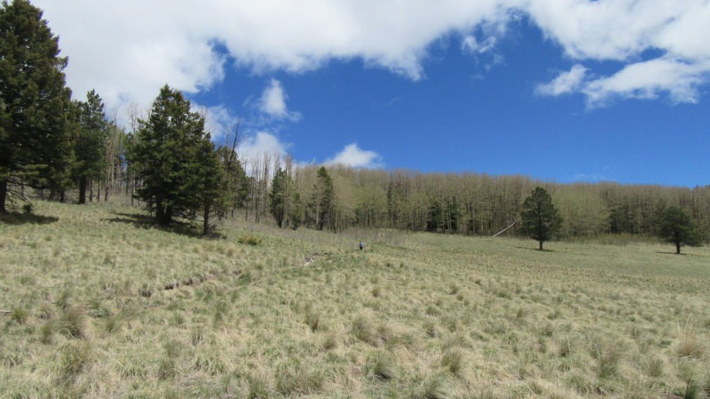
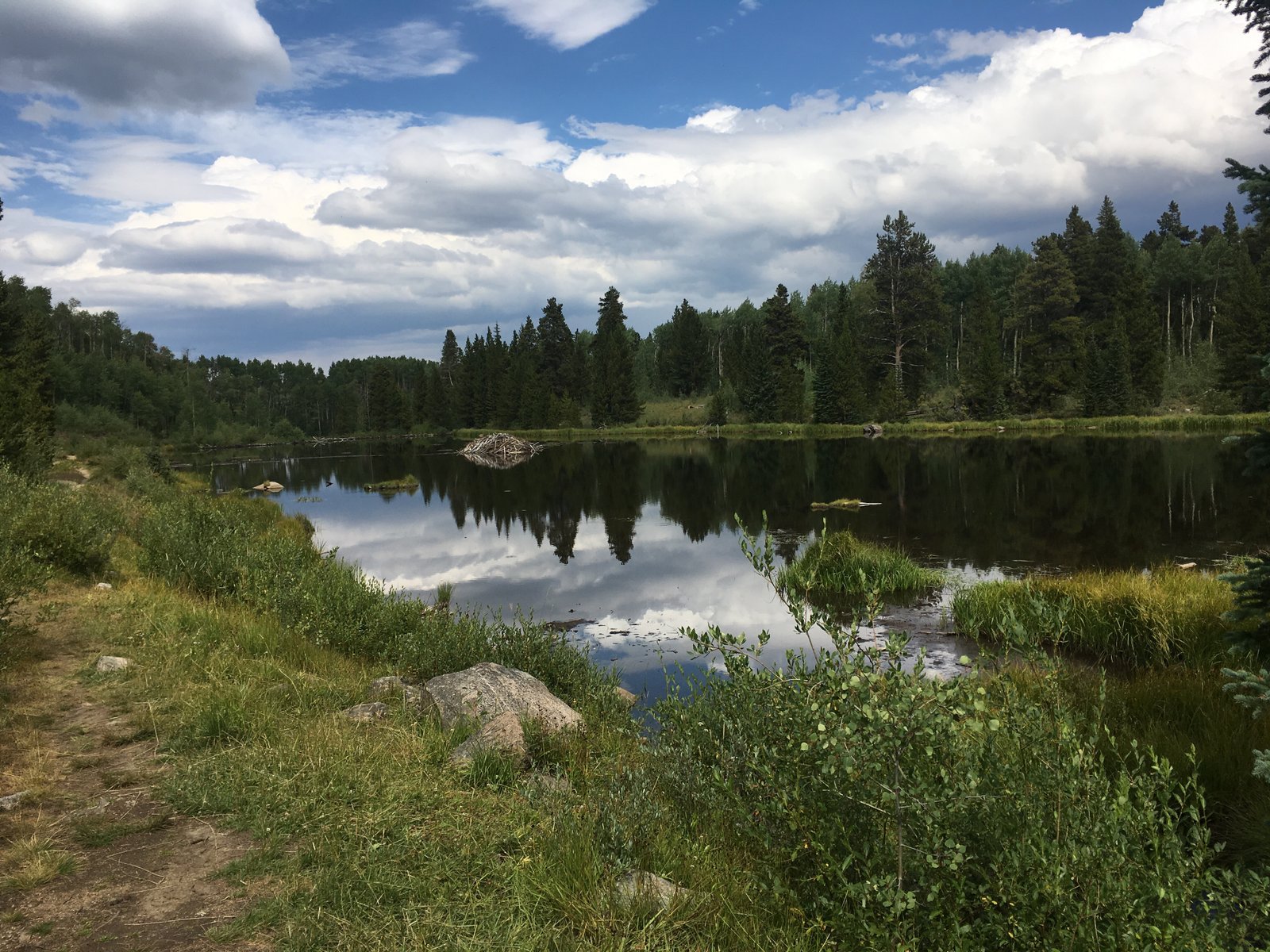
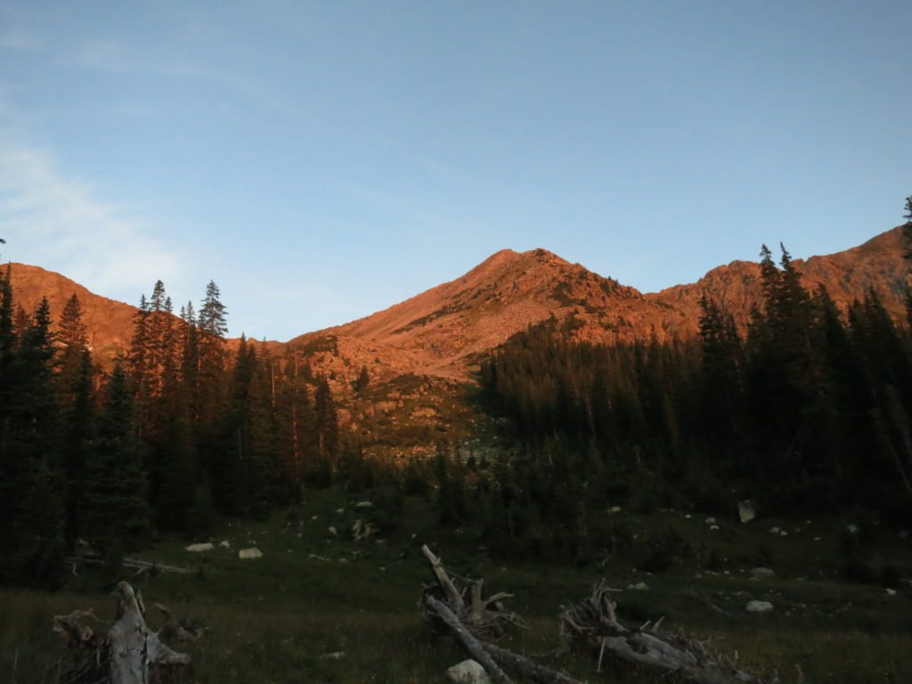
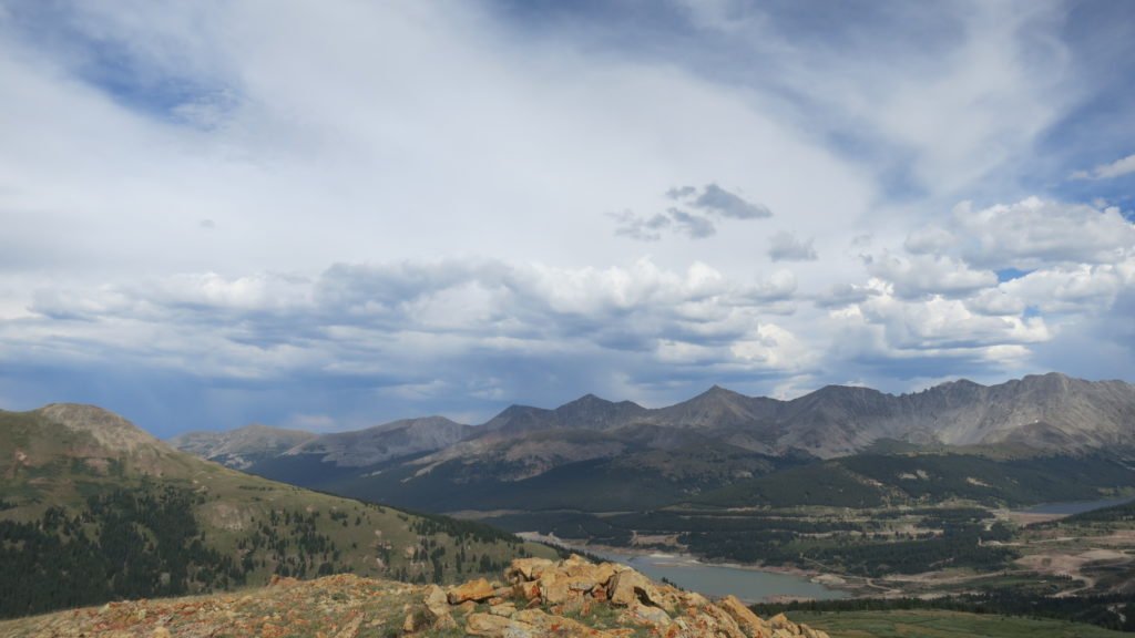
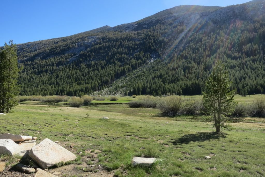
I made great time and got to my final water stop (mile 18) about 3:30. The trail now followed a long meadow. The guidebook described it as long and unusually straight. After 3 miles, I found my spot. I was feeling stronger since the 21 miles also had 4300ft of climb. As I was sitting in my tent typing this, I listened to the thunder with the sun shining. I didn’t end up getting wet– mountain weather.

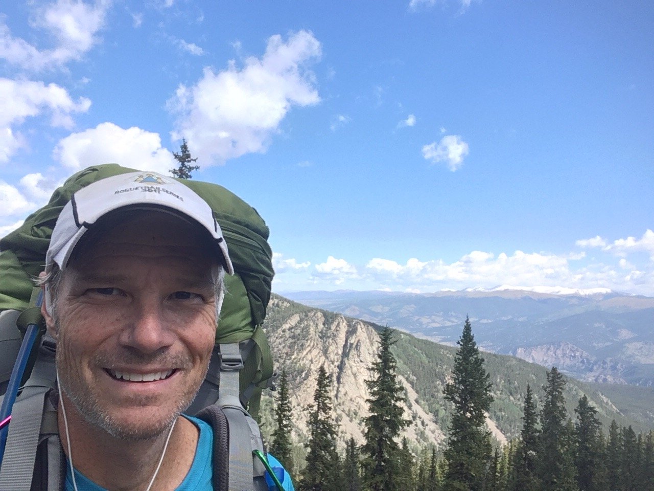
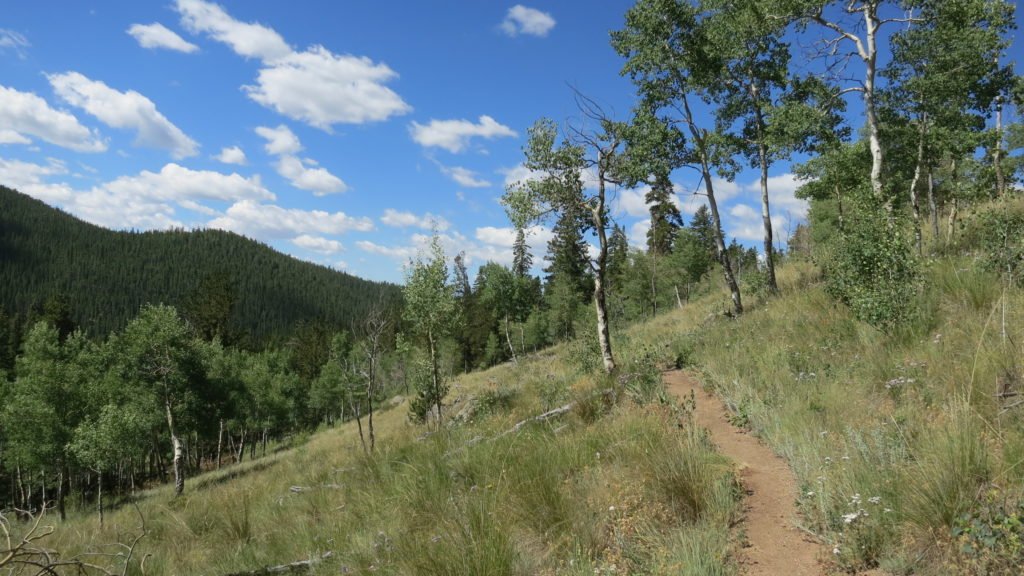
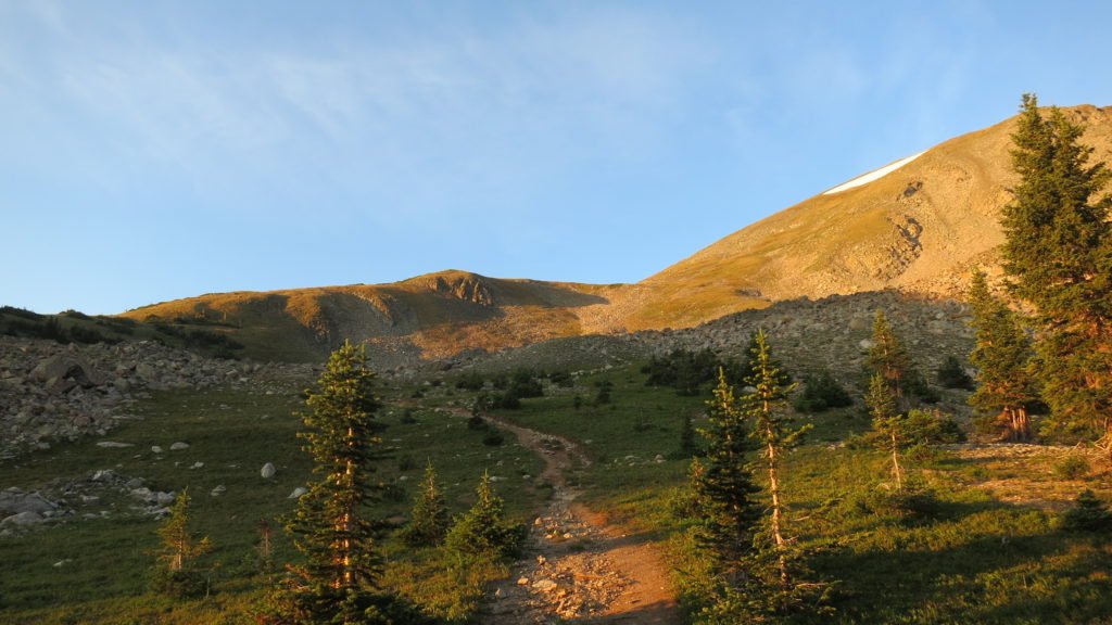
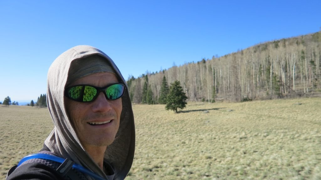
Day 4 was going to be long so I set my alarm at 4:20 again, however, when it went off my watch also said it was 34 degrees in my tent so I knew it was 10 less than that outside. I did a mountain snooze and reset it for an hour later.   When the time came, it was still 34 degrees but dawn was offering a little light so I made coffee and started packing. I was on the trail by 6:45 with hat, gloves, and a pull-over. I had to hike out of the meadow to close to 11,000 ft and then make my way down the other side. Besides a nagging blister, the morning was uneventful. The other side of the meadow was a very pretty aspen forest that seemed to go forever.

IMG_2817

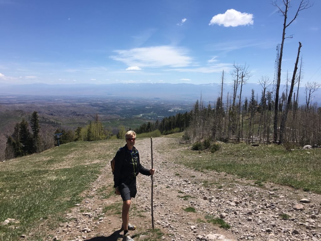
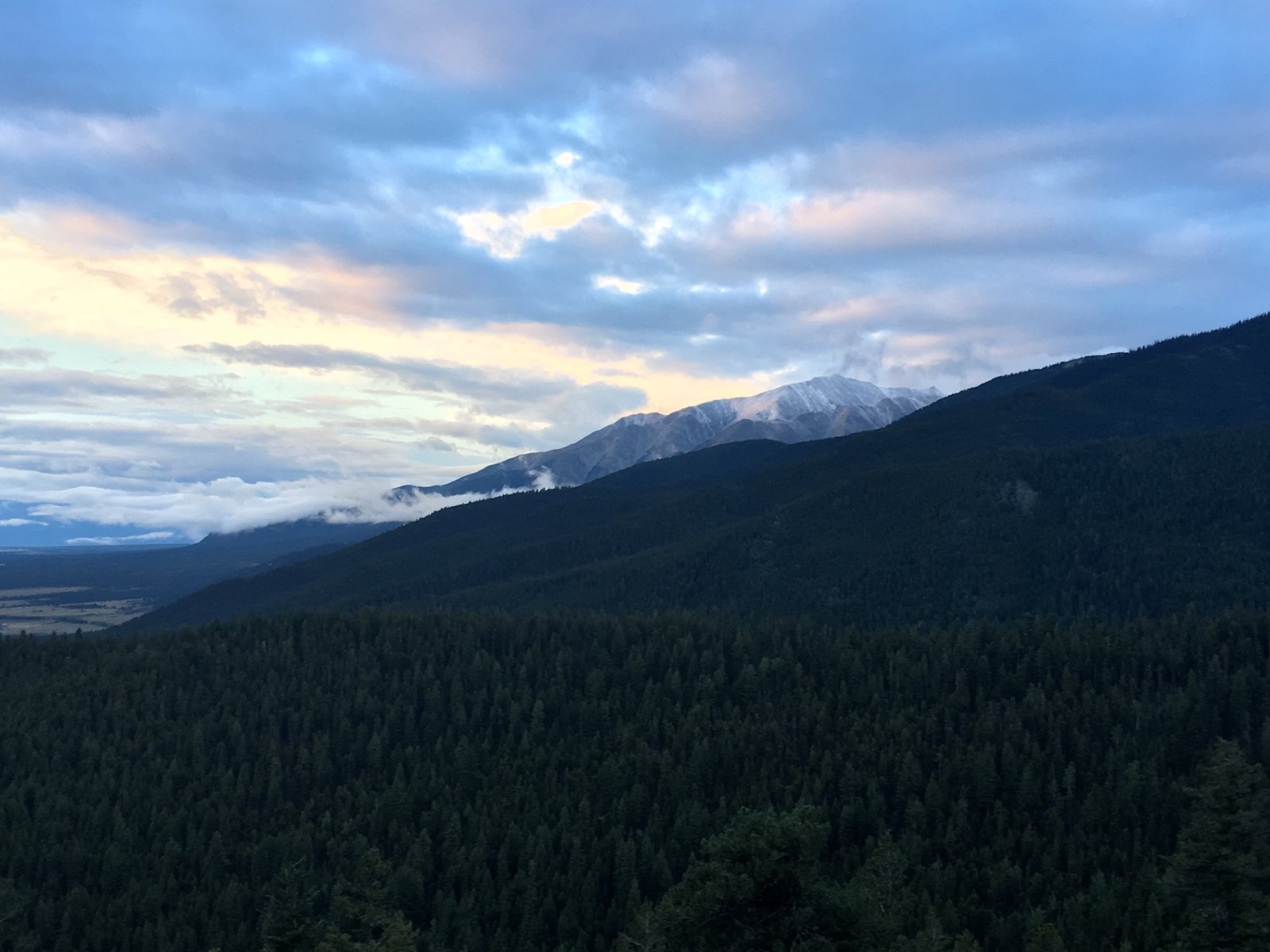
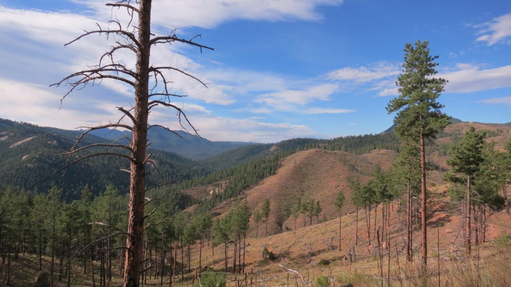
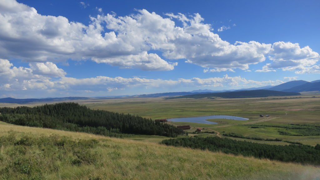
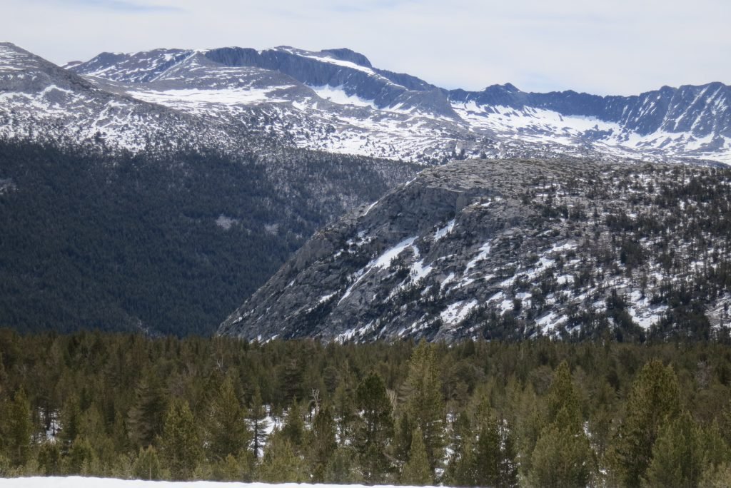
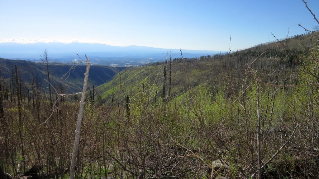
At noon, 13 miles in, I stopped to refill water and have lunch. I had dropped almost 1700ft and I knew that I had to climb 1000 of that back. I was tired, but the vistas were stunning. I finally made it to the trailhead at highway 285 and was dreading the last 3 miles since it had a big climb. A couple of mountain bikers took pity on me and gave me a PBR. Plus I had phone reception and Tracy is back so we got to talk. Things were brightening up. As I crested the hill, I could see the continental divide which I have to climb on day 5.

IMG_2831

Just a steep downhill to my campsite after 23 miles and 3300ft of climbing. I was feeling real full of myself until this 60 year old guy passed me on a bike going up the hill.

IMG_2832

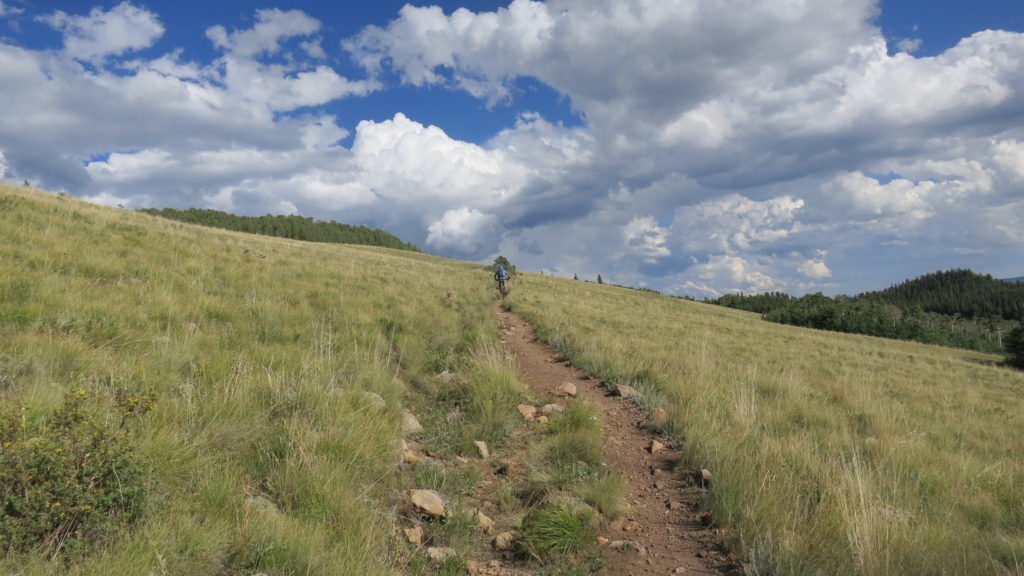
On day 5, I left camp at first light and started the long climb up to Georgia Pass. This pass is 11,900ft high and crosses the continental divide. The trail was a decent single track with a healthy incline and a lot of switchbacks. I was surprised at 7am with a biker passing me on the uphill. Then another and another. I forgot it was Saturday and there are some mountain bikers with mad skills in this area of Colorado. They were riding up the incline for 6 miles without ever taking their butt out of their seat. The ones coming back down were even crazier flying down the switchbacks. Besides a couple of tools, everyone was really courteous to the guy carrying the big backpack.

IMG_2840

There were also a couple runners and I chatted with one. His name is Dan Pritchard and he is also doing Rabbit this year. He was heading to Leadville Thursday to pace his wife in the race. She’s shooting for the 24 hour buckle so the only time I’ll see him is at the bar.   Coming down the other side of the pass was miserable. My blister was hurting, my pack was rubbing, and my feet hurt. It was a 6 mile decent until I got to a trailhead access point. Once again, when I was at my most miserable point, the beer fairy appeared. A couple of couples and their dogs were  hiking up and wanted to hear all about the trail. We talked for a while and one of the guys had a cooler backpack and asked if I wanted a beer. Yes I did. They were even kind enough to pick up the bottle on their way back down so I didn’t have to carry it.

IMG_2843

4 miles later I made it to where I wanted to camp but it was a public campground and every pick-up truck in Colorado was spending their Saturday night there. I ended up finding a spot by the creek that was a long ways from the parking lot so I know they wouldn’t want to haul all their stuff near me. The sound of the creek blocked all other noise and I finally got to take a bath and wash clothes.

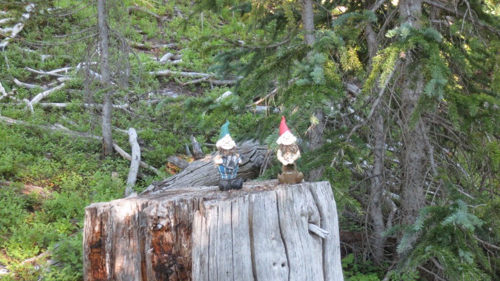
The next morning, day 6, I had a 1200ft climb to start the morning, but it was fairly easy.   At the top someone had put this pair of gnomes to welcome you.

IMG_2844

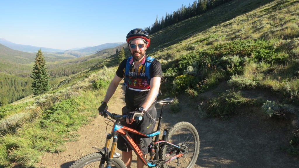
Once I crossed over the ridge, I’d be in sight of Breckenridge which also meant I’d have phone reception. I got to talk to Tracy, my mom, and Preston. I left a message for Deb. It was a big decent of 2000ft but the switchbacks were tame and I finally got my blister and backpack dialed in. It was Sunday so lots of mountain bikers again. This is Andy, spoke with him for a while. He was out early like me and doing a big loop. After a few hours, I started switchbacks right into Breckenridge.

IMG_2849

IMG_2852

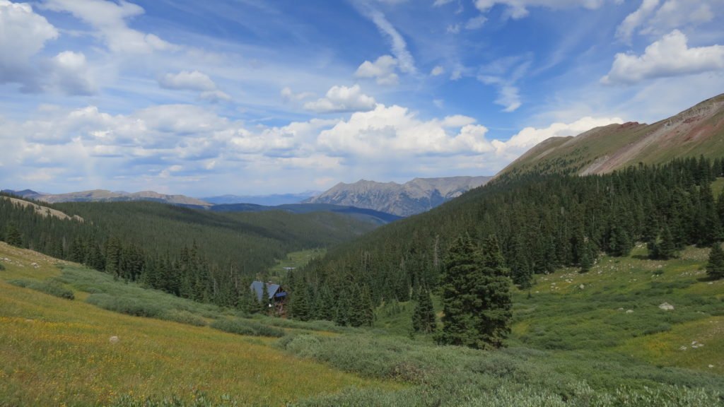
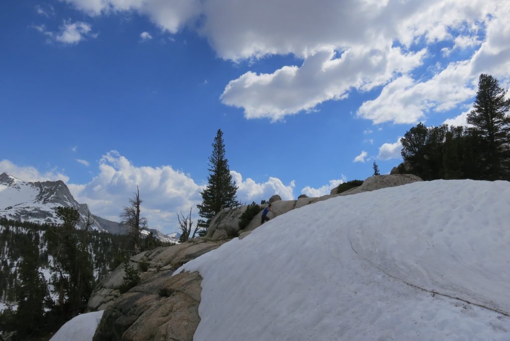
After crossing highway 9, I walked the bike trail. I was surprised to see that Frisco, Breckenridge, and Dillion are all connected via the trails. Tons of people out riding and hiking – Tracy and I need to spend some time there. What goes down, must go up so I started my ascent. I needed to get as high as I could up the trail to give relief to the distance I needed to do the next day. The issue was that I needed to go over 3 passes in one day in order to meet my timetable. I wanted to get as high as I could so the first pass would be easy, but it’s really cold above tree line and I needed water. I ended up close to 11,000ft next to a creek; about as good as I could have done.

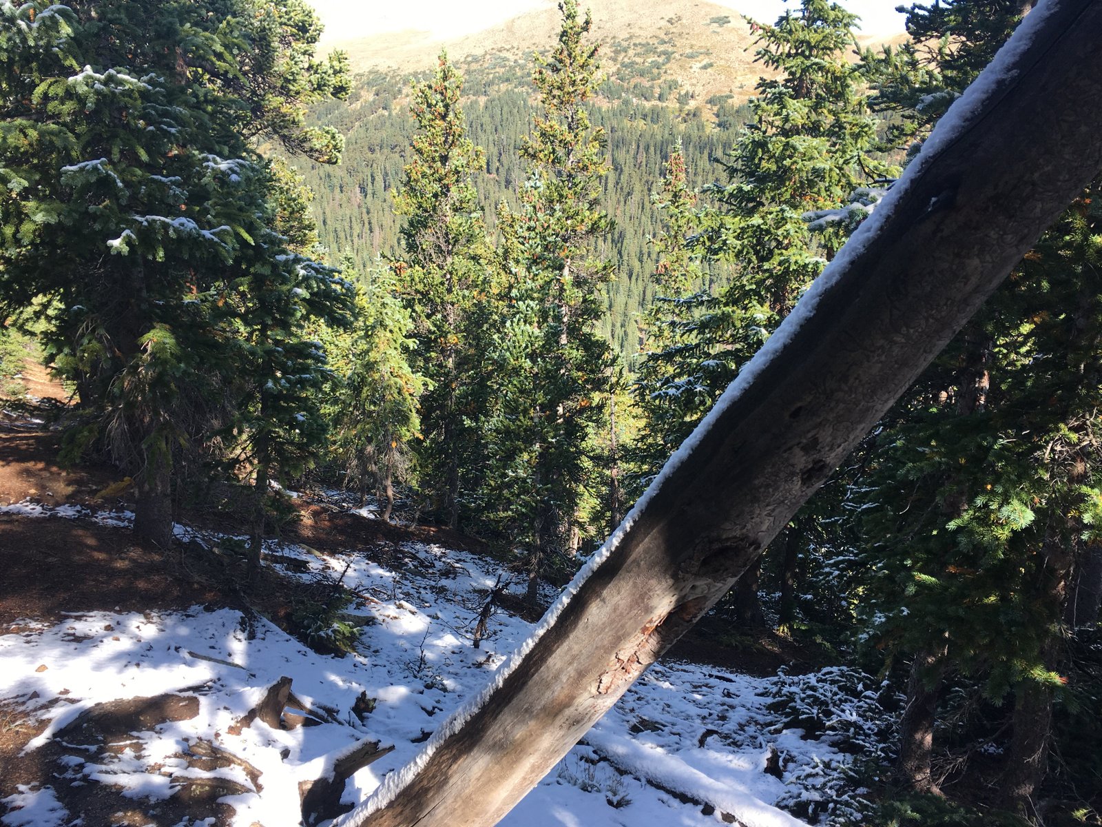
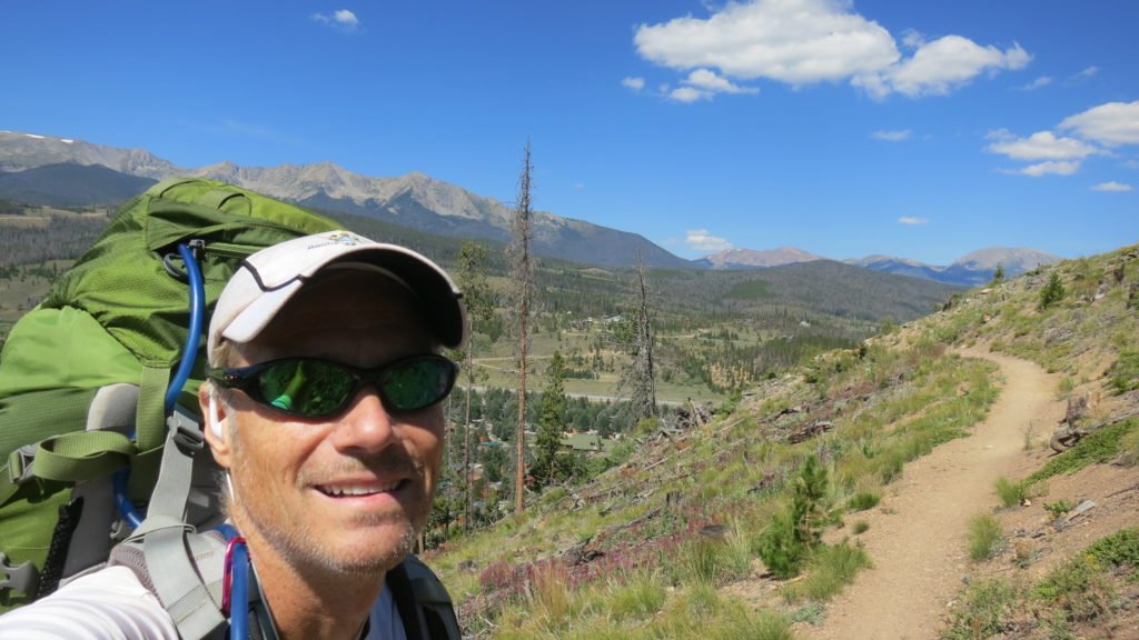
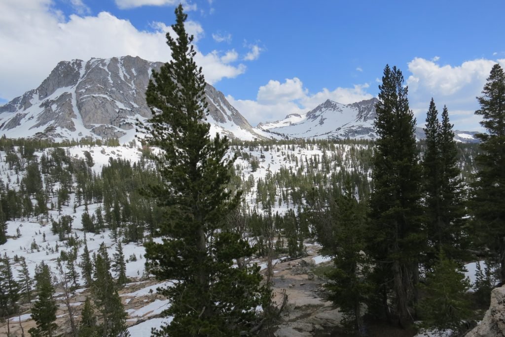
Surprisingly the temperature wasn’t so bad when I woke up on day 7. I was on the trail by 5:40 and got to see a beautiful sunrise over the mountains. The climb was tough; this was the highest point yet at 12,500ft.

IMG_2856

IMG_2855  IMG_2857

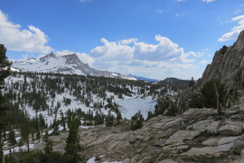
I made the top by 8am and was talking to a runner and her dog when this paraglider came right over our heads. He had come off of the peak next to the saddle I went over and had a 2500ft drop into Copper below. Took him about 8 minutes, it took me over 2 hours to get there. In the picture, he’s left middle and Copper is on the right.

IMG_2869

IMG_2868

When I got to Copper, I was dreading the next part. I had to climb from Copper at 9700ftt back up to 12,300ft and traverse 2 passes. I’d also be above tree line for 8 miles at a time of day thunderstorms form. I called Tracy and wished for luck and she must have gave it since everything went fine. I passed a really nice ski hut and had an incredible view of Freemont Pass. The day was 22 miles and over 5000ft of climb.

IMG_2871

IMG_2878

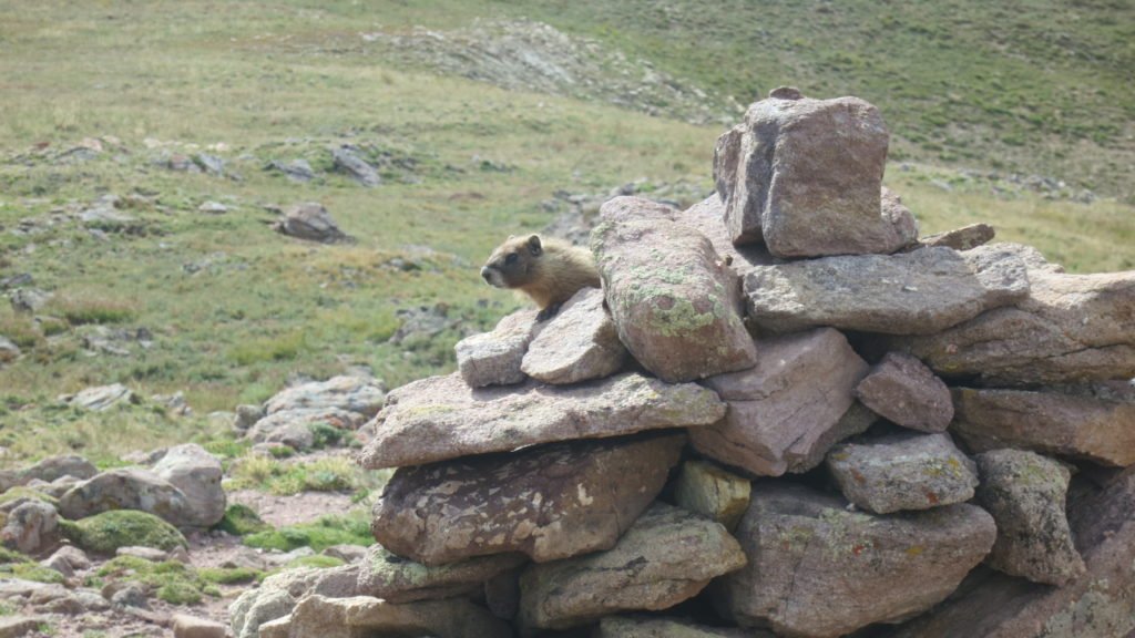
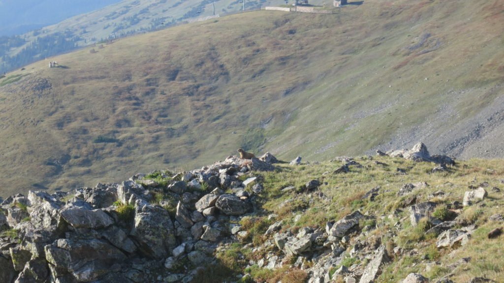
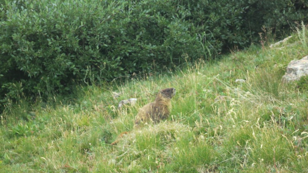
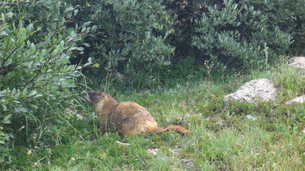
Also, I have a thing for Marmots and this day was Marmot heaven. Here are a few that I tried to get to pose.

IMG_2881

IMG_2866

IMG_2876

IMG_2877

The final day was fairly easy.  I didn’t hit the trail until 7:45 since I only had 10 miles to go.  The first 3 miles were downhill and the views were stunning,

IMG_2884

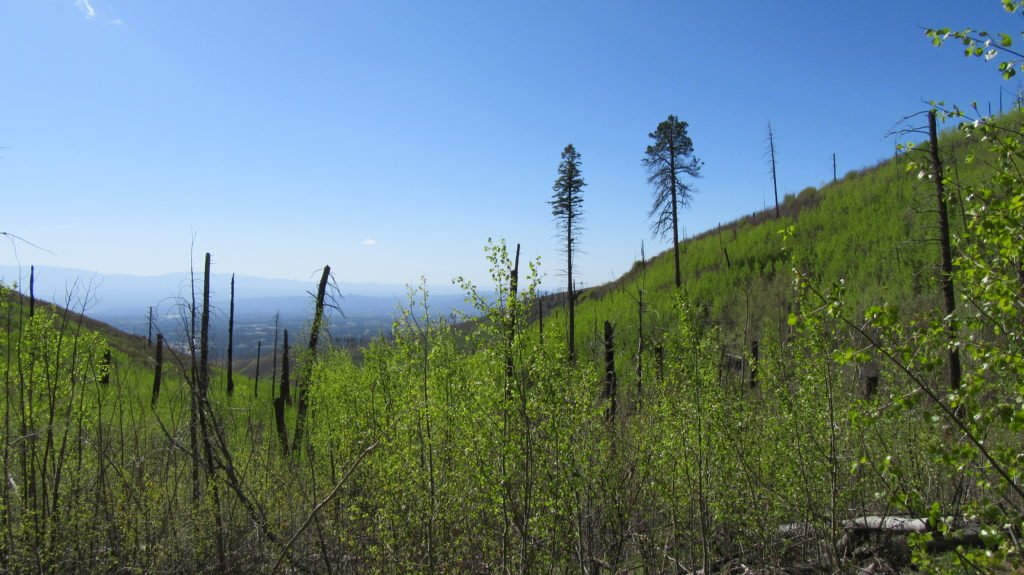
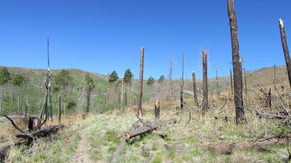
I dropped into a valley which used to be Camp Hale where the army used to train soldiers to fight in alpine conditions in ww2.  There isn’t much left of the camp accept  for the deteriorating bunkers,   There were crews working around the valley.  I thought they were looking for unexploded ordinance, but when I read the state of Colorado memo it turns out they were looking for asbestos.

IMG_2888

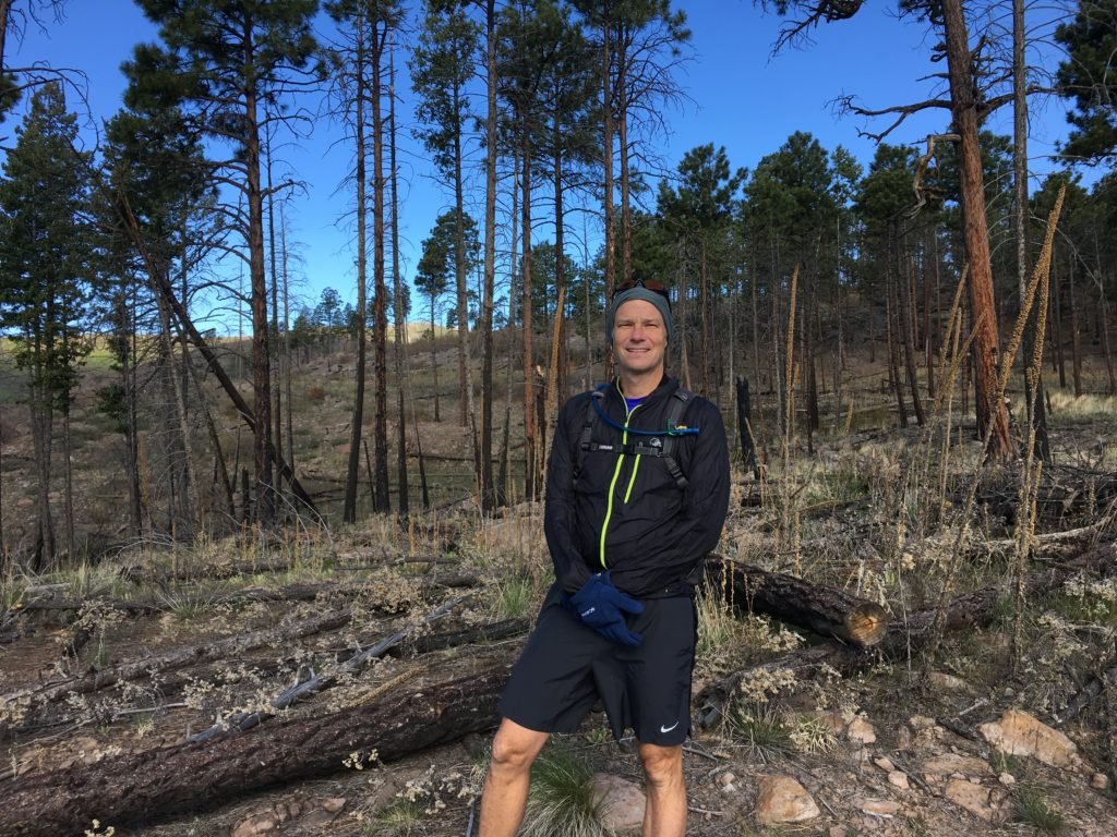
The last 4 miles were through a valley and then to an old railroad bed that took me to Tennessee Pass trailhead.  I called Mike and he picked me up 30 minutes later.  Turns out the house we are staying in is only 4 miles away.  The plan is I take it easy for the next 3 days, then on Saturday, I’ll pace Mike in the Leadville 100 for 50 miles.  I’ll recoup on Sunday and then hit the trail again on Monday.


Cross country in Yosemite

Last Sunday, Preston and I were joined by two of our friends, Brad and Wes, for a backpacking trip in Yosemite.  Our intention was to do and extended version of the Vogelsang loop that we did last year (http://www.everytrail.com/guide/lyell-canyon-vogelsang-loop); but we had to change our plans.

IMG_2299

The Sierra’s received a lot of snow this winter and the trail became obscured just shy of the first pass we had to climb (Tuolumne).  We decided to call it a day and set up camp in a dry spot.  Preston and I then took off to see if we could find a way across the pass that didn’t include us wading through a very swollen creek.  The first picture below is from our first campsite, the second is Preston scaling a tarn to see if we could find Booth Lake on the other side of the pass.

IMG_2318

IMG_2322

We worked our way around the canyon and found the lake.  It was less than 2 miles from the campsite, but with 36″ of snow base, getting there was treacherous in the loose snow of the late afternoon.

IMG_2324

The next morning we set off while the snow was still frozen and hiked the distance in a little over an hour.  We found a clear spot right on the lake shore next to a stream feeding the lake.

IMG_2333

I broke out my fly rod and while casting in the wind wasn’t that easy for a beginner like me, I could drop the fly and line in the stream and let it drift out into the lake.  I hit pay dirt twice and we had a little snack of trout.

IMG_2336

We shared our campsite with a very brave Marmot.  He was curious of everything and tried multiple entry points into our camp.

IMG_2338

The next morning, the lake had frozen over again and everything was still.  It got well below freezing that night so it took a while to get moving in the morning.

IMG_2341

Our goal for the day was Evelyn Lake.  The lake is fairly close, but with the heavy snowfall, there was no trail to follow.  Preston and Wes had explored the woods above the lake the day previous and found one of the trails, so we had an idea of where we were on the map.   We hiked to that trail in the morning and then Preston and I set off without packs up the hill to try and find the other trail that would point us in the direction of the lake.  We found the trail about 200′ above.  It was a grind as we switch backed the steep hill with backs.

IMG_2348

When we got to the lake, we had to cross a large plain that was filled with snow covered creeks.  There were many snow bridges that we had to cross.  Its a little nerve racking knowing that the snow could collapse under your weight onto the rocks and water beneath, but we were careful and made it without incident.

IMG_2367

The lake was mainly iced over, but it was a barren, beautiful landscape.  We camped in the same small grove we had camped in last year.

IMG_2356

IMG_2365

The route we had to take the next day required us to cross a high plain to a canyon that would take us down into Lyell Canyon.  The issue was that the entire trail was snow covered.  I set out after we set up camp to see if I could find the route before we had to traverse it the next morning.  My plan was to walk in the general direction of the trail and when I got to a grove of trees there would often be bare spots, and I would walk 100 yards each direction and look for pieces of the trail.  I worked my way 2 miles to the cliff above the canyon and amazingly found the spot where the trail started the switchbacks down.  The picture below shows where we had to go, the hard part was to get there without knowing where the trail was.  It’s easy to get lost in the snow since most landmarks are covered.  I demonstrated this by heading down the wrong canyon on the way back.  I knew something was wrong when I began following a creek I didn’t remember and a little panic set in when I came to an unfamiliar cliff.    Good news was that I had marked the route behind me with sticks in the snow, so I back tracked to where I’d made a wrong turn.  I made it back to camp in 3 hours (I said I’d be an hour); I was tired and even though I’d lotioned and balmed up, I managed to sunburn my lips and the tip of my tongue (my habit of hanging it out when I’m concentrating).  Scary stuff, but it worked out.

IMG_2383

The next morning we set off following my markers from the day before.  It took us a little more than an hour to reach the canyon edge.  The switchbacks were completely covered so we created our own down the mountain.  After 45 minutes or so, Preston found the trail; since we’d dropped 500′ in elevation the snow cover was much less so we could follow it.

IMG_2378

Several hours later, we popped into Lyell Canyon and hiked up to the avalanche which marks the camping boundary.  We found a spot on the hill and set up camp above the John Muir Trail.

IMG_2393

The next morning, it was a quick 5 miles to the car and now we are in Oakhurst.  Today was are planning to visit Nelder Grove where the race I’m running tomorrow traverses the giant Sequoias.   More to come….


Less than a day

Early this morning, I went back to the ski resort to explore the next leg of the race.  This leg is less than 3 miles long, but I will travel it twice.  I was interested in how technical it was since I will be running it after a brutal downhill off of the mountain.  The picture below shows how far I have to drop in the previous leg.  The course starts on top and weaves it’s way down through the different runs – dropping about 1000ft.

IMG_2222

This leg turned out to be tame – a little single track and jeep trail with a gentle uphill.  You skirt a deep canyon that leads back to town.

IMG_2221

Half of the leg is through a beautiful meadow with a lot of bright blue mountain birds.  I tried to get close enough for a picture, but I guess my hoodie scared them.

IMG_2220

The leg ends at a very steep downhill into the caldera.  For those that have done Bandera; think of the steepest part down on Lucky Peak, but for 500ft.  Coincidentally, 3 guys were marking the trail (one of them was the race director) and told me that staying right through the trees offered the slimmest chance of ending up on my head.

IMG_2217

Race starts at 5am tomorrow… weather will be wonderful.

Jemez 50 is in 2 days

I’m in Los Alamos, NM this weekend for the Jemez 50.  It’s a race around the city and through the Jemez mountains.  It’s a little more than 50 miles – closer to a double trail marathon.  This should prove to be my hardest 50 miler since it involves an incredible amount of climbing and the lowest point is around 8,000ft.  I’m staying in the City and the park in the picture is just across the street.

IMG_2204

I walked through the downtown area last night looking for a place for dinner.  Found a nice cafe with awesome food.  I went back there for lunch today.

IMG_2206

I was on the trail by sunrise.  I wanted to hike what looks to be the hardest section of the trail.  It’s an 8 mile stretch that climbs to the top of the ski resort, ~3000ft.  Heat won’t be a problem in this race – it was 38 degrees when I left the car.

IMG_2208

IMG_2209

When I passed 10,000ft there was a sprinkling of snow.  The picture below is a cool bench that is on the summit.

IMG_2214

The climb was as expected and I only got turned around twice.  Both times, I back tracked to understand where I missed the turn so I wouldn’t do it in the race.  I took about 3 hours to do the stretch today, but that was with pictures, 2 phone calls, getting lost, etc…. on race day, I need to do it in 2:35.  I pasted my race card below.  I’m expecting 15 hours which makes it my slowest 50 miler ever – but I’ve never done one with this many climbs.

jemez_card


Back to Vegas

Tracy and I were in Vegas this week with our friends Chris and Jennifer.  Many of the casinos were still decorated for Chinese New Year.  We were hoping standing in front of the money tree would bring us luck (it didn’t).

1IMG_2129

Besides eating, drinking, and helping the economy; we did spend the day out at Red Rock. Chris and I were just on this climb last week, but we’ll never pass up a chance to summit Turtlehead peak.  The weather was wonderful and the trail didn’t have a lot of people on it.

1

image2

The climb was pretty striaght-forward and in just over 75 minutes, we were all on the summit.

1image1x

1image2a

1image2x

1image3a

We still had energy so we drove up the road a little bit and hiked up to Keystone Thurst.  Its basically a fault line that runs through the far end of the park.  Chris climbed up to a small cave and was able to snap a picture of Tracy and I sitting on an overhang of a creek bed.

IMG_2152-hi ress