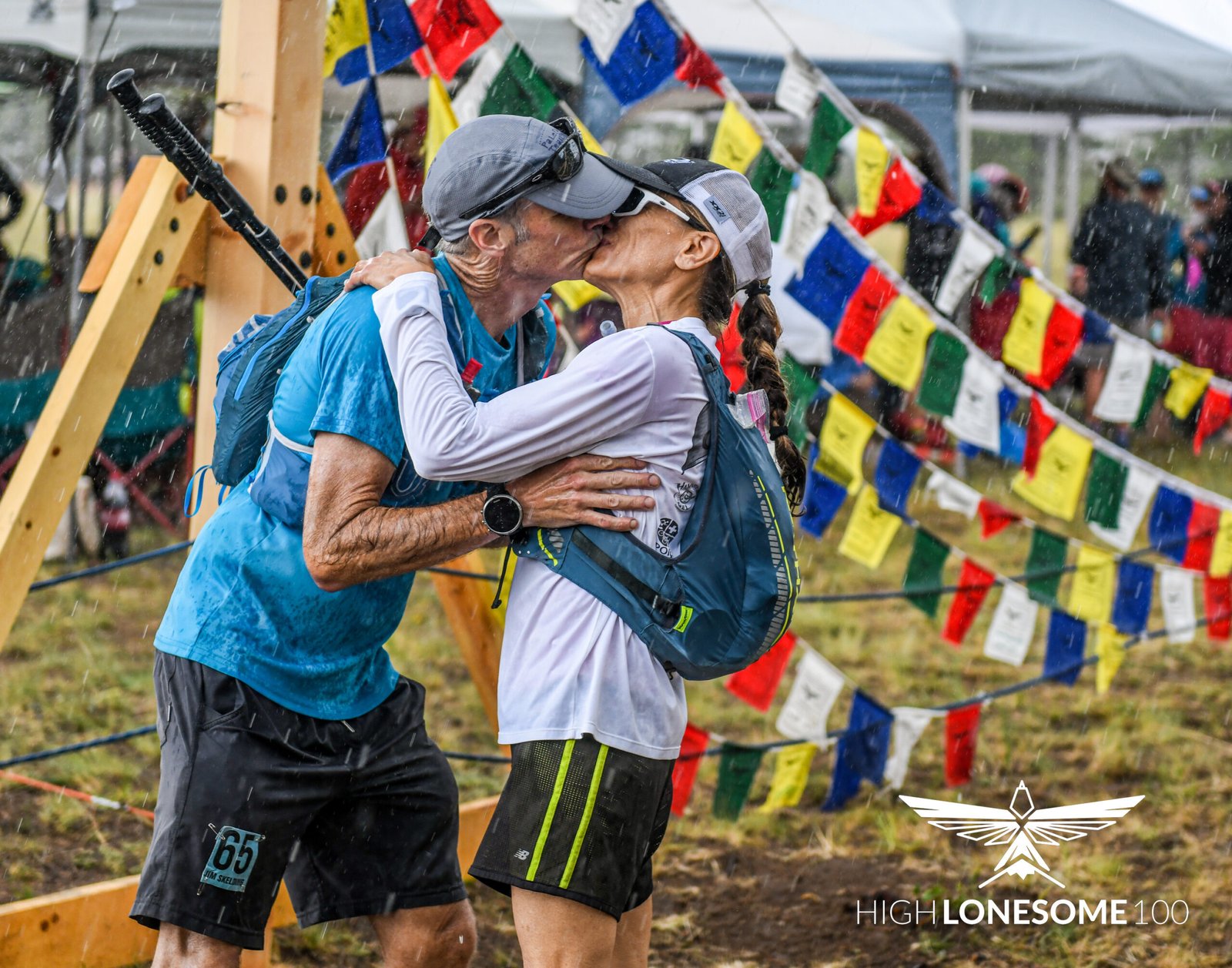
Hi all, Tracy again. Work is crazy this week, and has been keeping me away from the website, so I am sorry for the delay in posting this update. Everything sounds like it’s going pretty perfectly, and Jim is blazing along the trail and feeling really good. SPOT (a/k/a “Eddie”) is acting up again, but you can still get a good idea of where Jim has been, except that all of the tracking points from the first three days are gone, and the tracker started over again at number 1 in a place that’s not even close to the trail. Since then, though, SPOT has seemed to pick up the correct location (#2 through #49 spots as of this posting) and has stayed generally on track from there with some intervals of radio silence that appear as straight lines on the map. Note that the numerical coordinates that are shown with each spot entry are all coming up the same, so just be sure to avoid using the coordinates themselves if you’re trying to see the trail or look at photos via Google Earth or another satellite or mapping application.
Donohue Pass (over which Jim climbed on Friday) marks the end of Yosemite National Park section of the trail, and forms the northern border of the Ansel Adams Wilderness section. On Saturday Jim went from Island Pass to Red’s Meadow and Devil’s Postpile, in the Inyo National Forest. Devil’s Postpile is a group of very cool looking basalt columns that were formed from cooling magma (to be said in a Dr. Evil voice). Jim made quick work of that section of the trail, and moved into the John Muir Wilderness Section, which starts near Mt. Ritter and Banner Peak and features the Red Cones, which are also lava formations but would be a good name for a band. On Sunday, Jim went from Red’s Meadow past Deer Creek and over Duck Pass, passing a series of really pretty lakes along the way, including Duck Lake and Purple Lake, all with great views of the eastern Sierras, and he then camped near Virginia Lake. I think this day was originally planned to end at the campground at Duck Creek Crossing, but Jim blew by that spot and continues to make up time.
I found some photos of Duck Pass, Purple Lake, Virginia Lake, and other views from that section of the trail here.
Monday’s leg started near Virgina Lake and went up and over Silver Pass (10,900′), down to Silver Pass Lake (around the JMT 80-mile mark), through the Vermillion Cliffs, to Lake Edison. I might be getting my combinations mixed up a bit, but I think this is about right. Lake Edison is a popular place to stop and camp—hikers can take a ferry to the Vermillion Valley Resort (where one might have wanted to take a badly needed shower, for example), and there is a supply-drop station there as well—so through-hikers can ship food and supplies before they leave home, and then pick them up and restock during their trips. However, Jim packed in eight-days’ worth of food at the start, so he did not have to orchestrate a supply shipment to Vermillion Valley. He’s got one coming up at another station that is farther south.
I talked to Jim on Tuesday, mid morning California time–he sounded great. He said the weather had been really nice, and that the morning was cold, so he got up extra early and was on track to do well over 20 miles and get to Marie Lake to camp for the night. That kind of distance is especially impressive given that the hike out of Lake Edison entails a long, steep climb with lots of switchbacks to get up and over the ridge, after which the trail drops down to Bear Creek, and goes across Rosemarie Meadow and hits Marie Lake on the way to Selden Pass. Jim also told me he was getting really skinny, but eating like crazy, and that he still had two days’ worth of food left (perfectly planned, of course). The big shock is going to come when he reloads that bear canister with another 8-to-10 days’ worth of food, and then has to carry it with his smaller sinewy body. He is going to be so well trained for the Mogollon race, though, I am unabashedly jealous of the whole thing, but also really excited for him.
Today (or yesterday really), was the climb up and over Selden Pass (10,900′) to Heart Lake—which is a big deal because this is the halfway point of the trail—about the 105 mile-mark. The trail then winds around Sally Keyes Lake, still at over 10,000 feet, and then down to the Muir Trail Ranch. This is an even bigger deal because Muir Trail Ranch is the place where Jim shipped his next load of food and supplies, so he will restock at the ranch tomorrow, and I’m hoping he has a chance to take a little break and check out the natural hot springs near the ranch.
That’s the download. I’d make it shorter if I had more time, but I will try to be better about keeping everyone updated. Congratulations to Jim for hitting the HALFWAY milestone.
