We made it back to Mammoth last night around 8pm. After a quick dinner, we crashed into the soft bed and slept deeply. We get a zero day at the Tamarack Lodge to resupply food, relax our bodies, and eat some fresh food. Over the past 4 days, we covered almost 50 miles and saw some wonderful country.
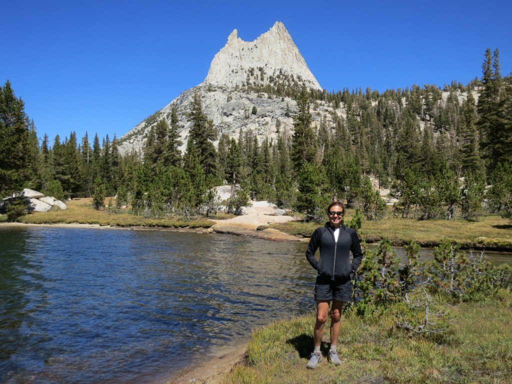
On Saturday we were dropped at Tuolumne Meadows in the morning. We picked up our permit at the ranger station, registered at the campground, and set up our camp. Since it was still early we decided to do an out and back to Cathedral Lakes. The round trip required a 1,000ft climb and about 11 miles of hiking. The picture below is Tracy beside the lake and below Cathedral Peak.
We returned to the Meadows and grabbed lunch at the café there. The rest of the evening was spent getting our gear ready for the following day.
We set out the following morning by following the Lyell River up the canyon for 8 miles. We then starting climbing towards its headwaters in the mountains. The climb would eventually end at Donohue Pass but we weren’t planning on tackling that until the following day. We ended up stopping at a mountain lake after 12 miles and an 1,800ft climb. We camped a little above the lake, but spent several hours cleaning clothes and our bodies in the water. If you look closely at the picture below, you can see Tracy sitting on a rock in the water. This was the view from our campsite.
The following day we had to summit the pass which is slightly over 11,000ft. The weather was perfect but Tracy’s hip was hurting her so we took it easy and made it to the top by 10am. The picture below is of me climbing to the pass. The valley and campsite from the night before are in the background.
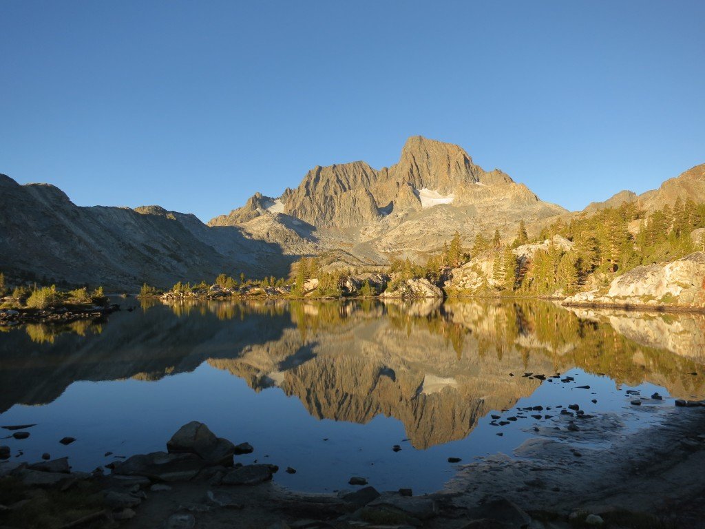
We then had many miles of down hill which taxed Tracy’s hip even further. After a break at Rush creek we started to climb Island pass, which is a lot smaller than the last but still required 800ft of climbing. The trail then wound around Thousand Islands Lake which is incredibly beautiful, but I had a specific place to camp in mind which was still further. Leaving that lake we climbed to the next and the next. It seems in the Sierras that every lake is in a bowl so getting to a lake always requires a climb and a descent. We seem to do this over and over again. We finally got to the lake that I wanted to camp at but it required going off trail for half a mile at a very steep decent of 300ft that we’d need to climb in the morning. Once we got there, we had a private beach, incredible views, and complete solitude (with the exception of the bear tracks in the sand). The picture below is from sunrise, but this was the view from our tent.
You may recognize the peaks better if they are in black and white. The area we are in is the Ansel Adams Wilderness, since it was the location of so many of his famous photos.
We had a great afternoon lounging on the beach. When backpacking there isn’t a ton of spare time since you often hike until late in the afternoon (4pm this day) and if you want to dry anything you need to get it into the sun immediately. We got the tent set up, filtered water, and starting washing the massive amount of dust from the trail off our clothes. Since we had a great sandy beach we also decided to do the same of our bodies. Take a look at Tracy submerging herself in a lake that is fed by the glaciers above.
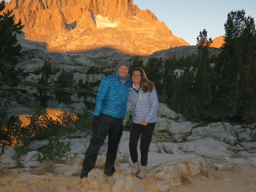
Between the two of us, we must have taken a hundred pictures of this lake and the peaks around it. I got up before sunrise to make sure I got every possible angle of the sun. Tracy was a trooper to get up also so we could get a timed shot once the top of the mountain was lit by the rising sun.
It was tough leaving that campsite but we were on the trail by 8:20am and that was even after breakfast and Tracy making a short video for her work. The day required us to hike over 14 miles through multiple lake basins (which means climbing) and to traverse a hot and dry 5 miles down a dusty slope. The good news was the destination of Red’s Meadows had showers, food, and laundry. We were moving at a decent pace until Tracy kicked it into high gear and we covered the dusty part twice as fast as I expected. I know she was hurting, but we were both happy to have that part done.
Along the trail, you meet a lot of people. One of the most interesting was Glenn from Washington. He was taking a break right after climbing out of the Garnett Lake basin. We talked with him for some time. He was hiking the entire JMT. He was an older guy and you could tell by his pack and his large physical build that he wasn’t a rookie backpacker. He told us that he hiked 1500 miles on the PCT last year covering the states of Oregon and Washington. Then he told us the thing that floored us, he was 73 years old. It was really hard to believe since he was in better shape than me and had no inhibitions about hiking solo in such remote places. From the 20 minutes we spent with him we could tell that there were years of stories he could tell.
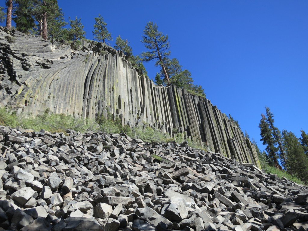
On the way to Red’s we cut through Devil’s Postpile National Monument. The name is so fitting (see the picture). The posts are formed by lava cooling into a honeycomb shape vertically. The honeycomb is due to the fact it’s the strongest shape. The posts are revealed once erosion happens and the full vertical post can be seen. We walked up to the top and you can see the tops of the posts that are still buried. This is just a small section of the tops, but up and down the hillside they were everywhere. It was almost like nature’s tile floor.
That’s it for this section. The next section will be through Evolution Basin and Evolution Valley and is what I consider the most beautiful part of the trail. You can always follow our progress via our SPOT at:
http://share.findmespot.com/shared/faces/viewspots.jsp?glId=0YfsVsqYnztE903pvnRRquacGb8mqmiqT
