Our final segment of the JMT is over, and a little rough math indicates that we hiked close to 150 miles through the mountains. This last segment started at the Kearsarge Pass Trailhead, just west of Independence, California. We hade met a hiker (hippie) on Bishop Pass and he had said he had just done Kearsarge and it was “butter” compared to Bishop Pass – he was right. The pass was well graded with very smooth trails. We climbed the 2,800 feet and 5 miles in 2 hours and 25 minutes. Below is a picture of Tracy on the crest.

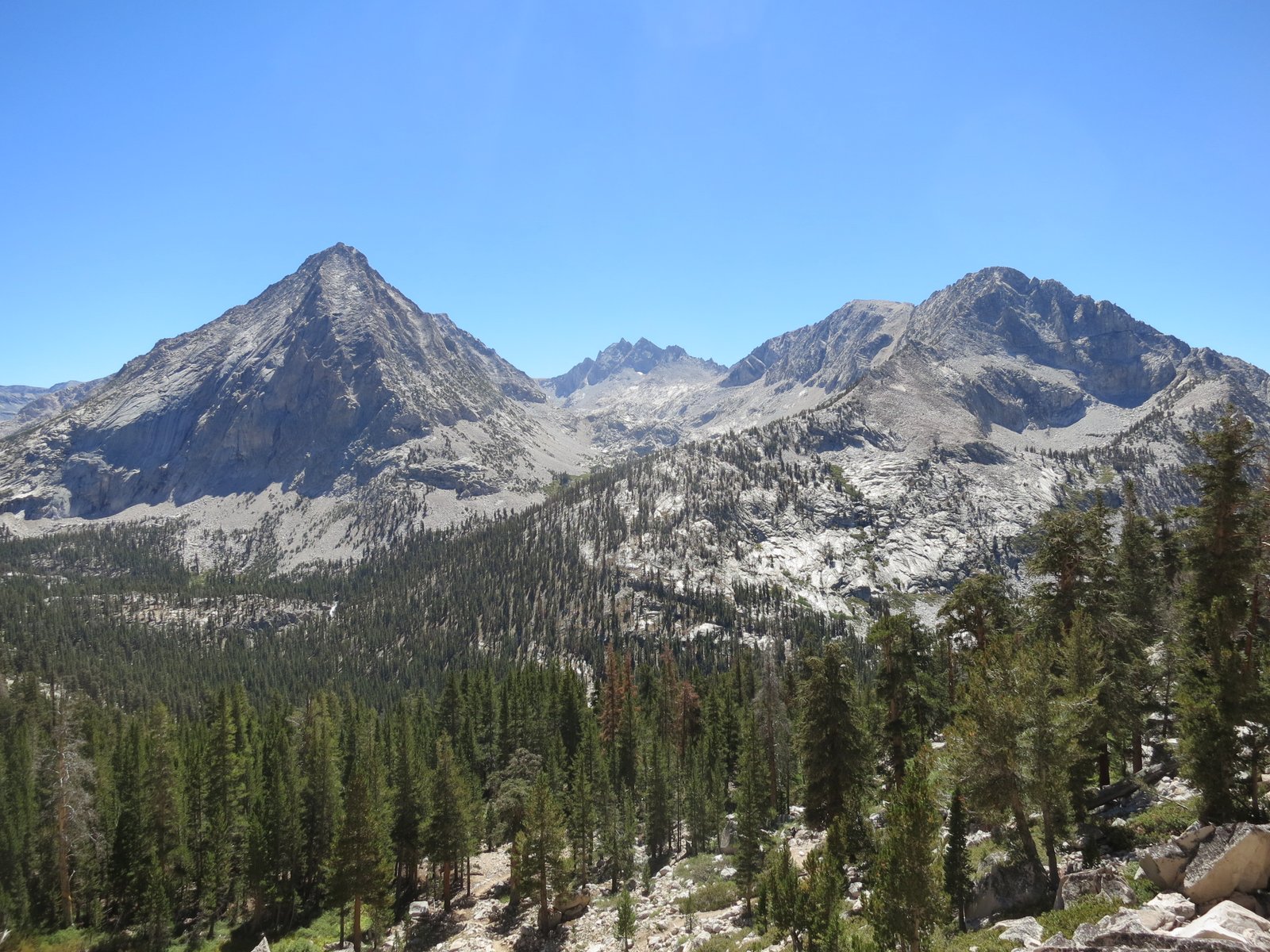
Once over the pass, we dropped into a small lake basin for a few miles, only then to descend 1,000 feet back to the JMT along the path of Bubbs Creek. The trail follows Bubbs south for 7 miles until it hits Forester Pass. The valley is very sheer and is surrounded by 13,000-foot peaks. The picture below was taken at the top of the switchbacks above the creek.
We climbed the trail until we hit the last large creek at close to 11,000ft and then we set up camp. We had hiked about 11 miles that day. The campsite was nice, but since we were in the woods and the peaks were so high, it got shady very early and that meant cold. We were in the tent before 7pm in our sleeping bags. It only got worse, we woke up around 4am, not able to stay warm in our sleeping bags. It was below freezing so I got the coffee brewing and we started to pack up for what was going to be the longest day of the trip. We were on the trail before sunrise and started the long climb up Forester Pass. We had a great moon and the barren environment is very pretty when the rising sun strikes it.

The pass is the highest on the trail, reaching 13,200 feet in elevation. The approach is very long and switches up a box canyon to a small slot on the saddle between two of the peaks. Once you crest the slot, the other side is a miracle of engineering. The trail is carved into the face of a sheer cliff. The pictures below show us on the top of the pass, plus a picture of Tracy descending the 5-foot wide carved trail on the other side.


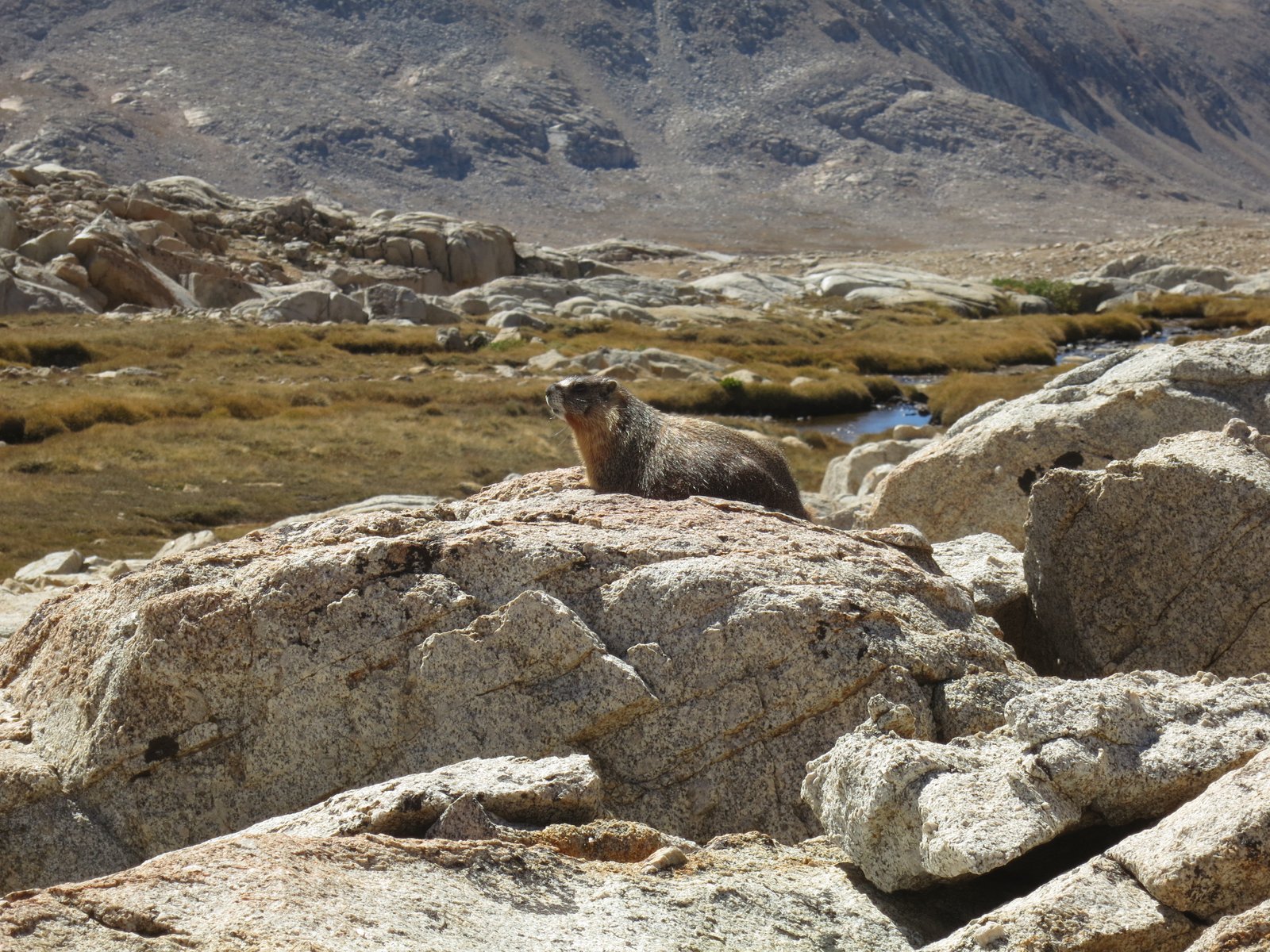
After the pass, the grind started. Our goal was to reach Guitar Lake, which is the last camping spot before Mt. Whitney. The bad news was that it would require a 20+ mile hike with a ton of elevation change. One of the ways we passed time was to look for marmots. These fat, furry creatures live in the rocky barren areas of the high basins. They dig elaborate tunnel systems below the rocks, but most often are seen sunning themselves perched on boulders. They make a chirping sound that caused us to constantly play the “find the marmot” game.
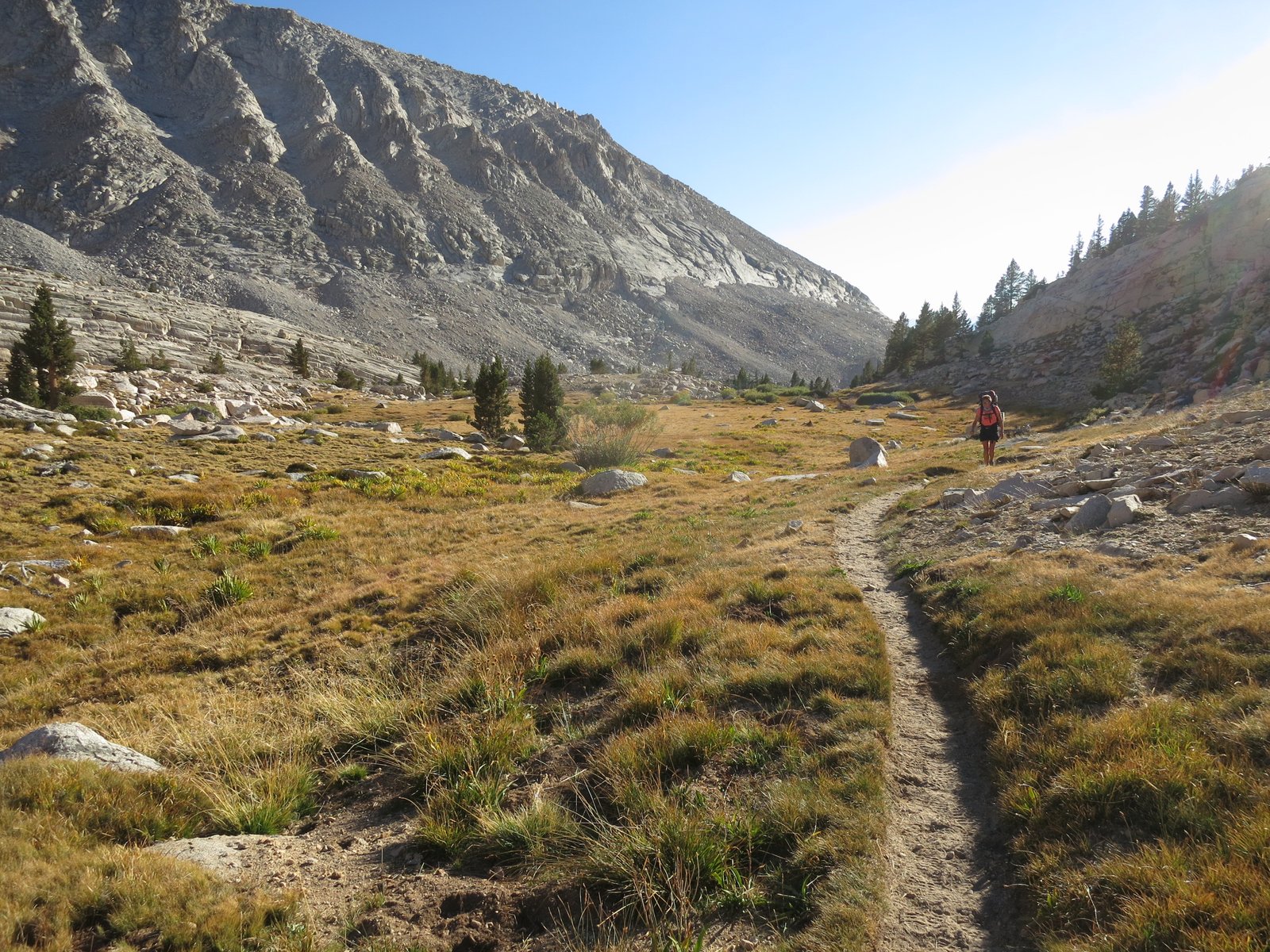
We also saw a lot of deer. They were usually in pairs and would appear on or around the trail in front of us. They don’t feel threatened by humans but are still frightened if you get too close.

The last section of the hike required us to turn east and climb into the Whitney Lake basin. It was late in the afternoon and both of us were exhausted. The picture below shows Tracy after the final climb of 1,600 feet to Guitar Lake. We ended up climbing almost 5,000 feet over 21 miles on this day.
Guitar Lake has lots of camping restrictions in place to make sure that the last water source prior to Whitney is not polluted by the mass of people that camp there. It was close to 6pm when we pulled in so we got the slim pickings from what was left, which was a lumpy piece of sand about 100 feet from the trail. Tracy went to soak her legs by standing in the icy lake, and I got water (no picture this time). By the time we got camp set up, the sun had set so we cooked dinner in the vestibule of the tent. We set the alarm for 3am so we could summit close to sunrise. The morning came fast and we were packed up and climbing by a little after 4am. The trail ascended 2,200ft to the intersection of the crest trail (the one that takes you down the other side) and the Mt. Whitney summit trail. The intersection is called “pack rest” since the last two miles of the summit trail is an out-and-back, so we were able to leave our packs here and climb to the summit. The sun was just rising so the colors were striking coming through the pinnacles along the trail. The actual summit is the far plateau above Tracy’s head in the picture below.


We made the summit before 7:30am. There were a few people already there, including a group that had just completed the JMT. They took the picture below of us.

Getting to the top is only half the effort – the descent from Whitney is straining on the body. It requires over 10 miles of down-dropping more 6,000ft to the Whitney Portal. The drop is through multiple lake basins that contain countless switchbacks.


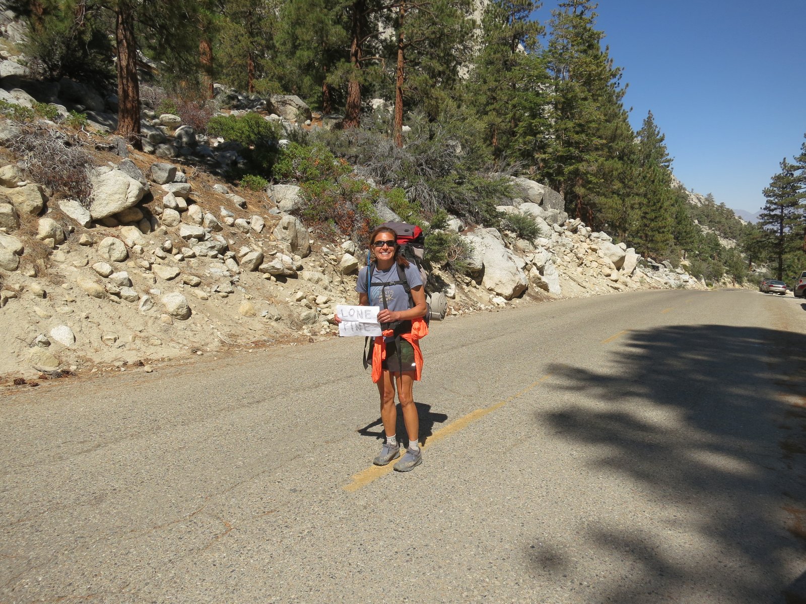
After many hours of knee jarring steps, we made it. We had beer and champagne at the store to celebrate our successful trip, and Tracy made a sign so we could hitch a ride to Lone Pine where we had reservations at a hotel for the night. The plan today is to catch the bus to Lancaster, CA., rent a car to Burbank, and then fly home. If all goes well, we will be in our own bed by midnight.